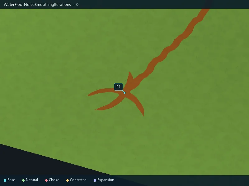
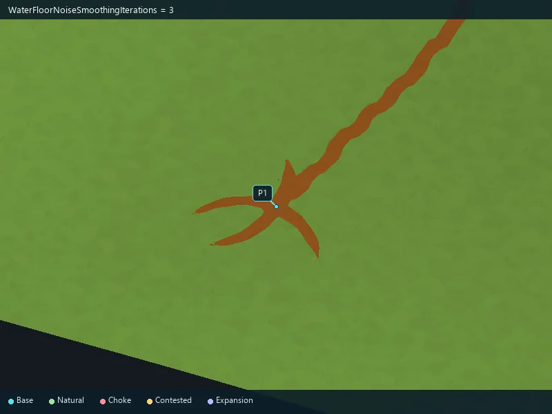
40
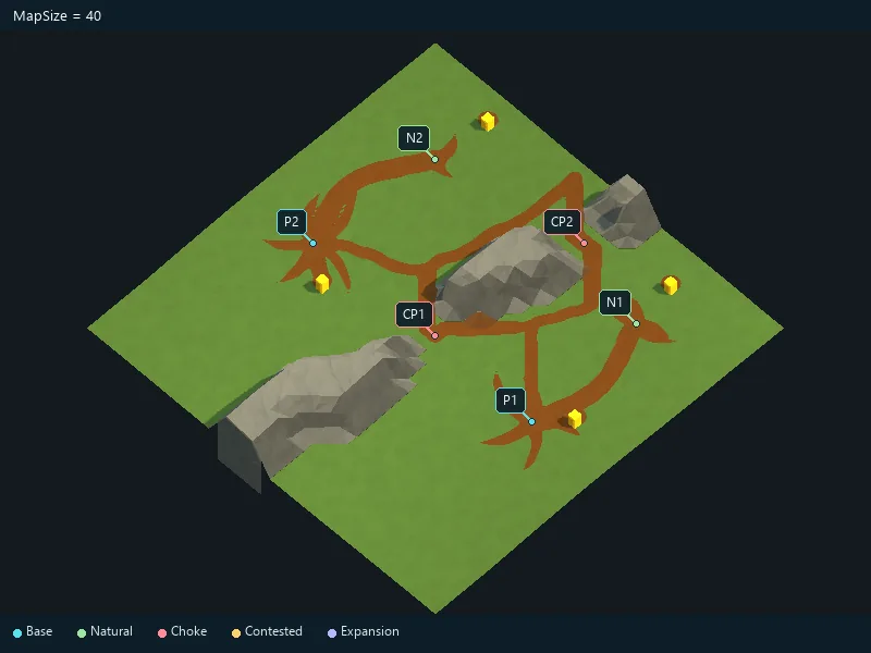
Size of the square map.
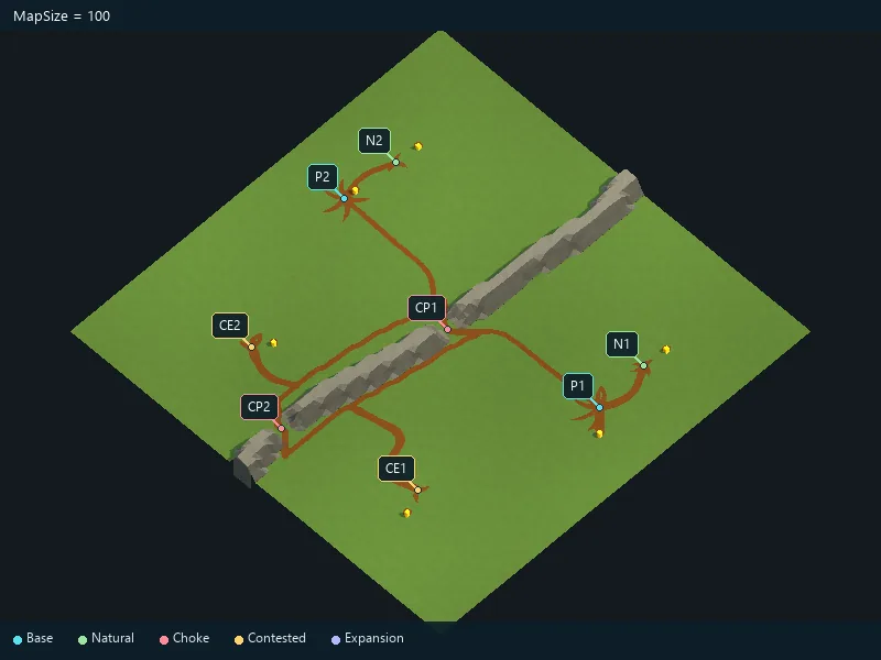
Requested number of player starts.
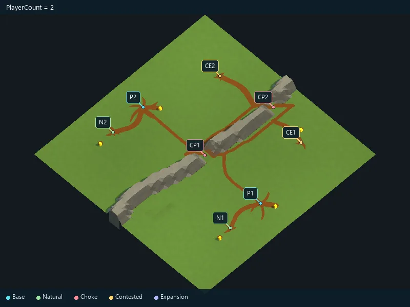
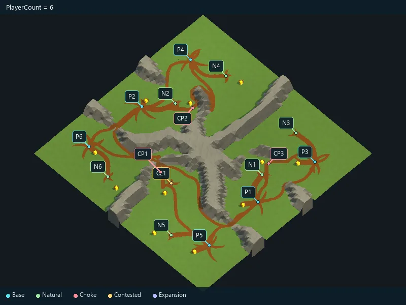
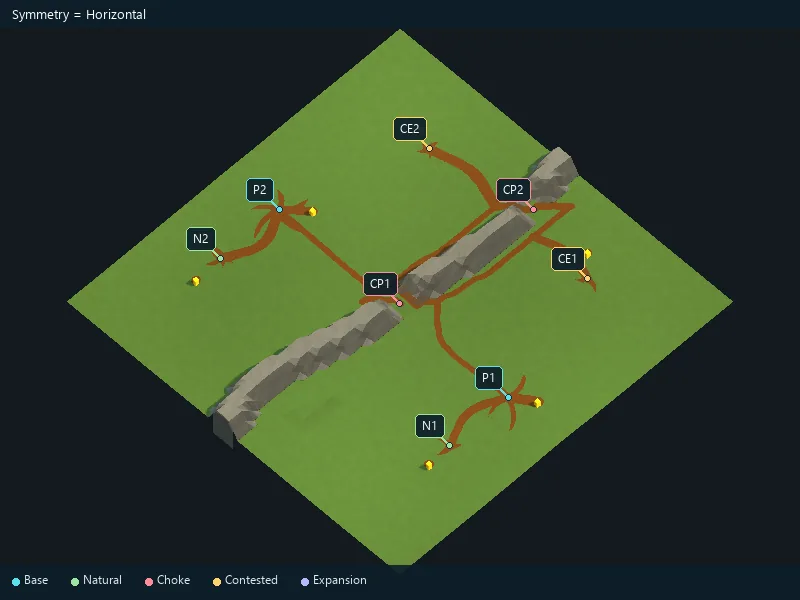
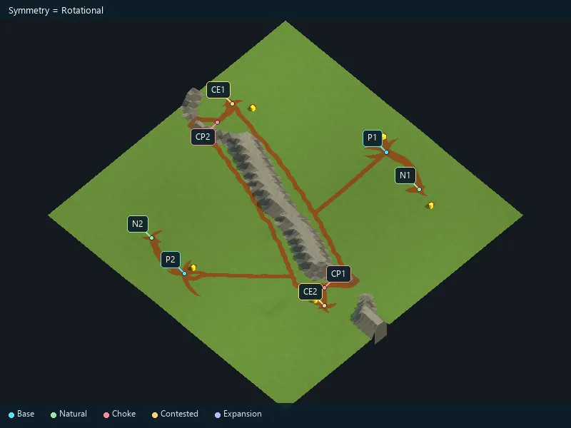
Arrangement of player starts; full-map symmetry is a separate option.
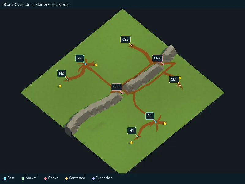
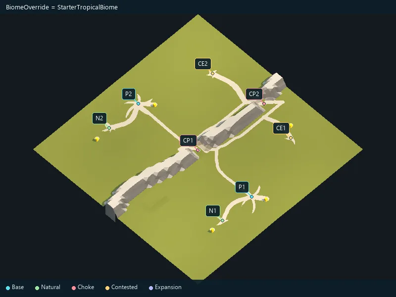
Biome setting used for this map.
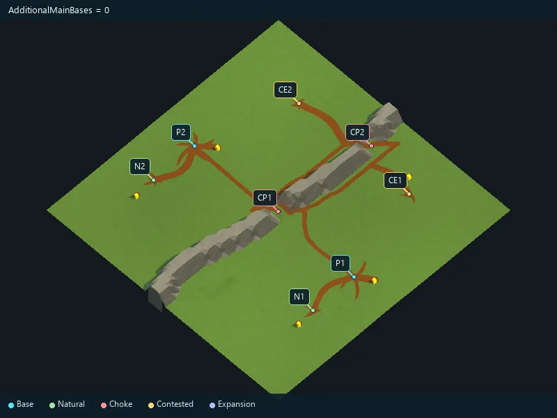
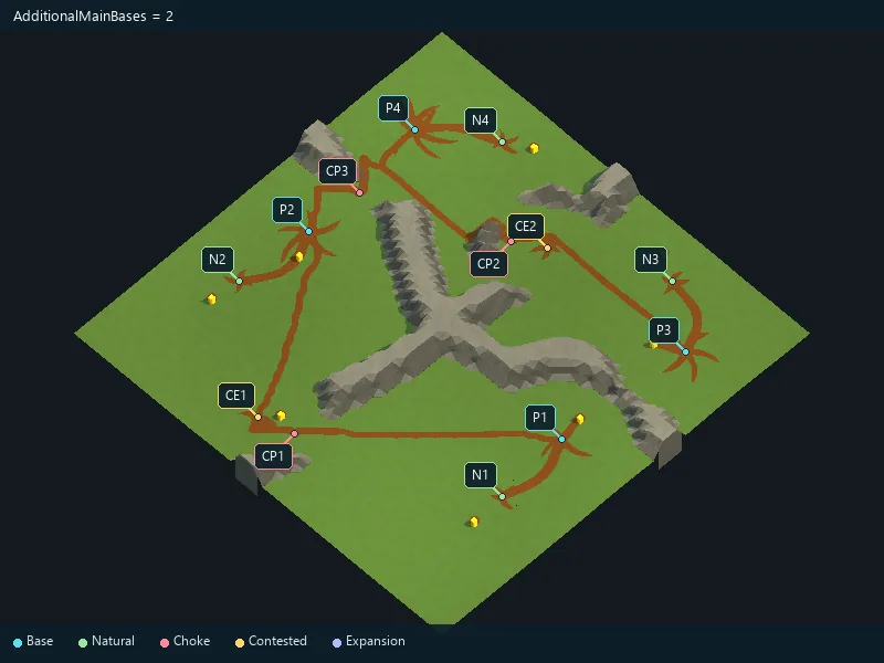
Extra main-base locations.
Requested expansions for each player.
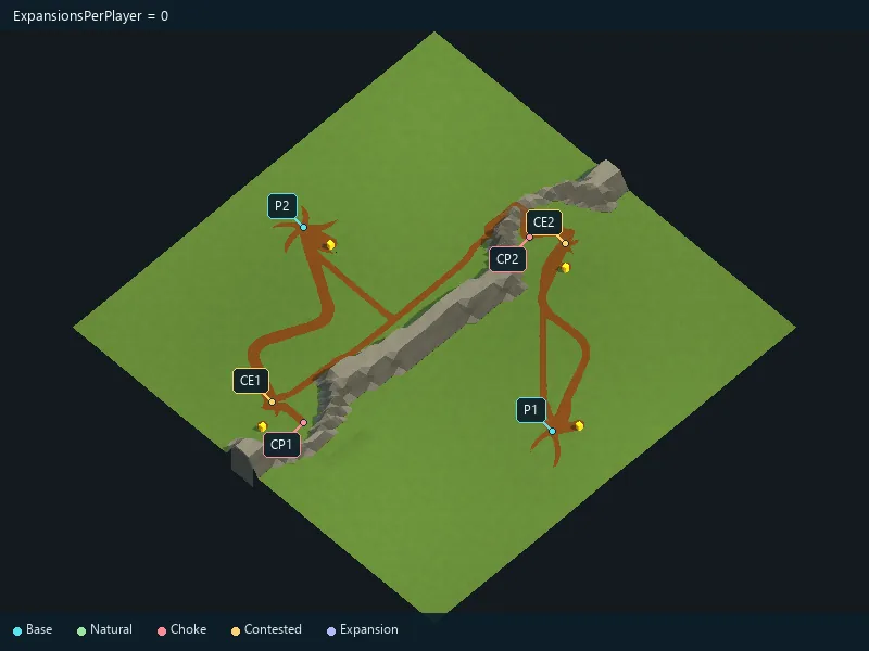
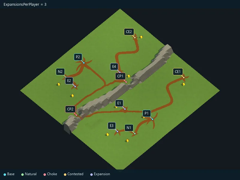
Requested neutral expansion locations.
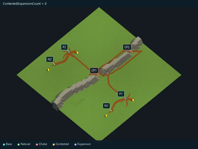
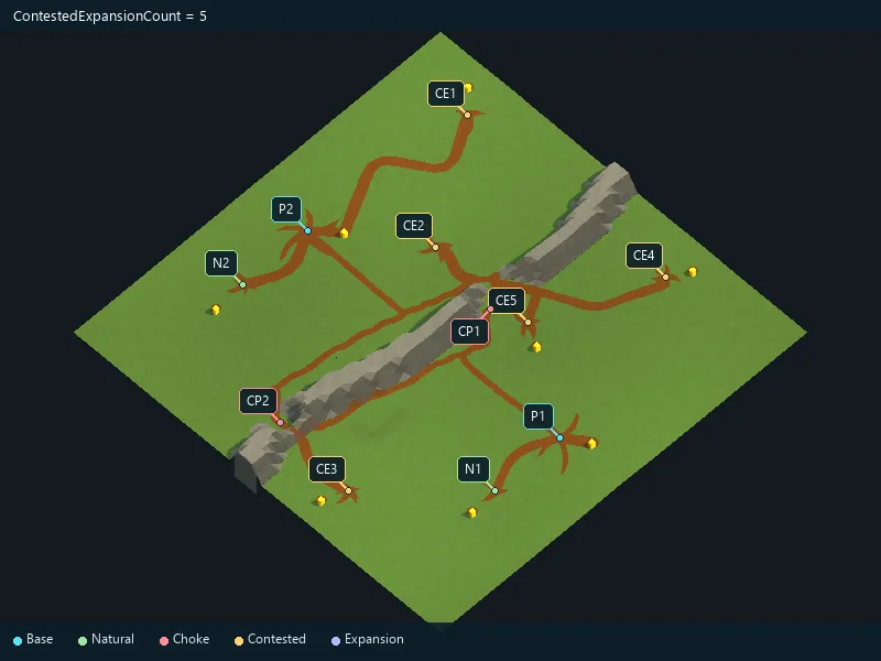
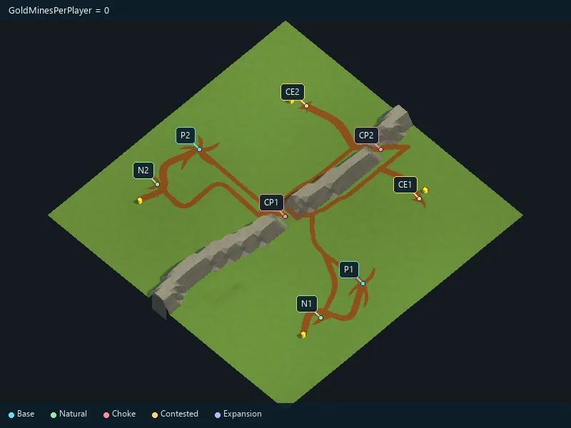
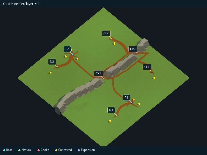
Requested starting gold mines for each player.
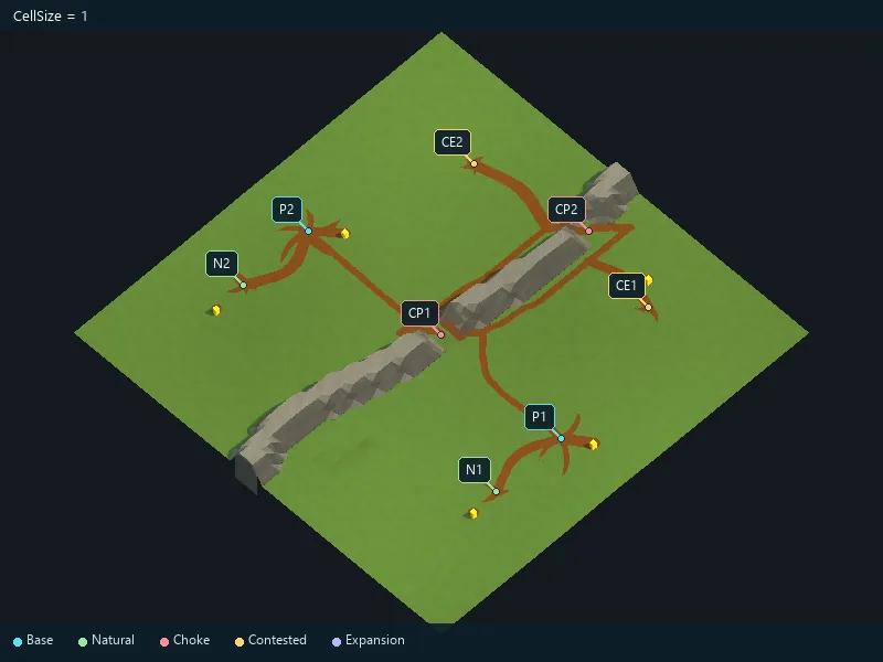
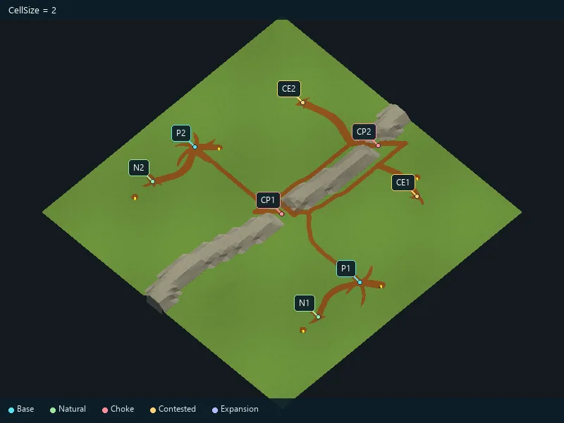
World-space size of a map cell.
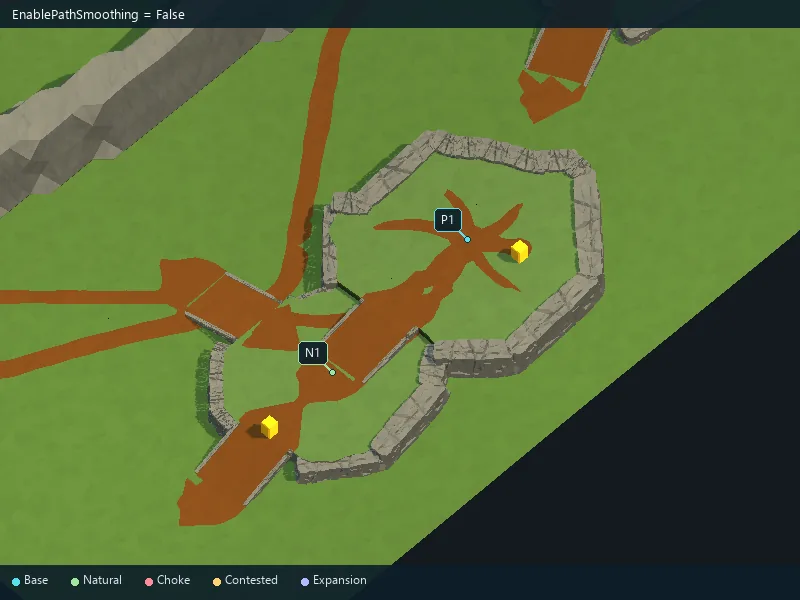
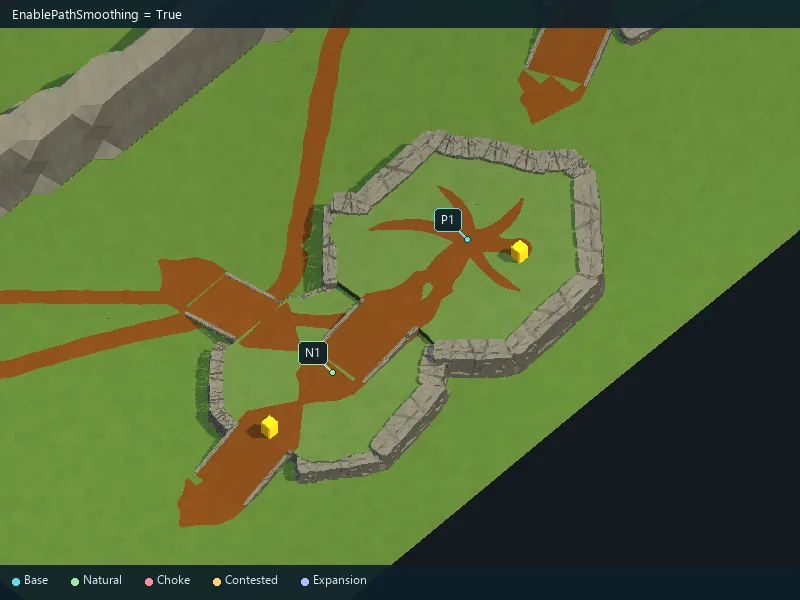
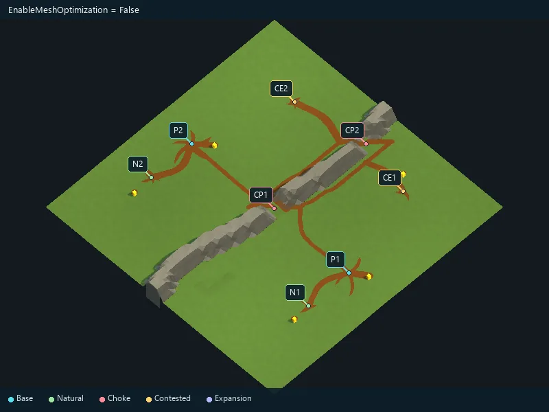
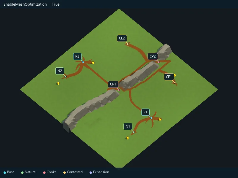
Optimize the generated terrain while keeping its appearance.
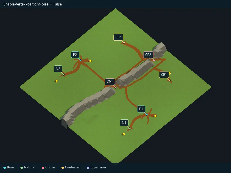
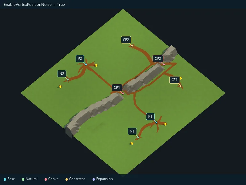
Add small irregularities to the terrain.
Soften the outlines of procedural terrain areas.
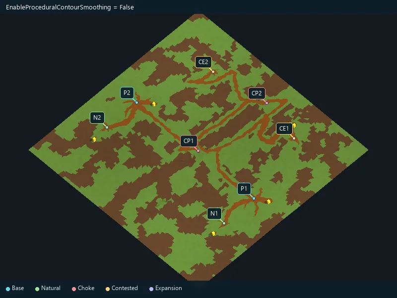
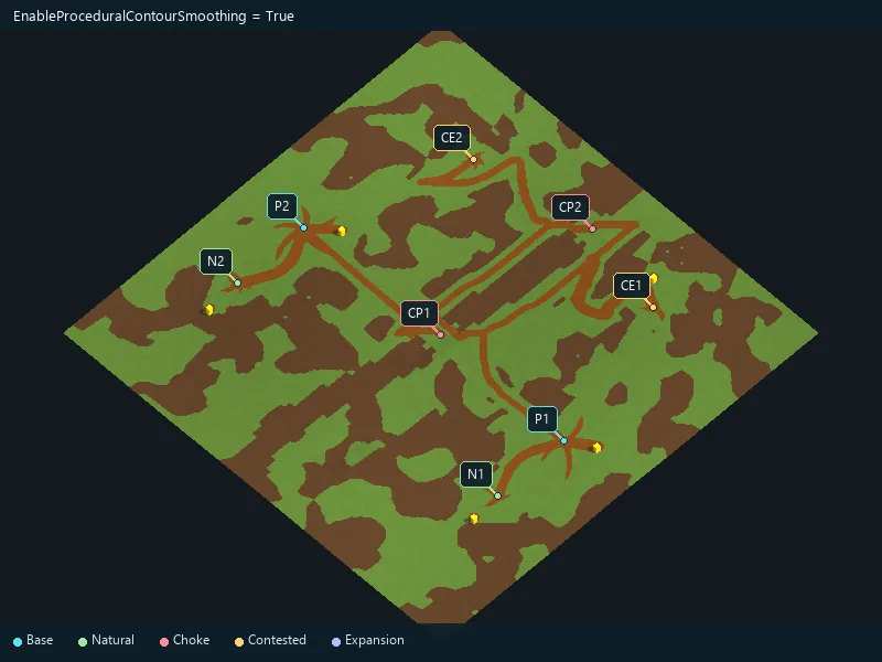
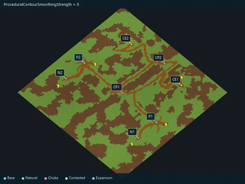
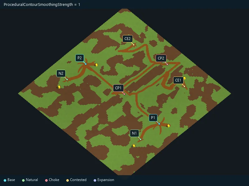
Strength of procedural contour smoothing.
Enable forest areas in procedural generation.
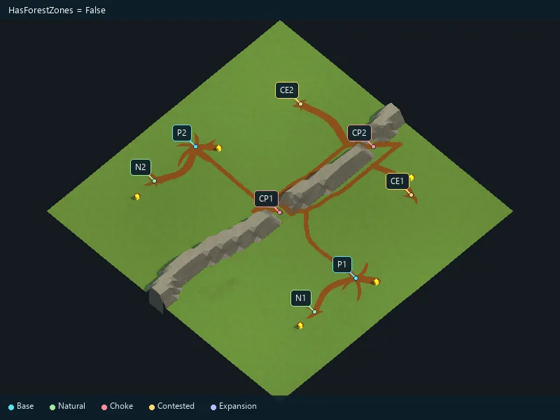
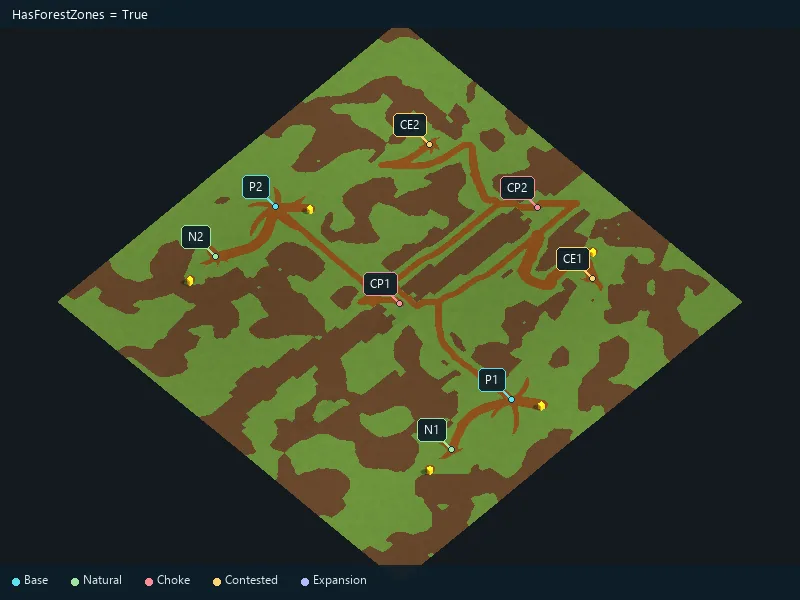
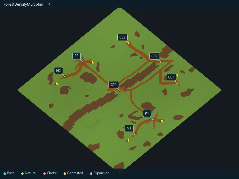
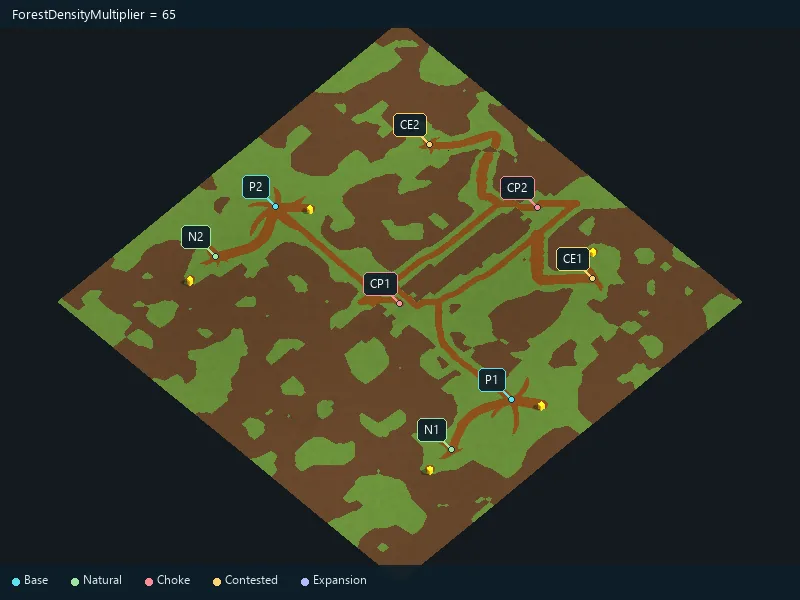
Requested forest coverage; available space can limit it.
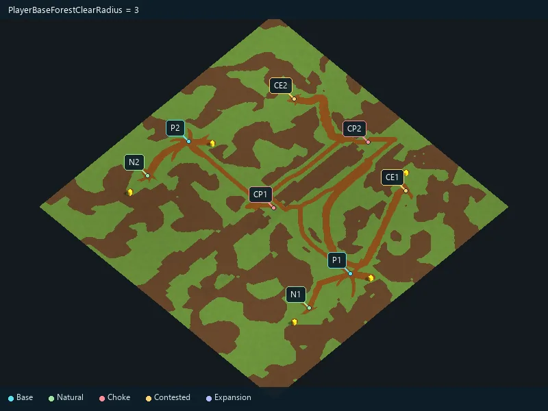
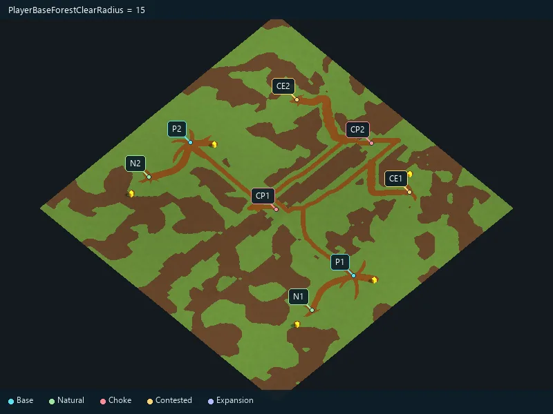
Clear space around main bases.
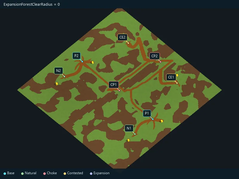
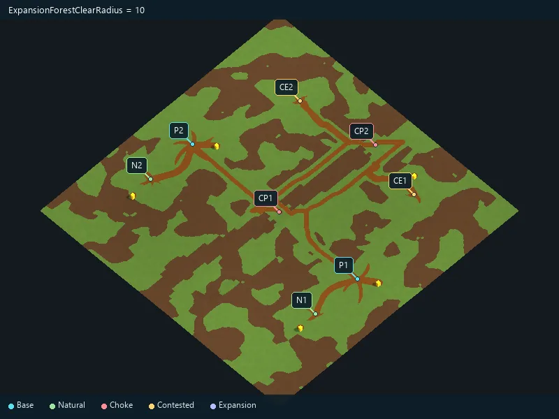
Clear space around expansion locations.
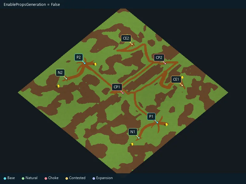
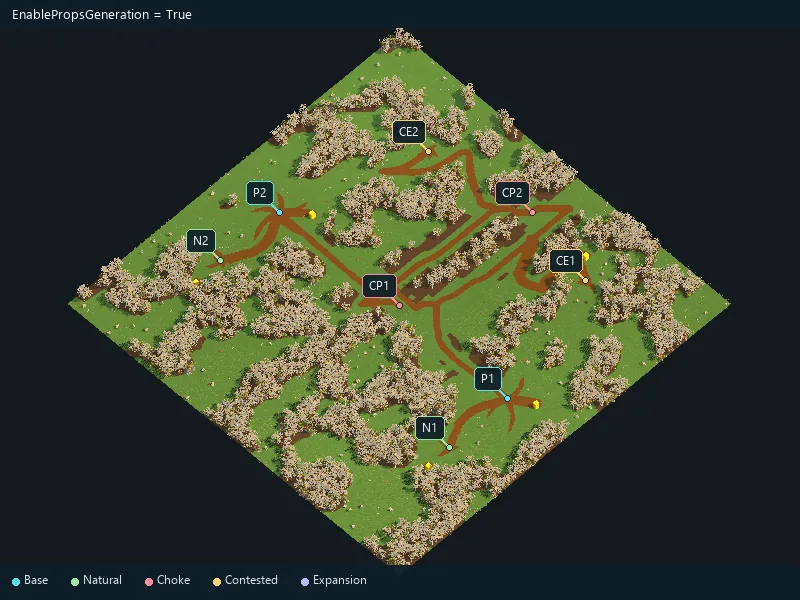
Place the biome’s decorations.
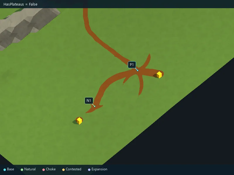
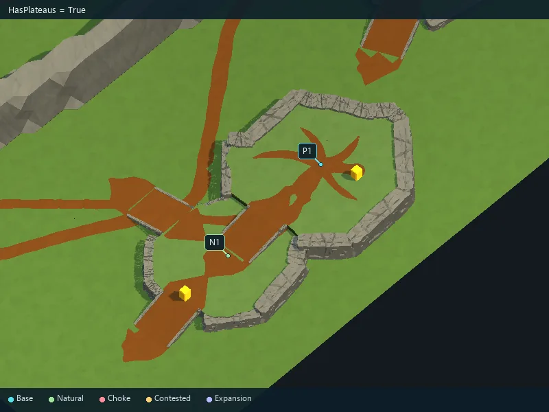
Enable raised plateaus.
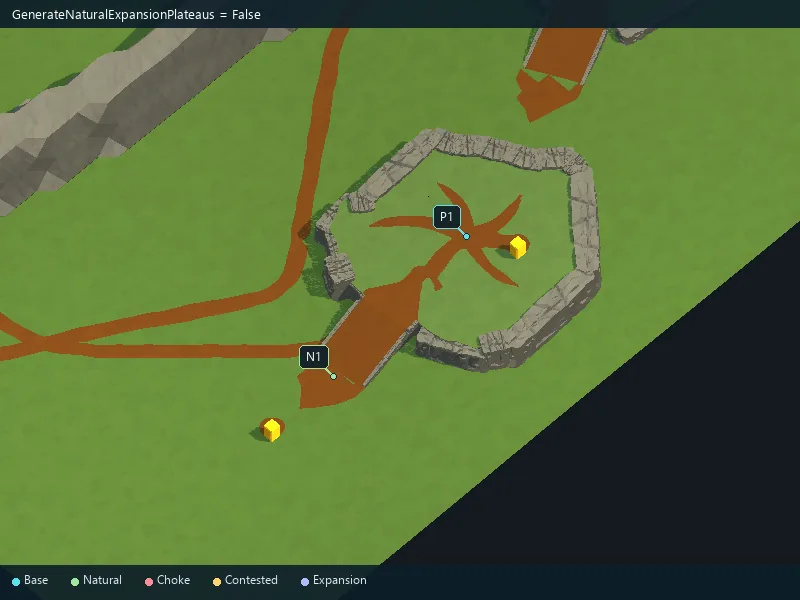
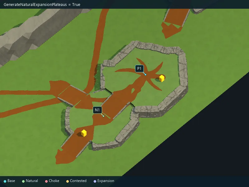
Place natural expansions on their own plateaus.
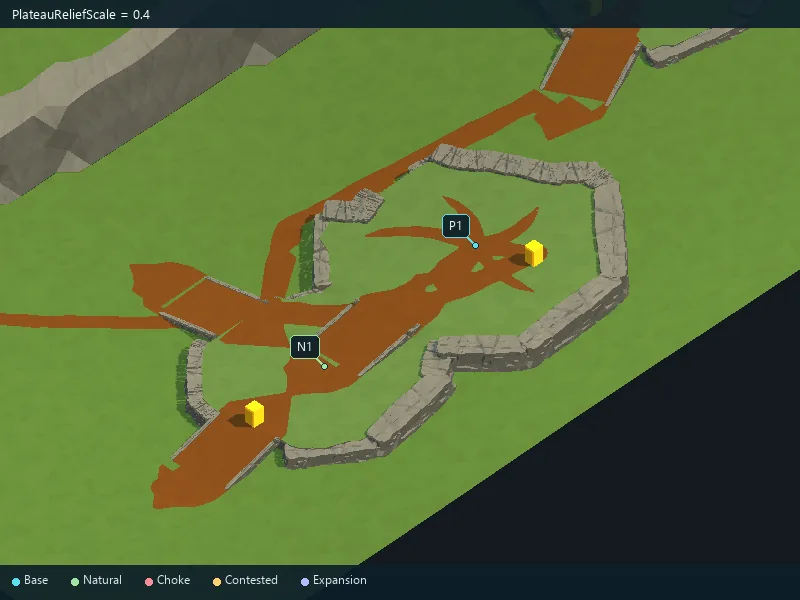
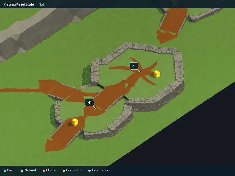
Height of plateau relief.
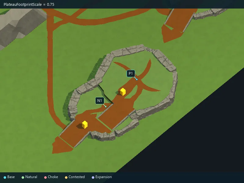
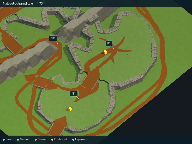
Size of plateau building areas.
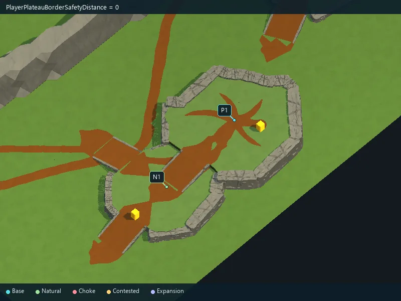
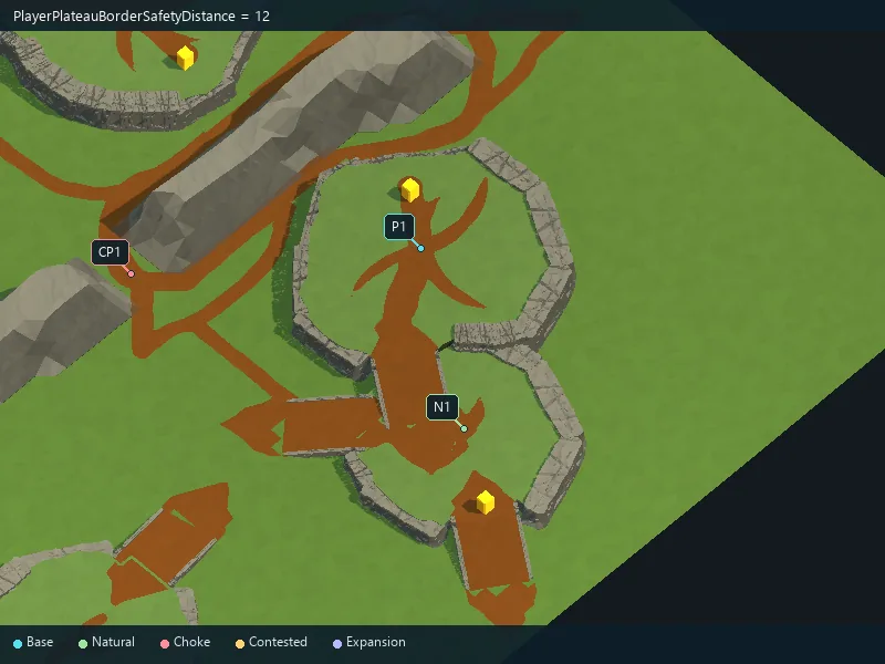
Space between player plateaus and the map boundary.
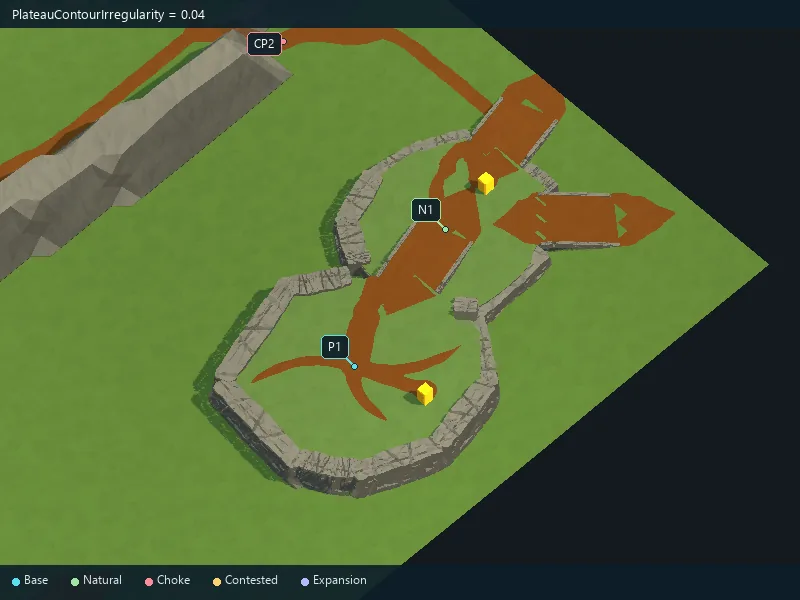
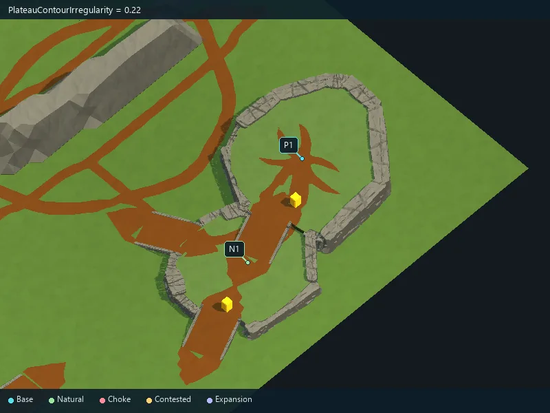
Irregularity of plateau outlines.
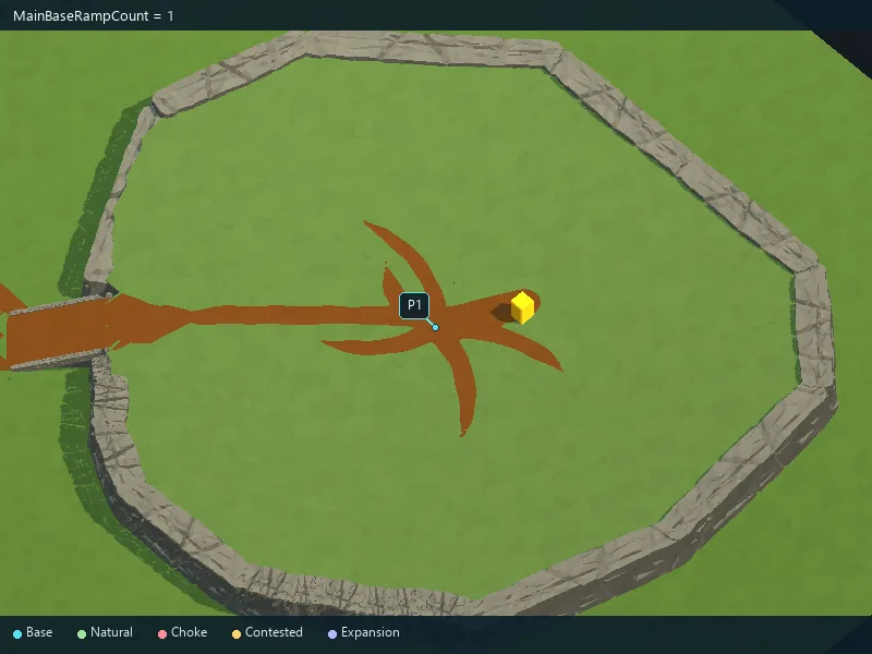
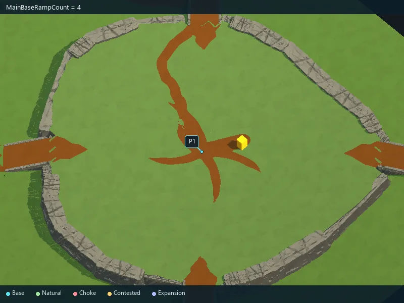
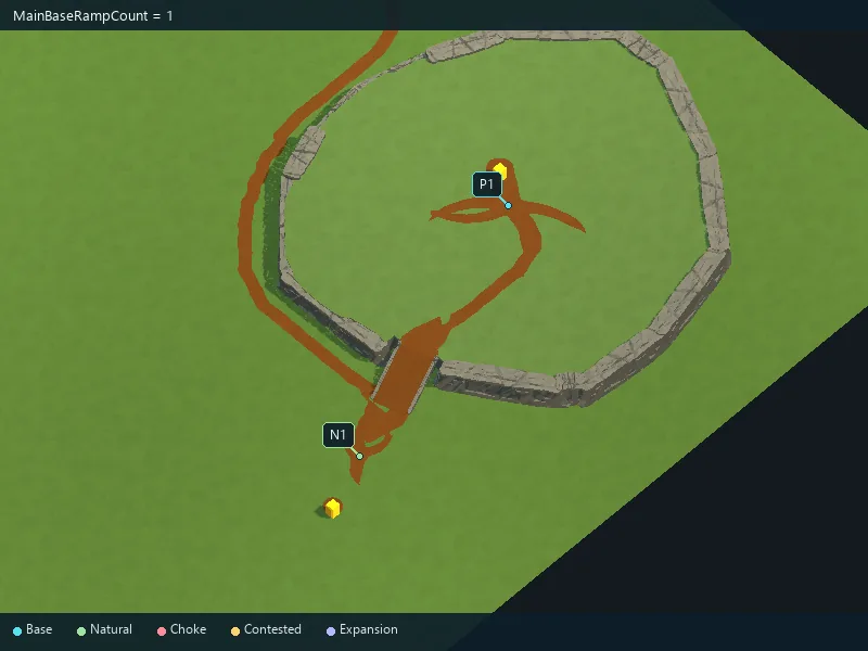
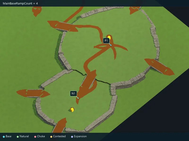
Requested accesses to main plateaus.
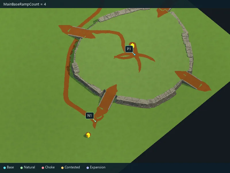
Requested accesses to main plateaus.
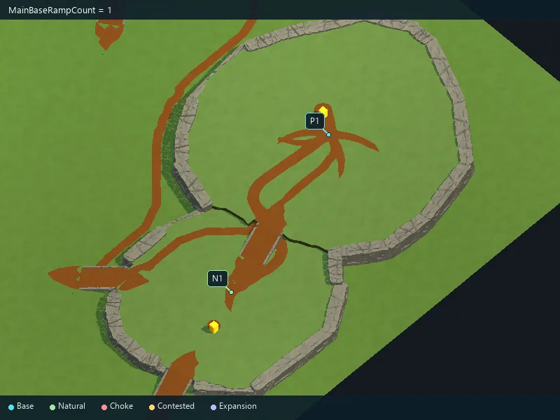
Requested accesses to main plateaus.
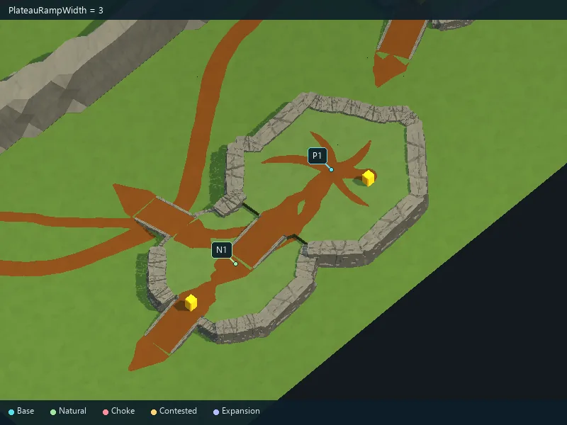
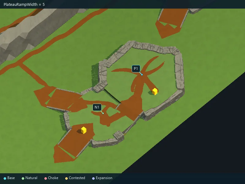
Width of plateau ramps.
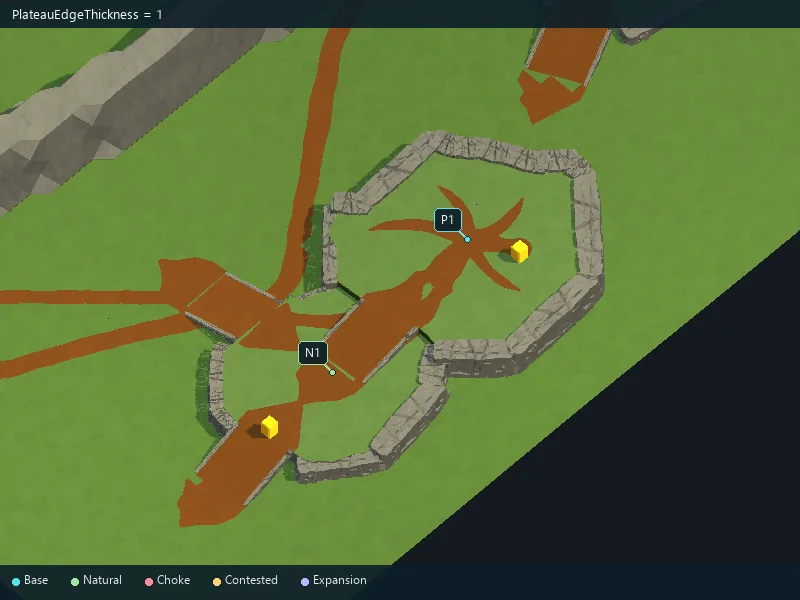
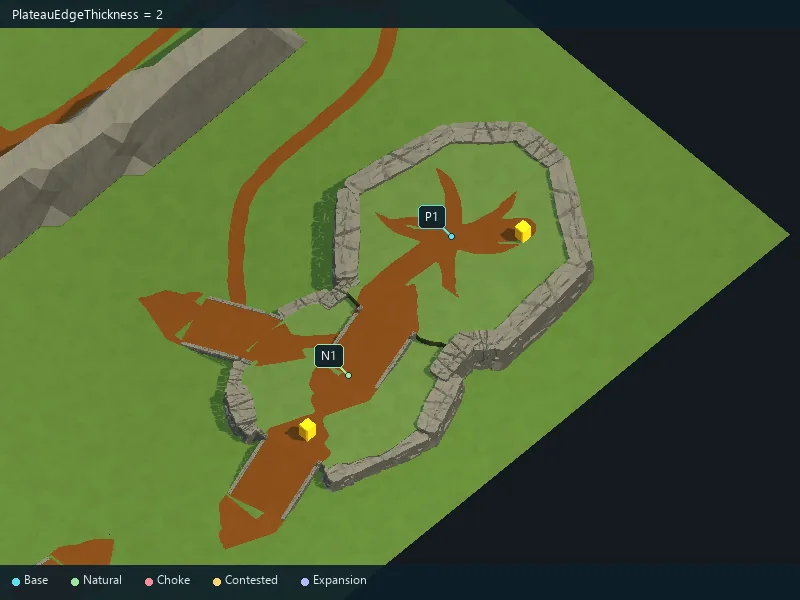
Width of the rocky plateau border.
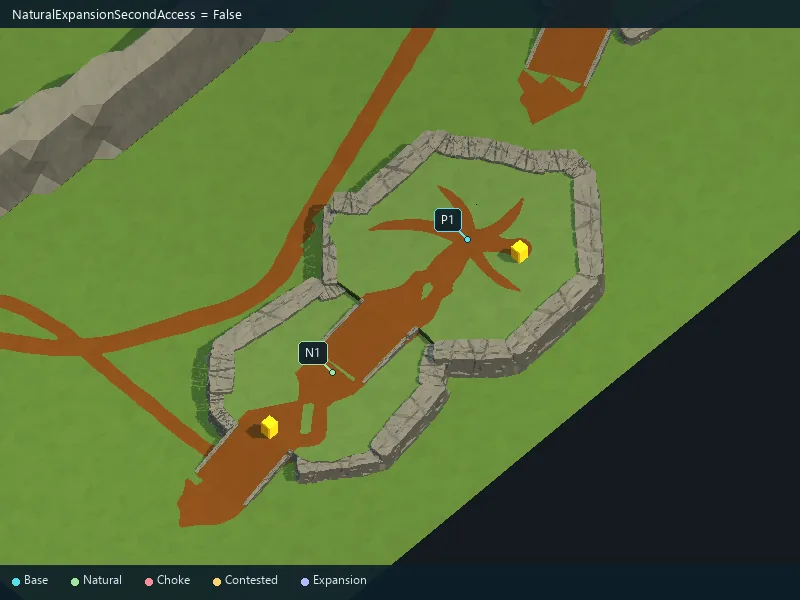
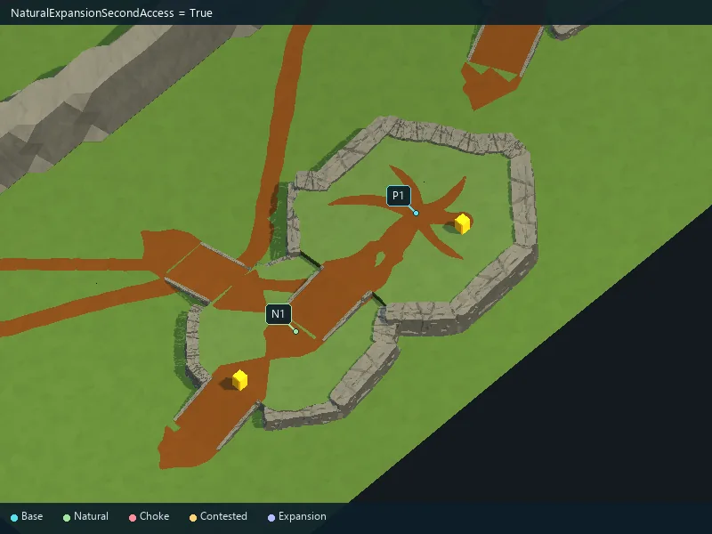
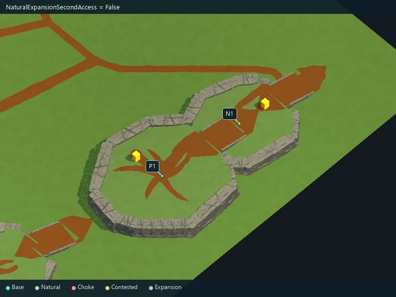
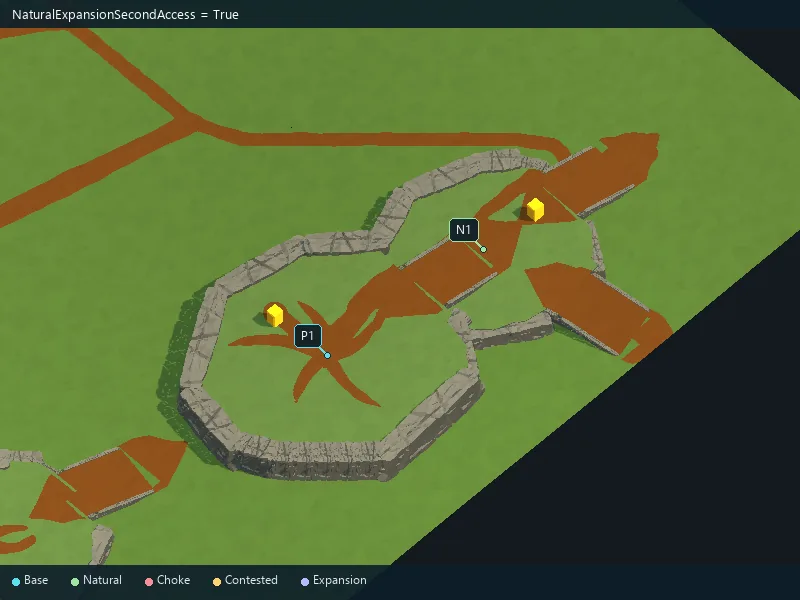
Request an additional exterior access for natural expansions.
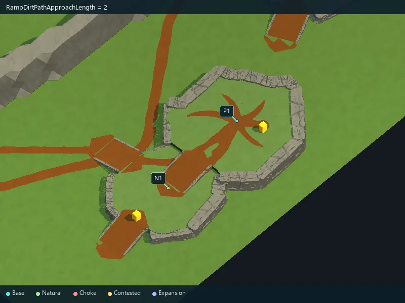
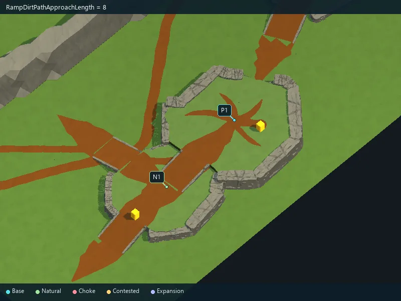
Length of worn ground at ramp entrances.
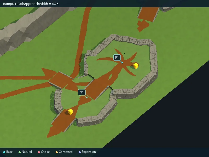
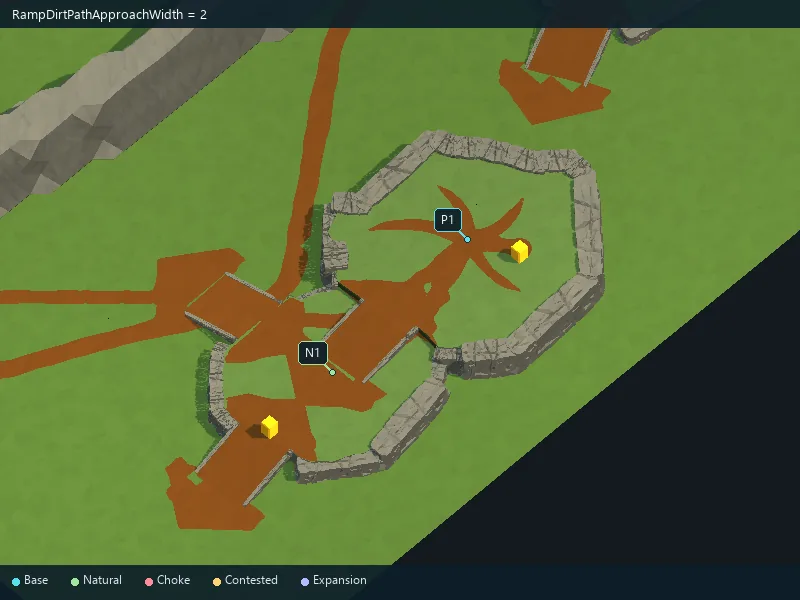
Width of worn ground at ramp entrances.
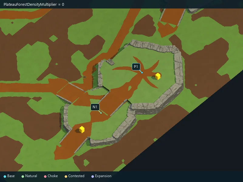
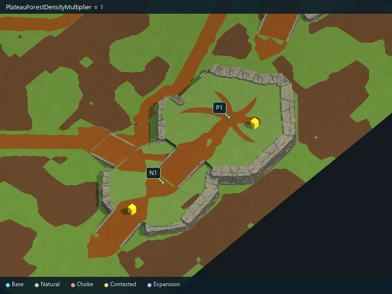
Amount of forest on plateau tops.
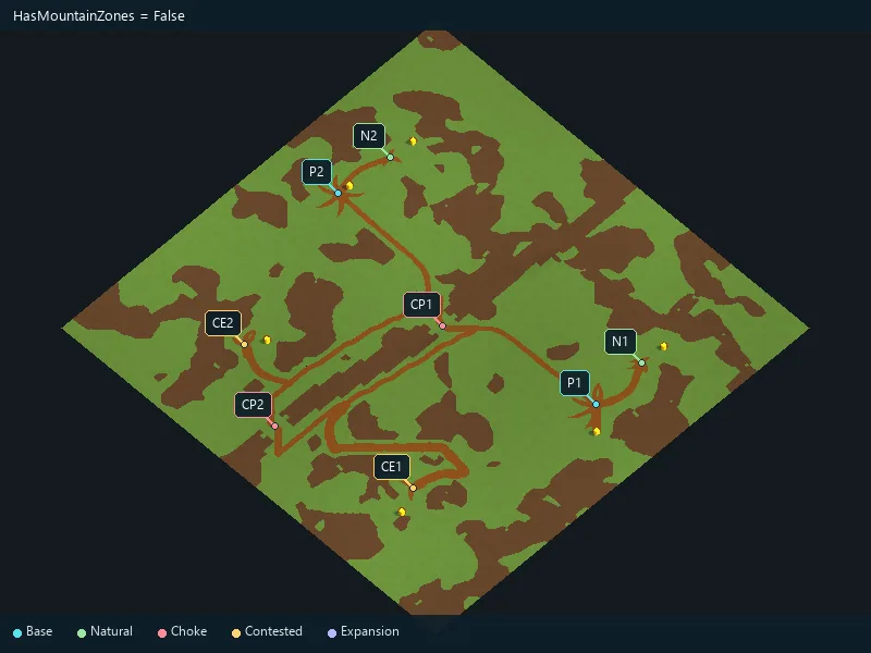
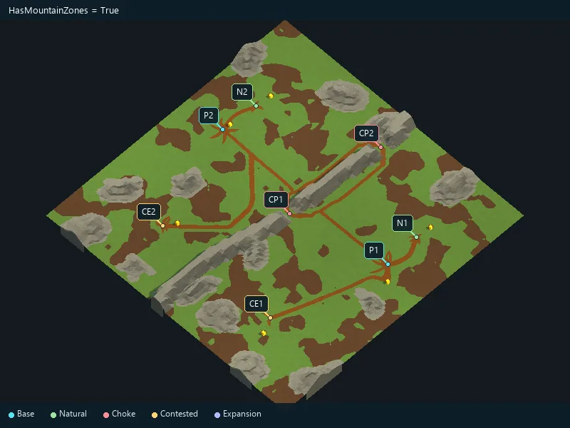
Enable mountains.
Requested amount of mountain formations.
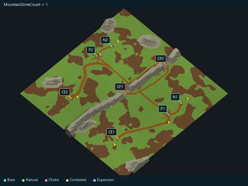
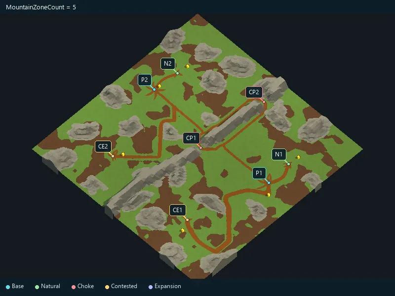
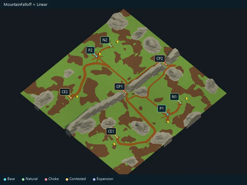
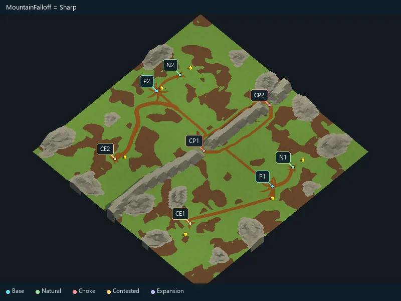
Shape of the mountain slopes.
Peak height in procedural generation.
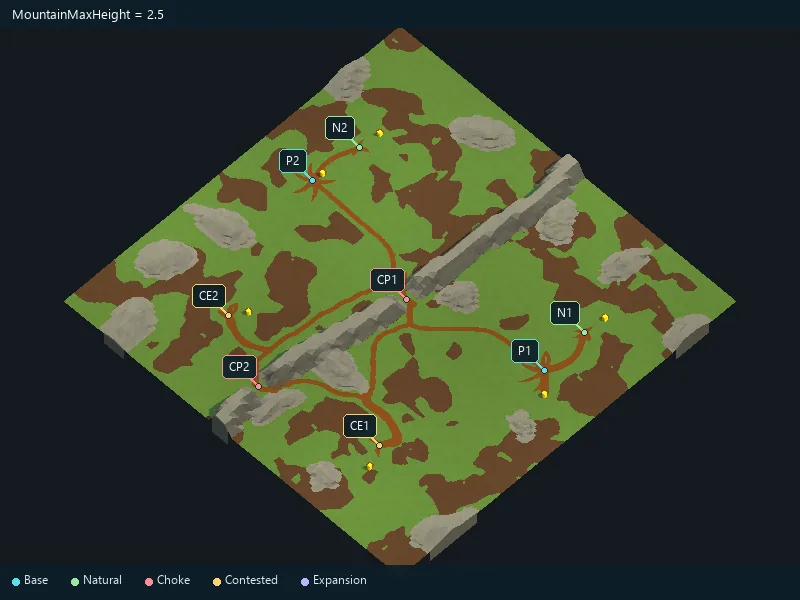
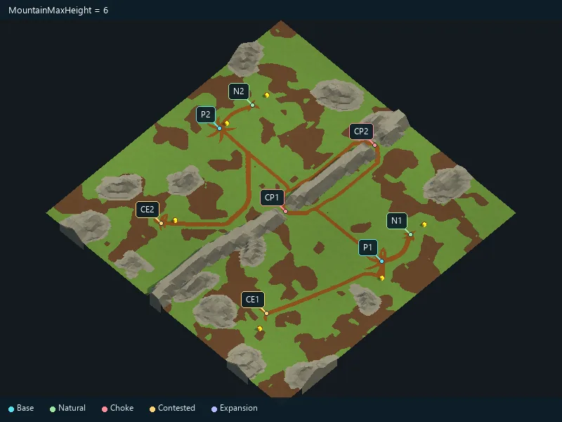
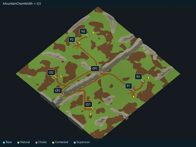
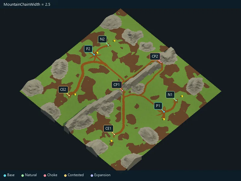
Width of mountain formations.
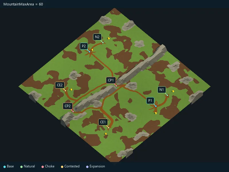
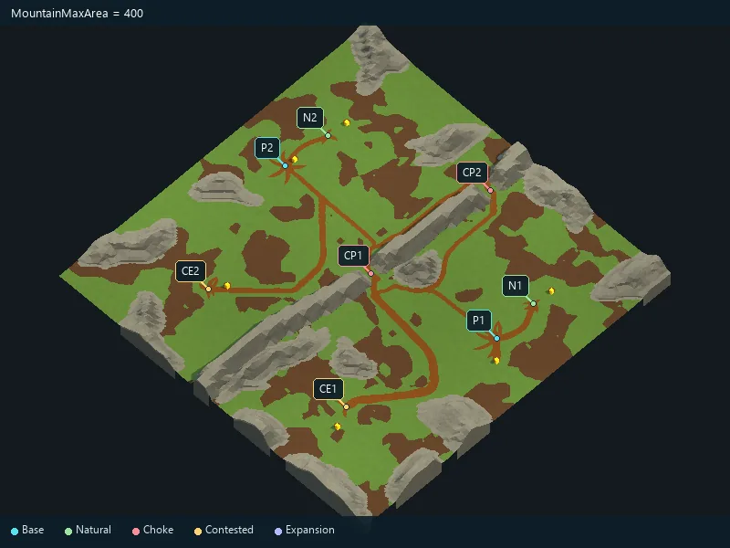
Maximum mountain footprint.
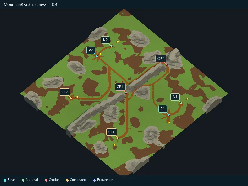
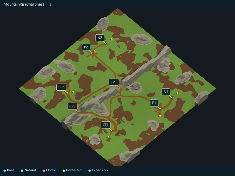
Sharpness of mountain peaks.
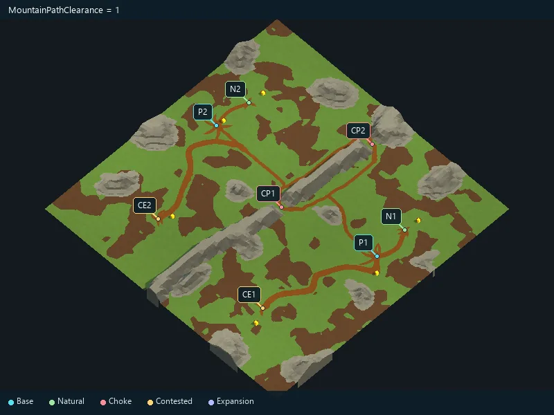
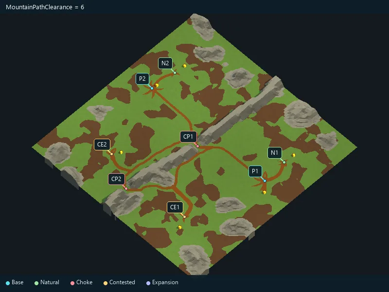
Open space around important mountain routes.
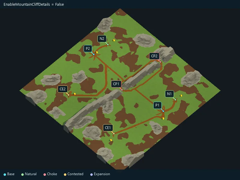
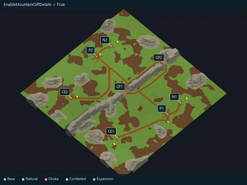
Add rocky details to mountains.
Size of mountain rock details.
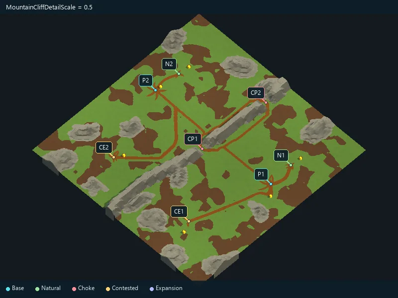
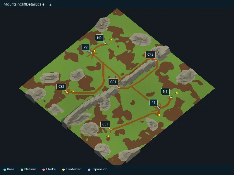
Add regional altitude variations.
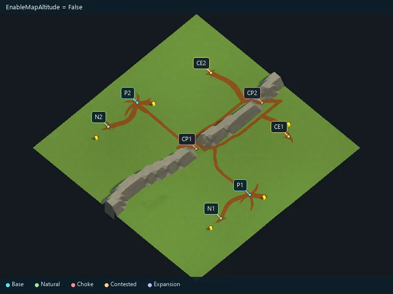
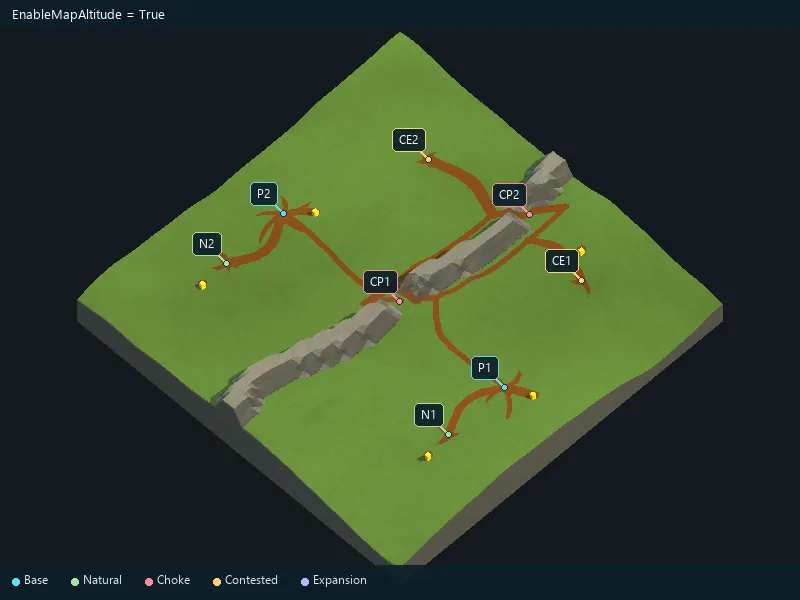
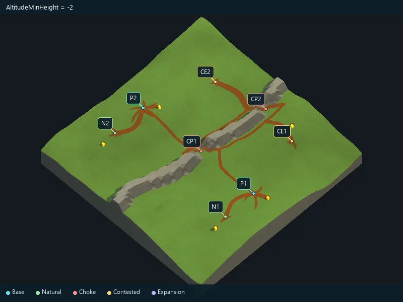
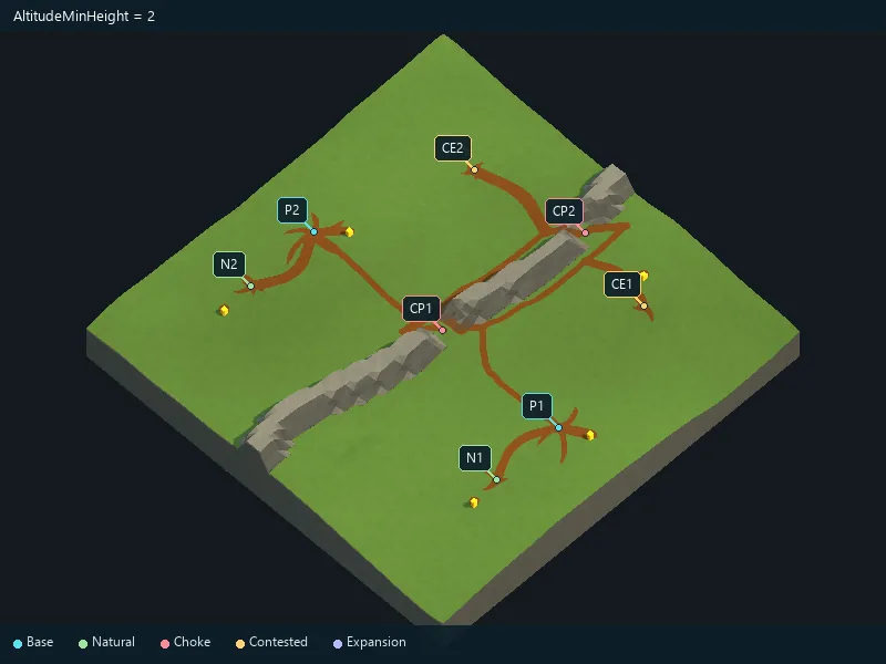
Minimum added altitude; local features can extend beyond it.
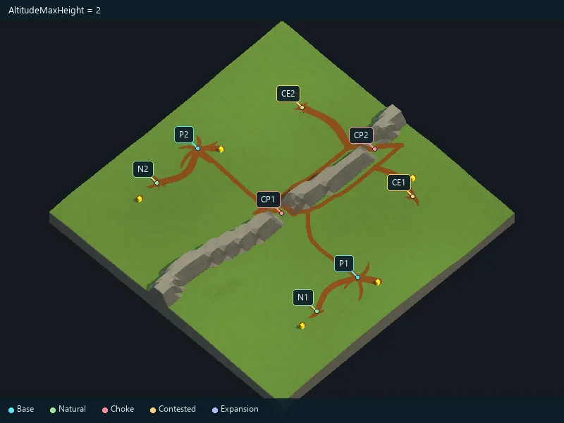
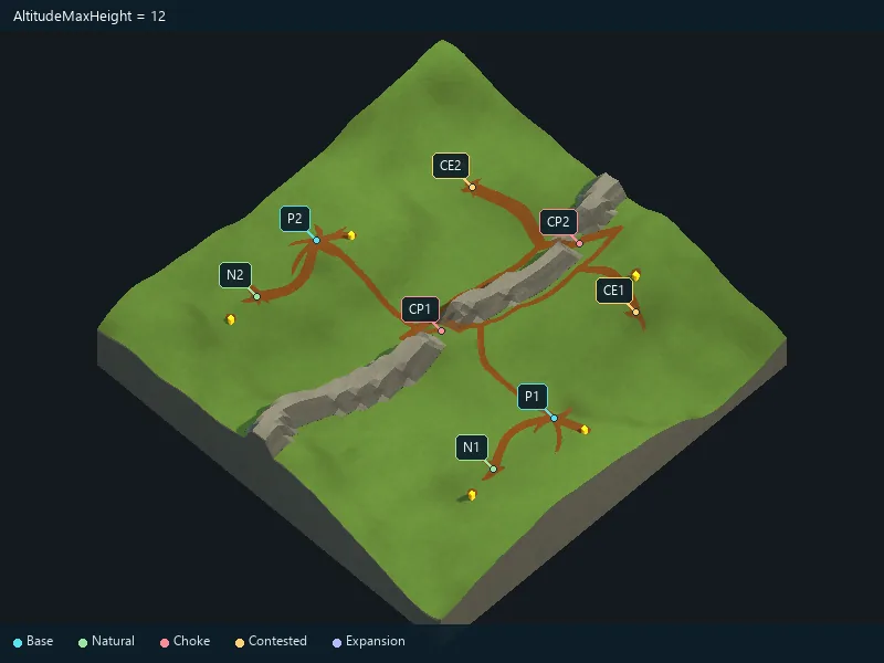
Maximum added altitude; local features can extend beyond it.
Frequency of automatic hills; lower values give broader hills.
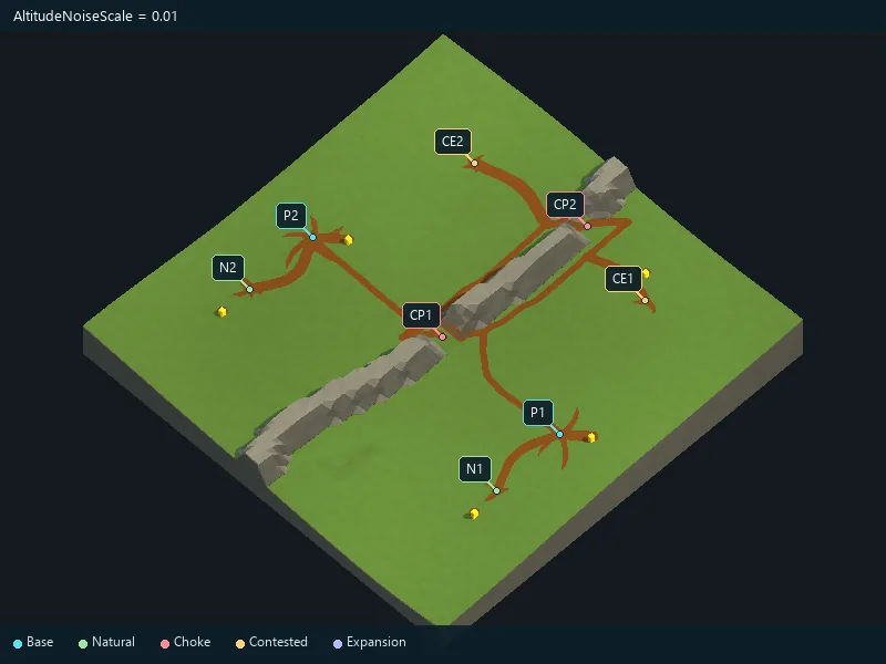
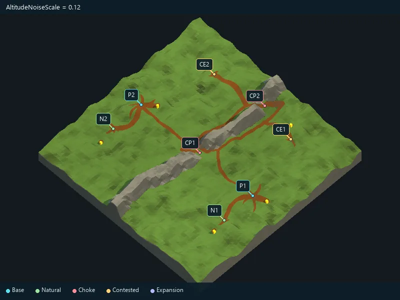
Grayscale texture controlling altitude; leave empty for automatic hills.
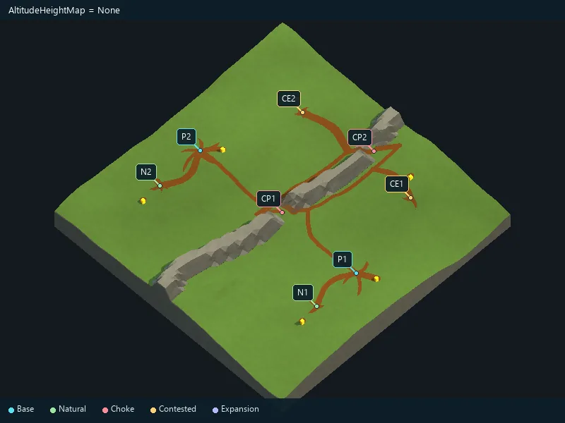
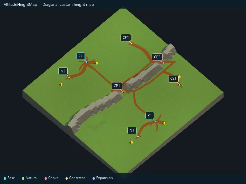
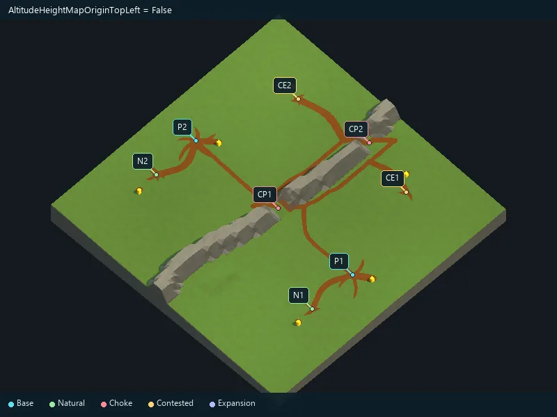
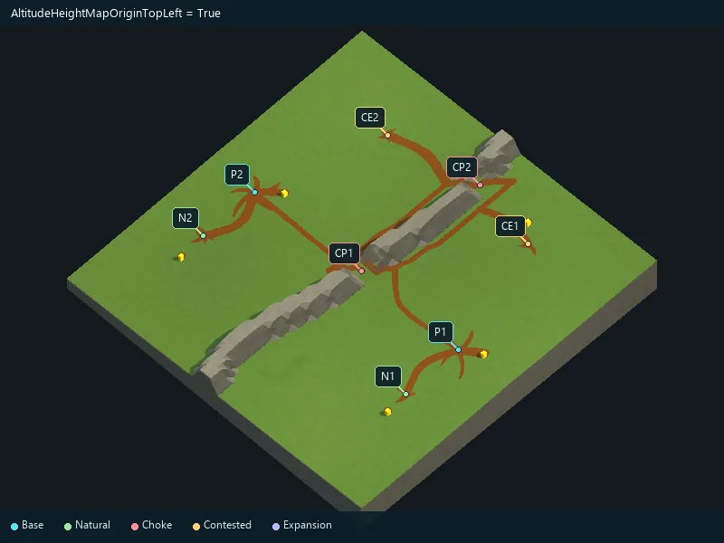
Flip the height map’s vertical orientation.
Enable procedural water areas.
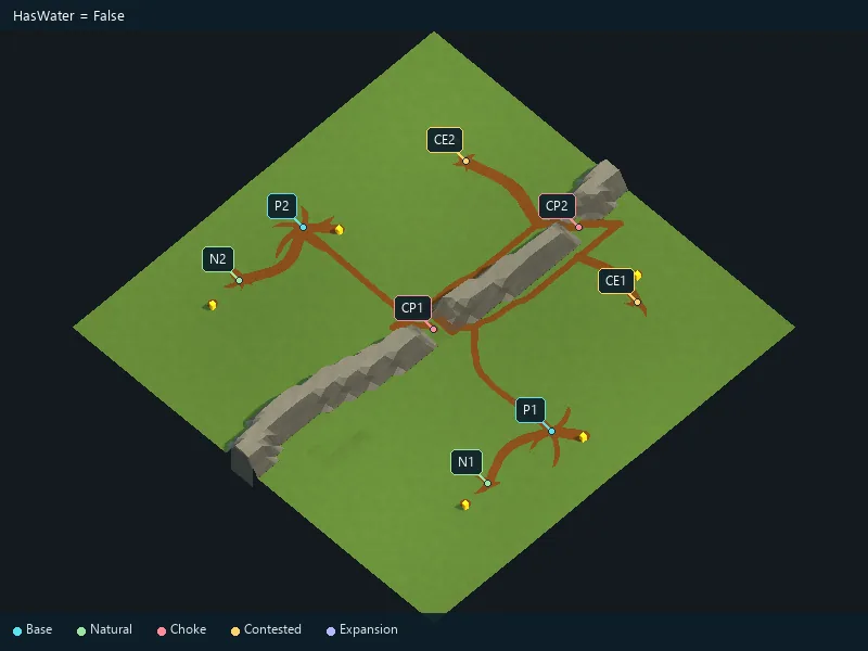
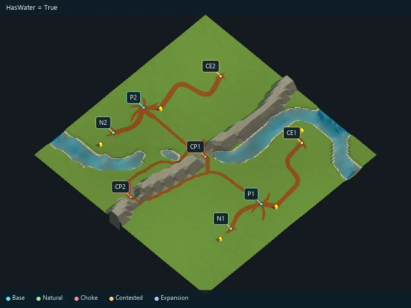
Choose River, Lake, Islands or Random.
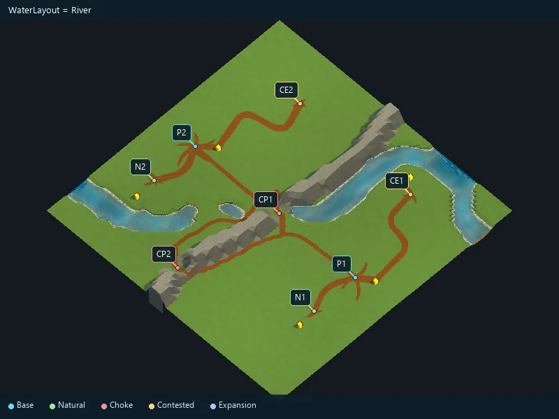
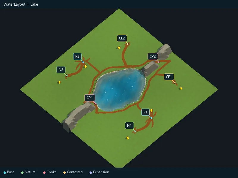
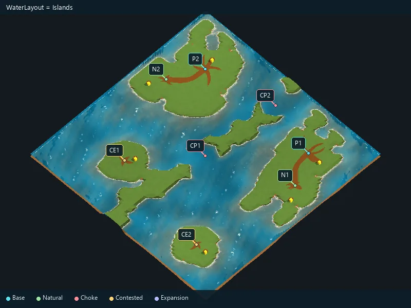
Additional water areas alongside the main layout.
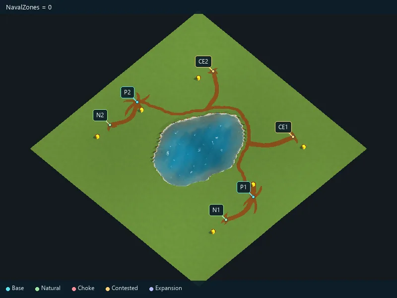
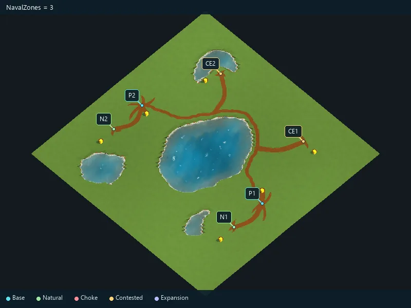
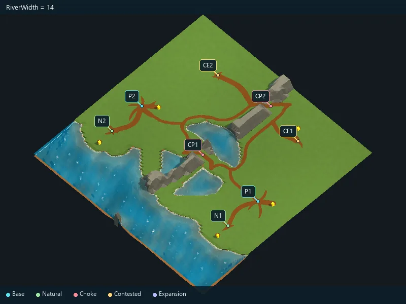
Width of rivers.
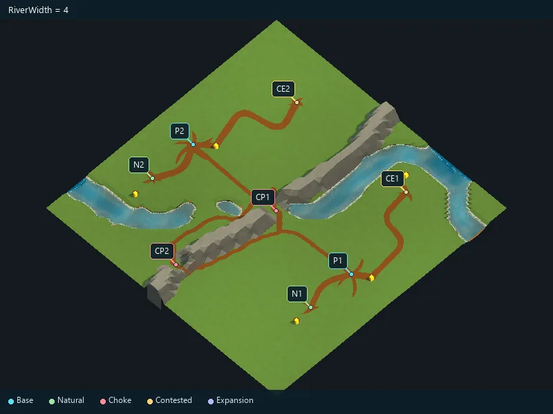
Amount of river curvature.
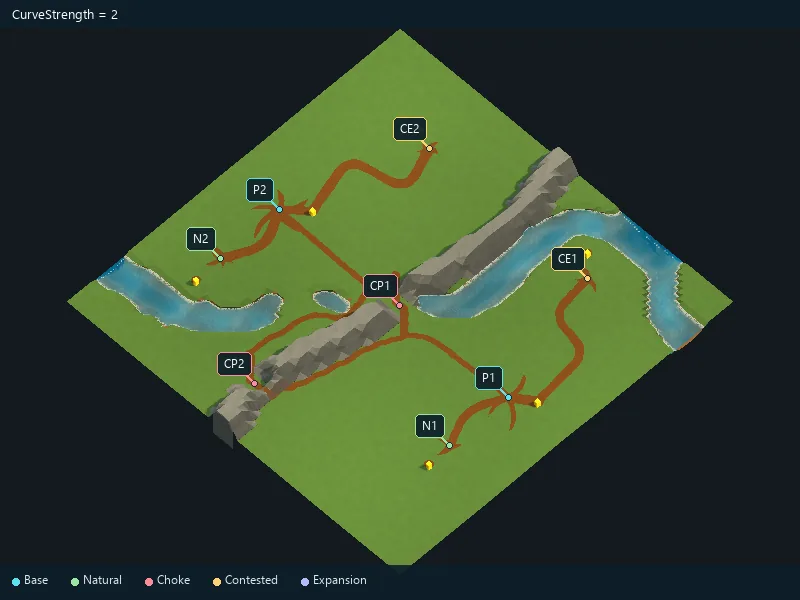
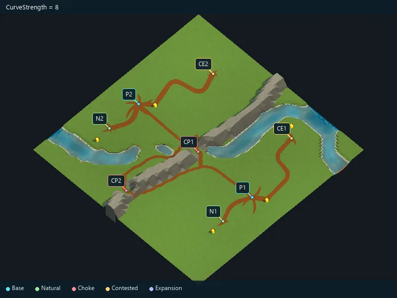
Control the detail of river bends.
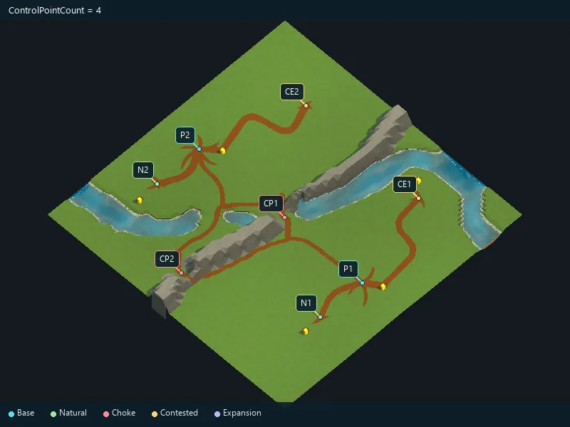
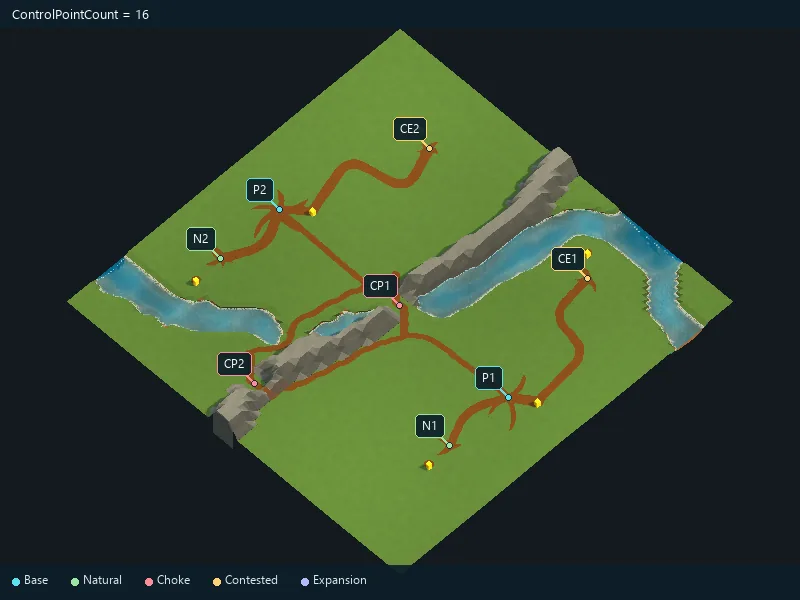
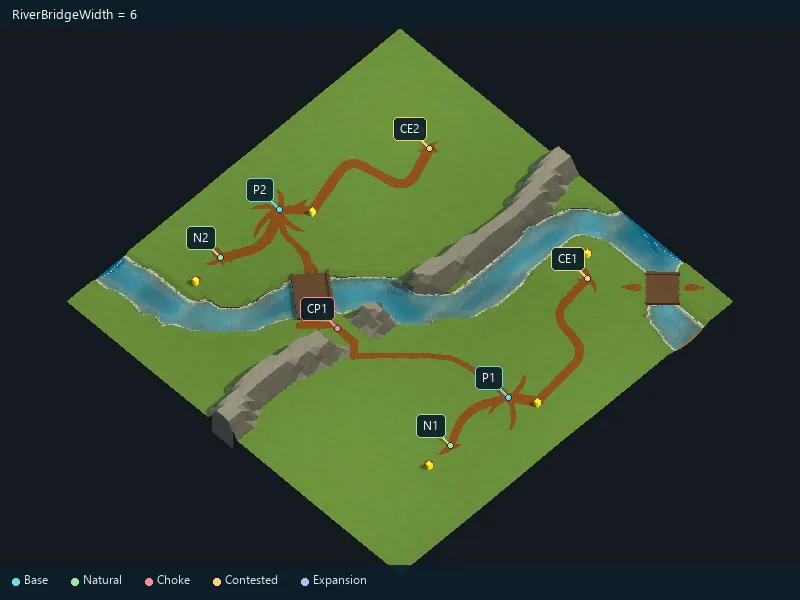
Width of river bridge crossings.
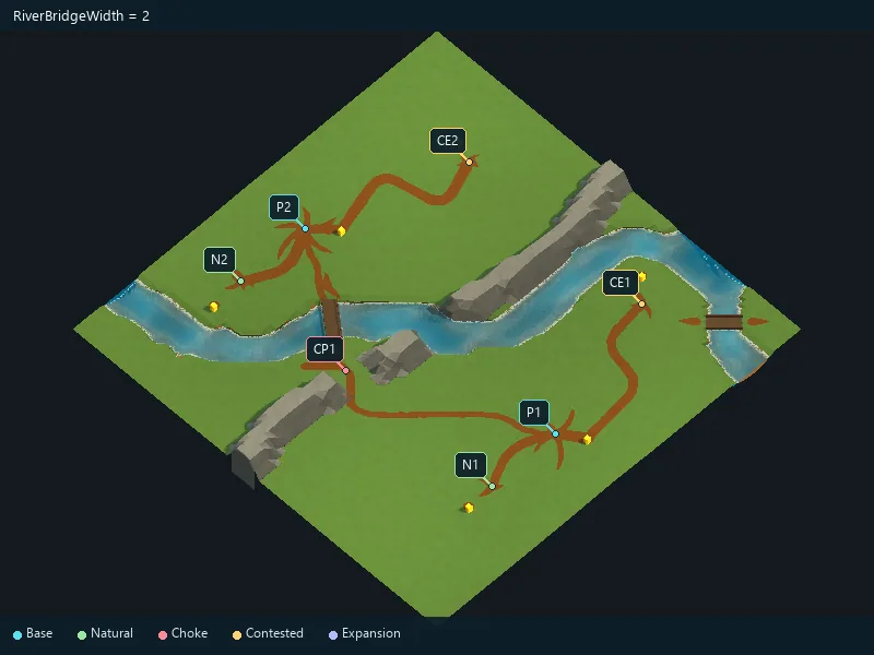
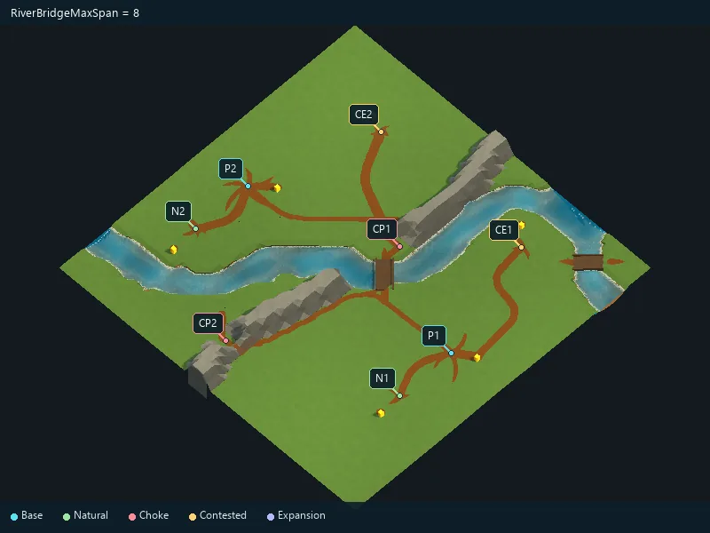
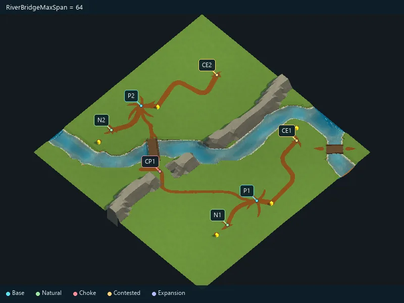
Maximum bridge crossing length.
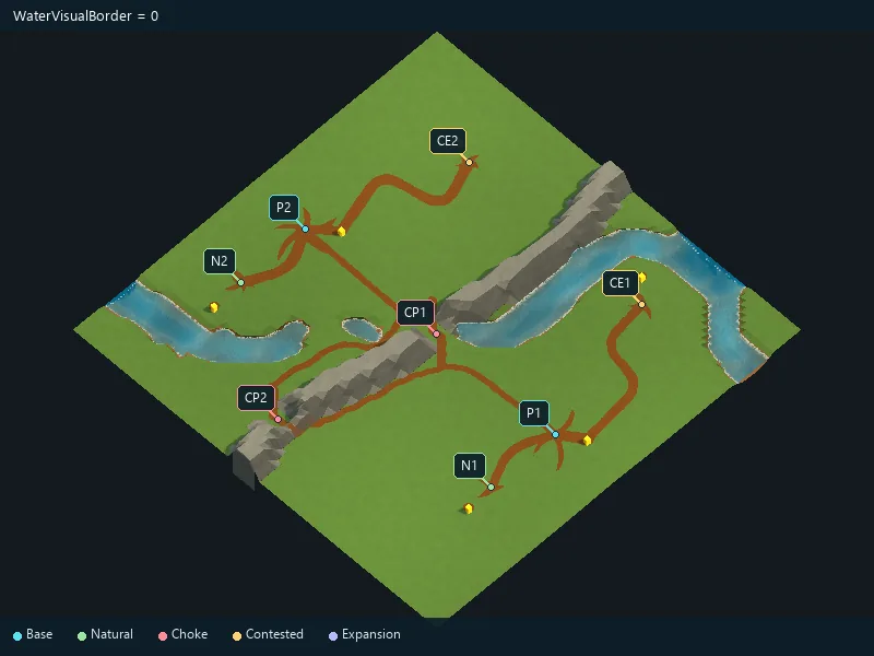
Visual overlap of water along the shore.
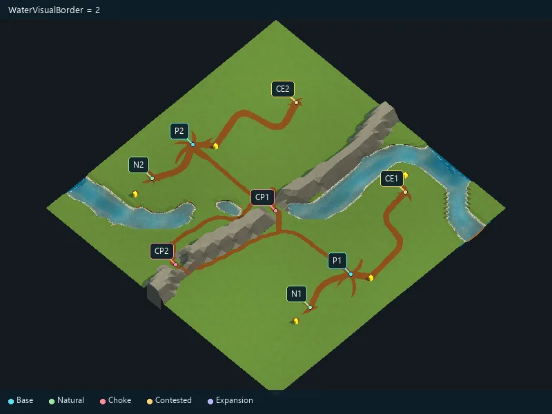
Reference seabed height.
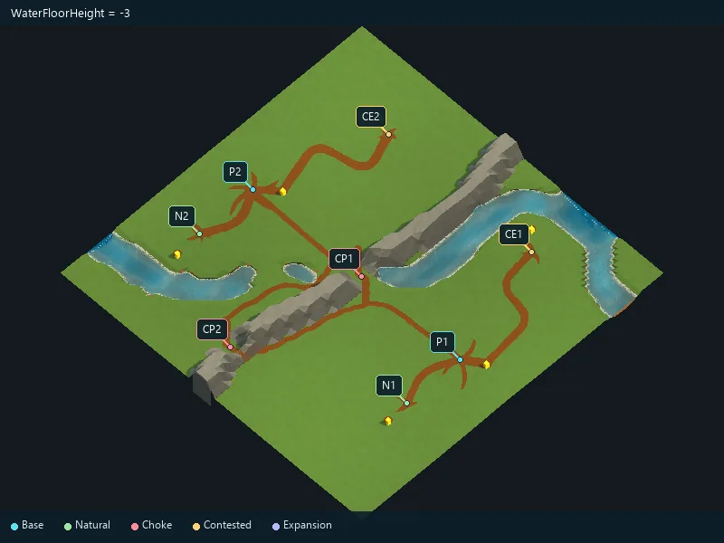
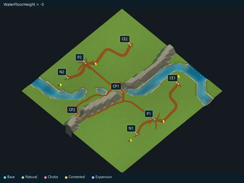
Shallow seabed level.
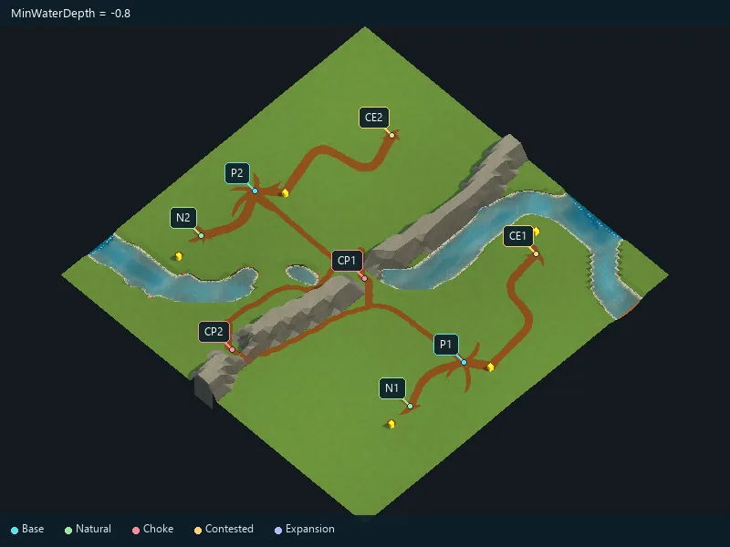
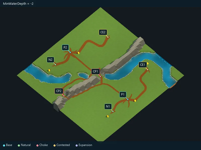
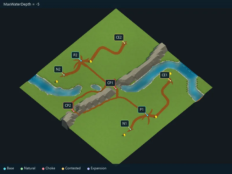
Deep seabed level.
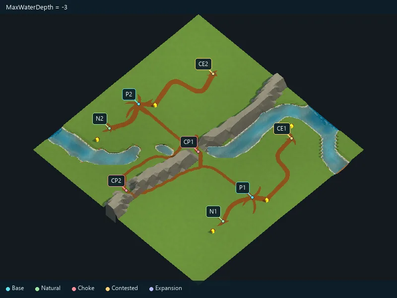
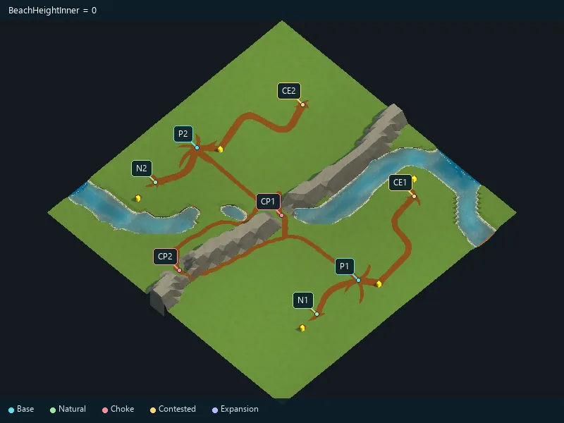
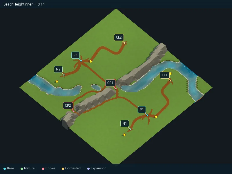
Height of the inner shoreline transition.
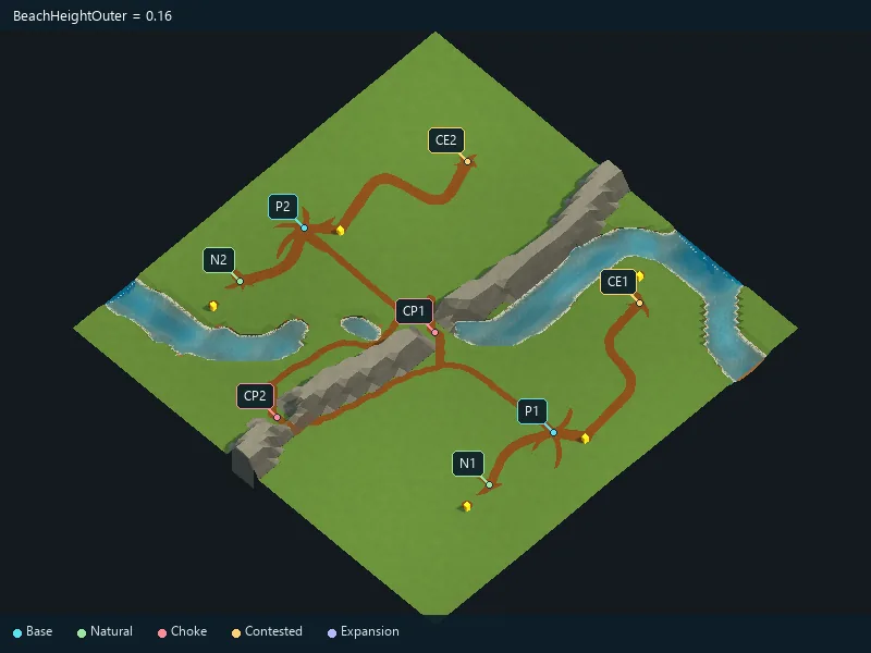
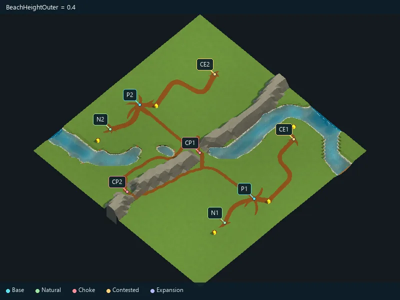
Height of the outer shoreline transition.
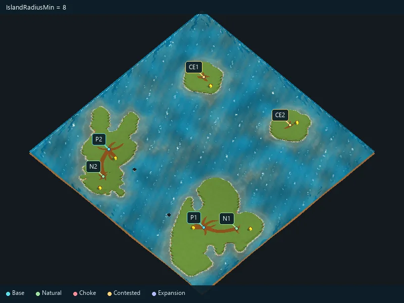
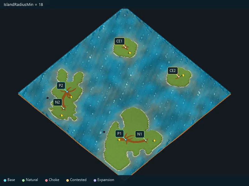
Minimum main-island radius; keep it no greater than the maximum.
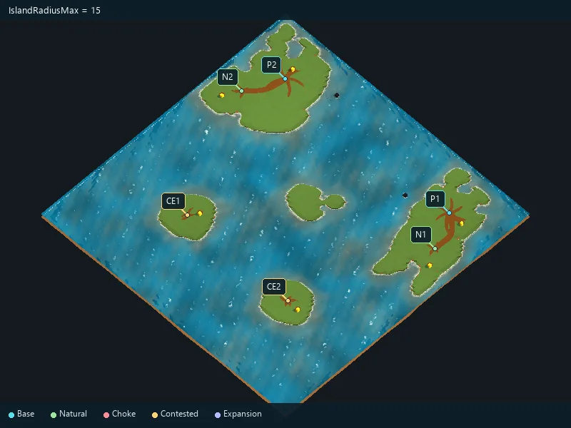
Maximum main-island radius.
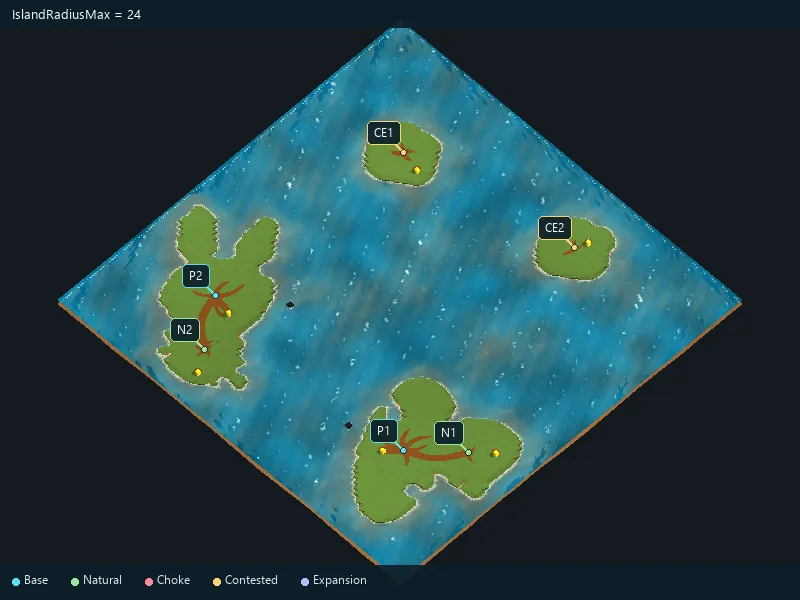
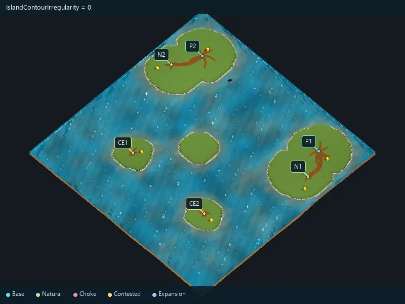
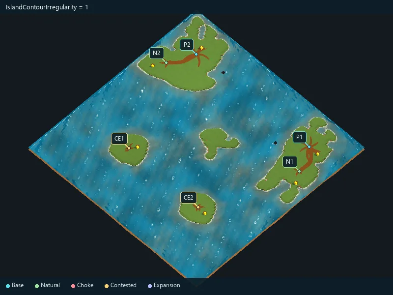
Irregularity of island coastlines.
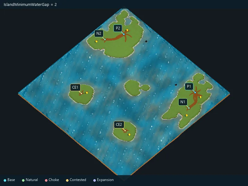
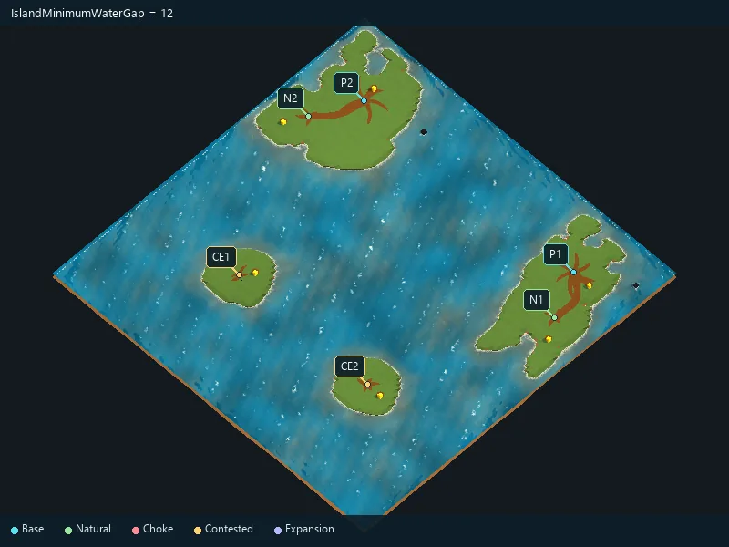
Requested water gap between separate islands.
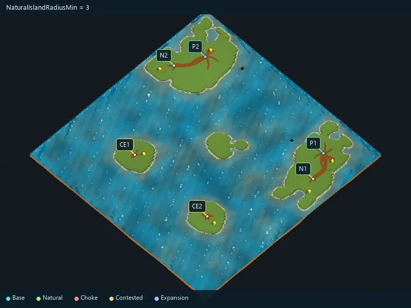
Minimum natural-expansion island radius.
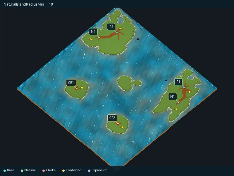
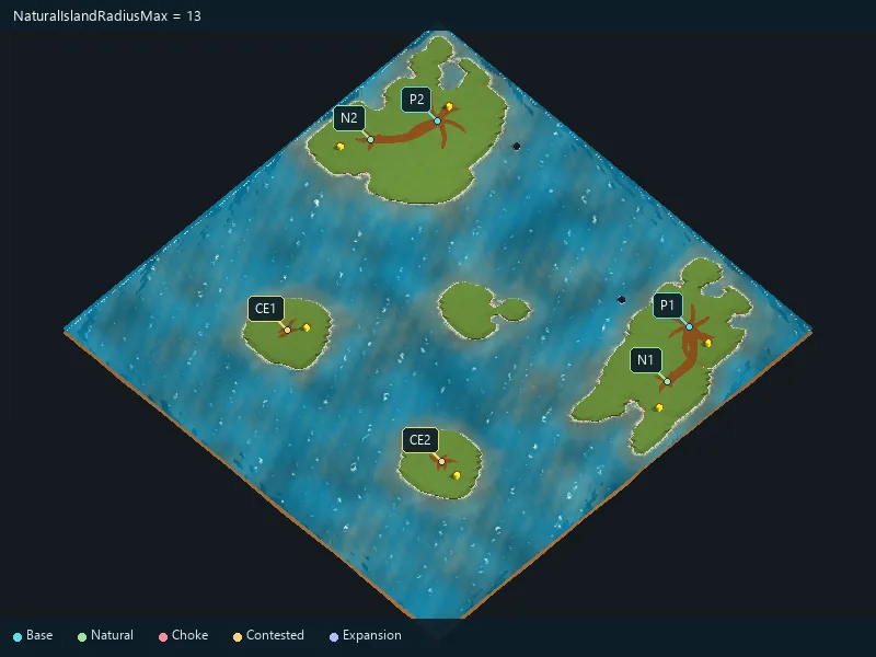
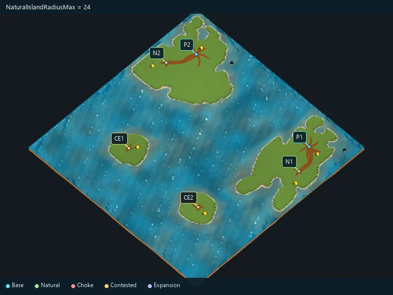
Maximum natural-expansion island radius.
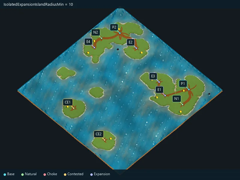
Minimum isolated-expansion island radius.
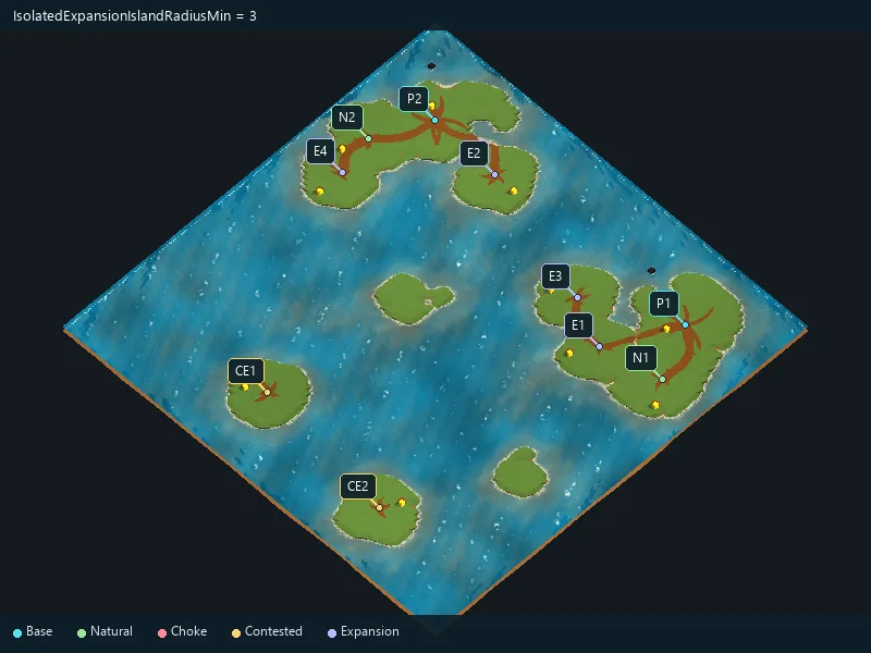
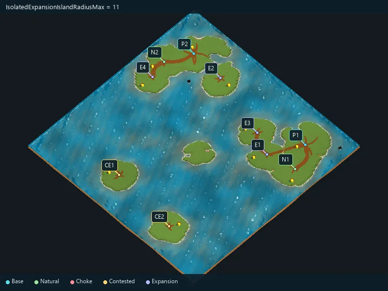
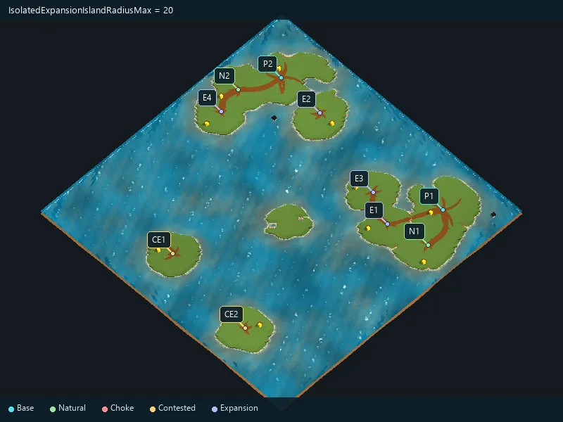
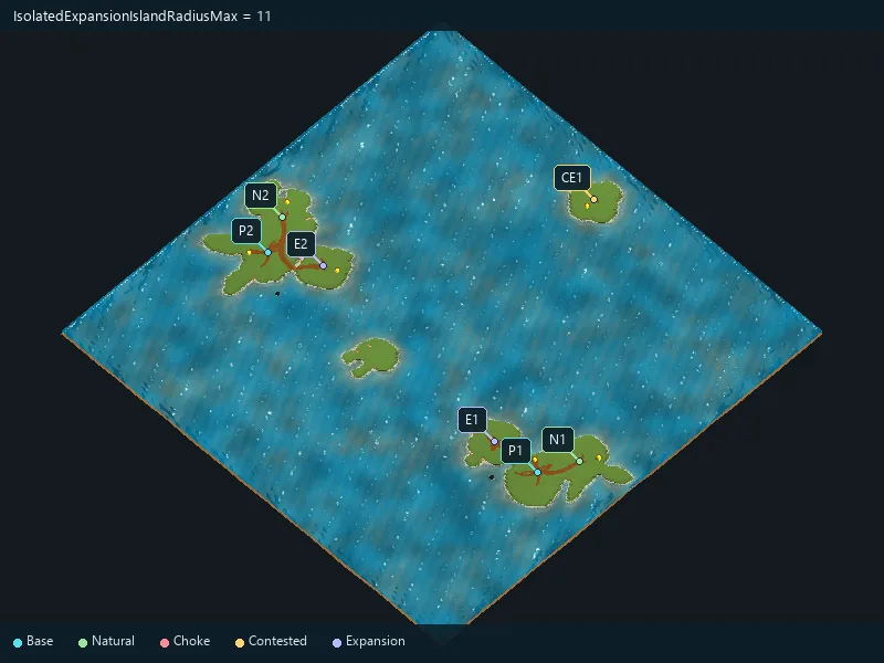
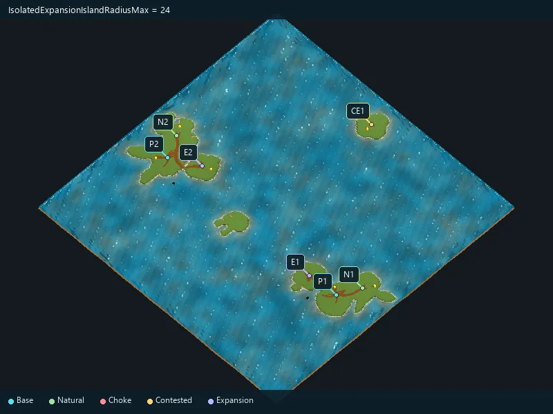
Maximum isolated-expansion island radius.
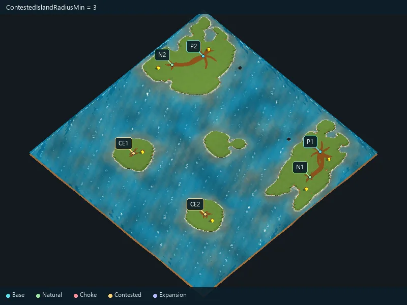
Minimum contested-island radius.
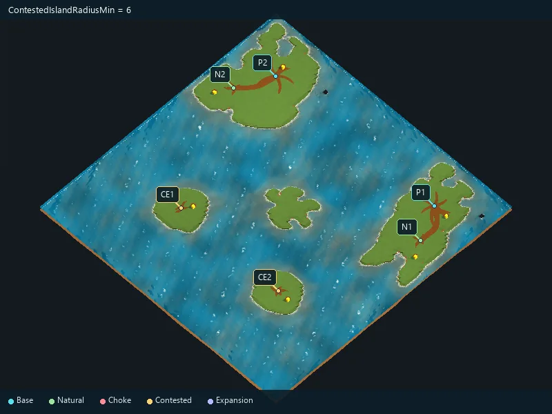
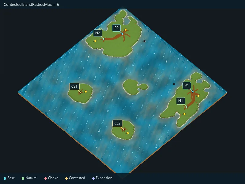
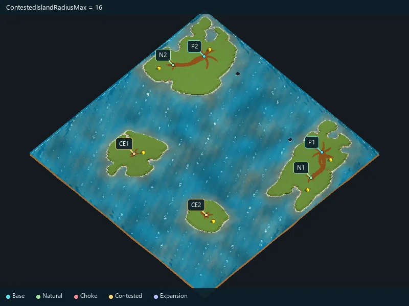
Maximum contested-island radius.
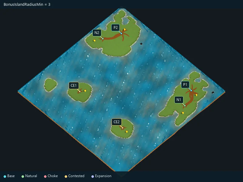
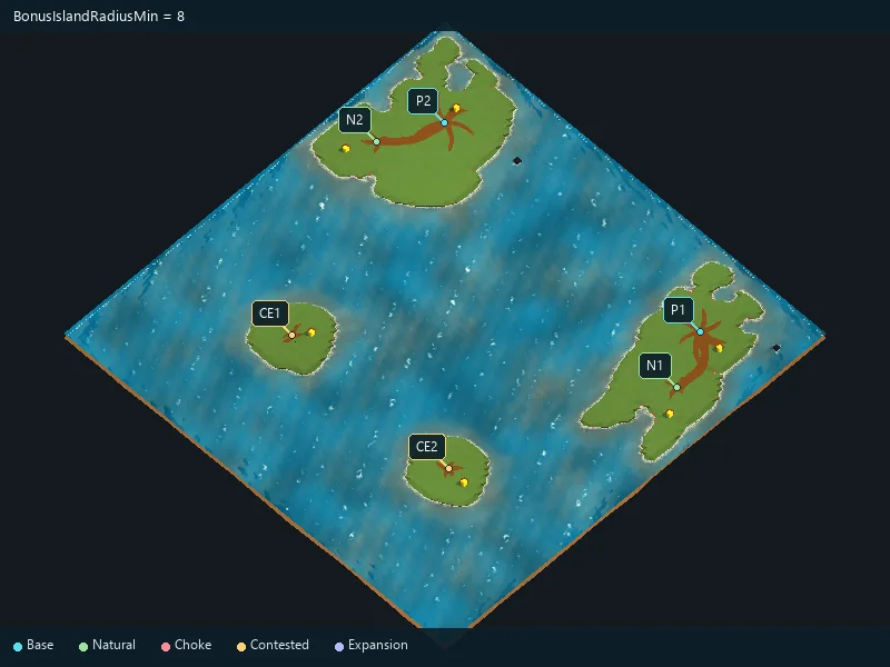
Minimum bonus-island radius.
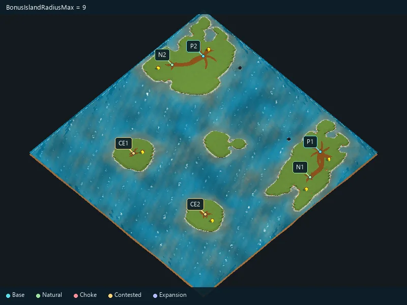
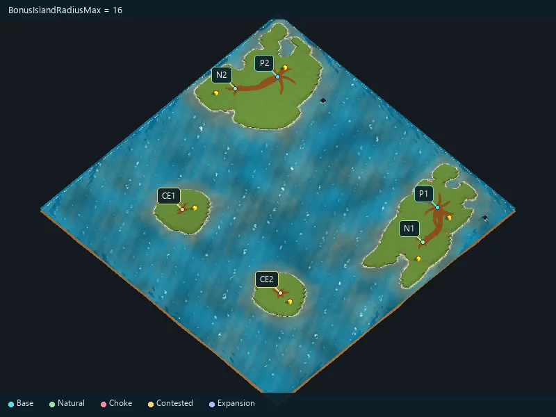
Maximum bonus-island radius.
Requested offshore oil fields for each player.
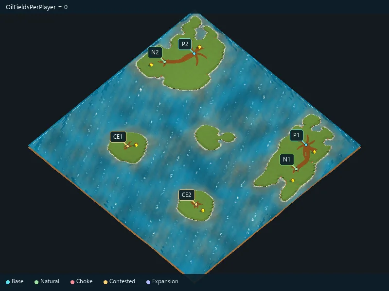
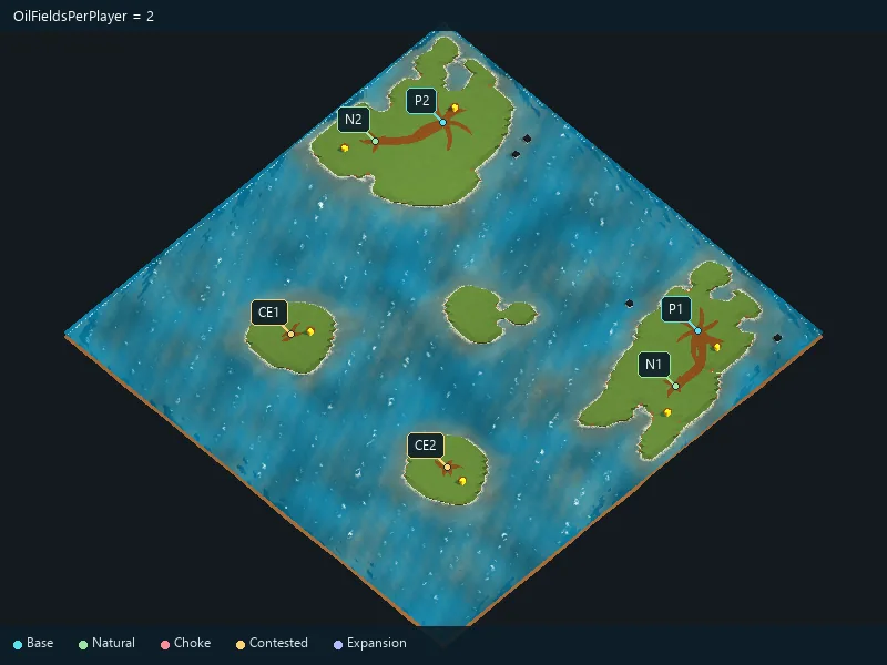
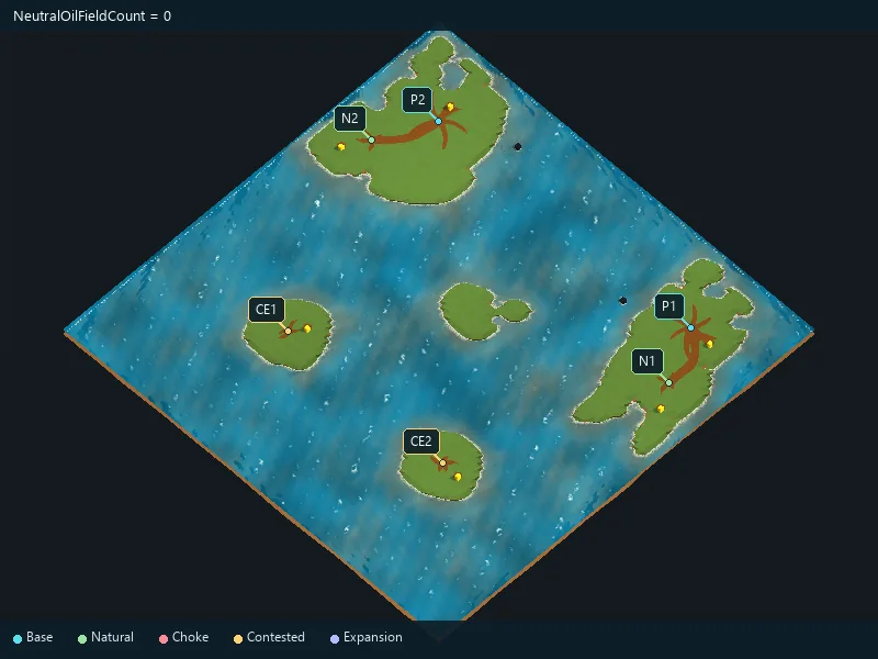
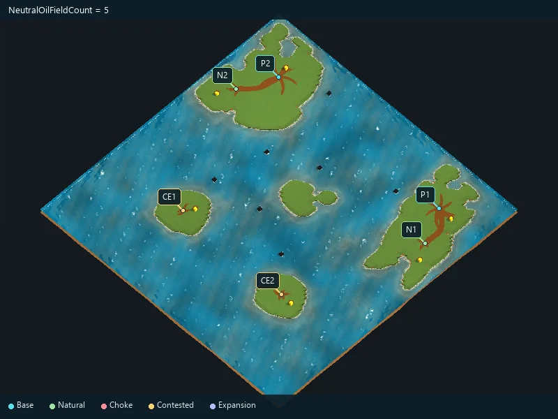
Requested neutral offshore oil fields.
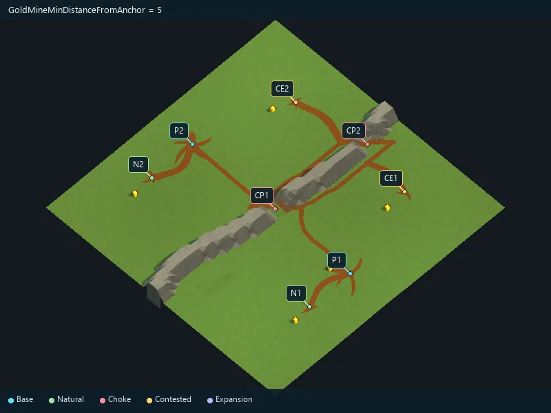
Minimum requested distance of gold from its location.
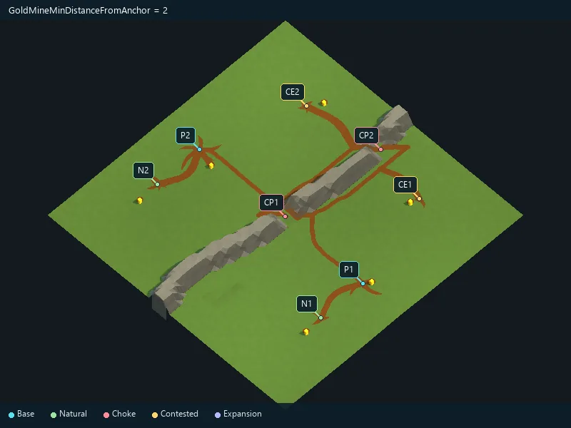
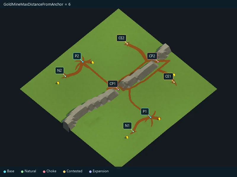
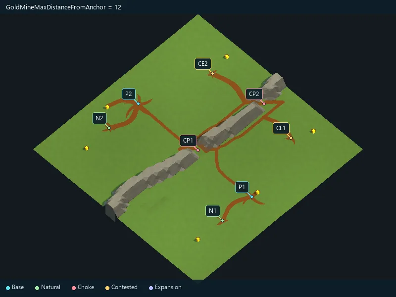
Maximum requested distance of gold from its location.
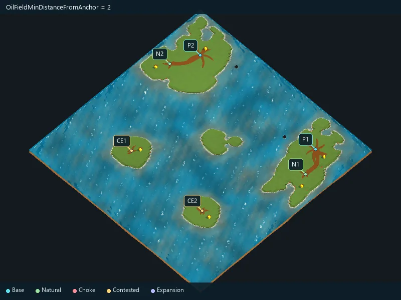
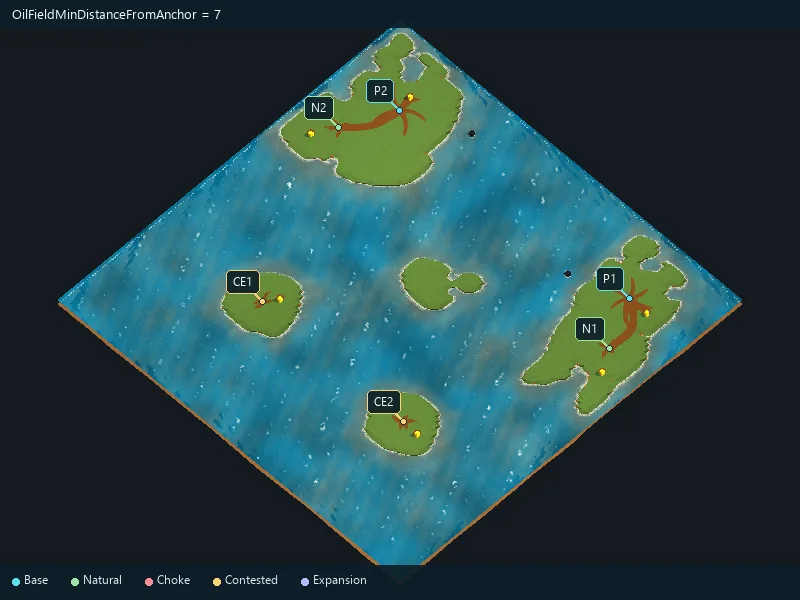
Minimum requested distance of oil from its location.
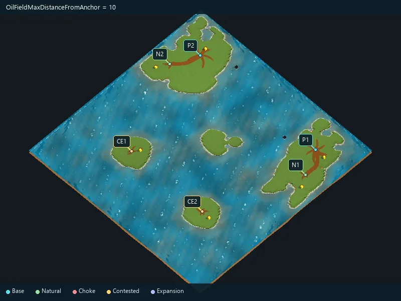
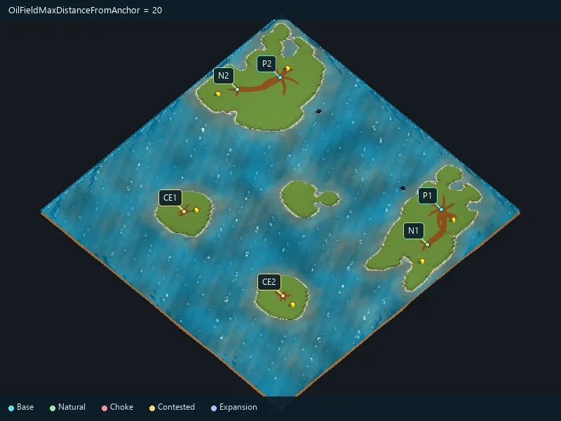
Maximum requested distance of oil from its location.
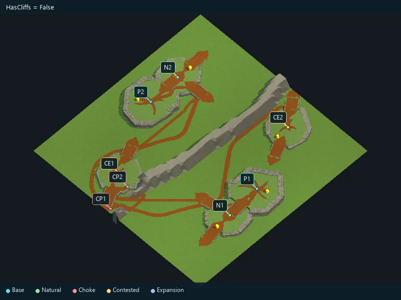
Enable cliff details where applicable.
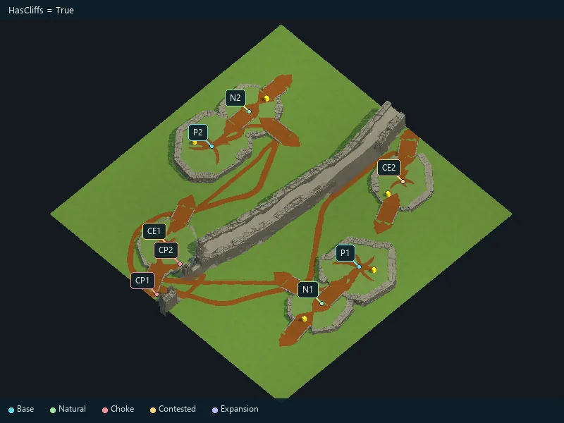
Horizontal position of cliff details relative to the terrain edge.
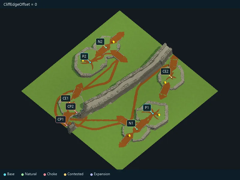
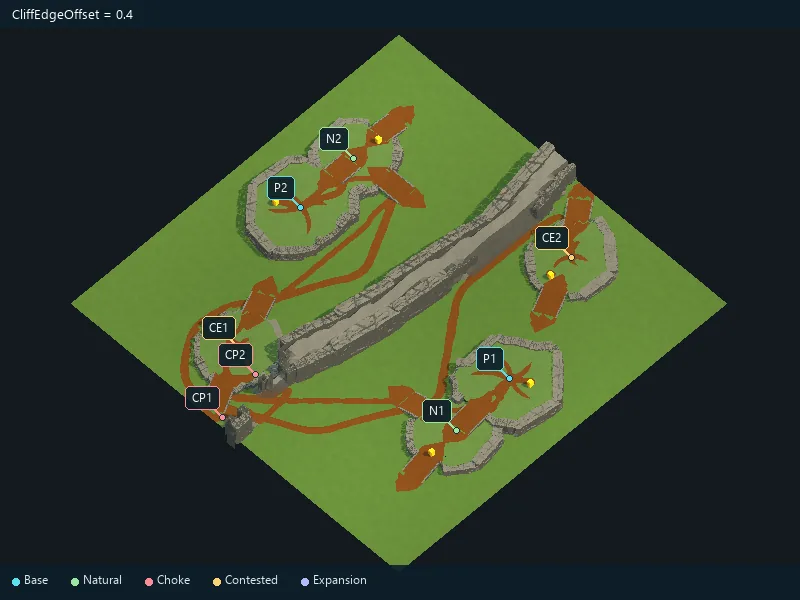
Vertical position of cliff details.
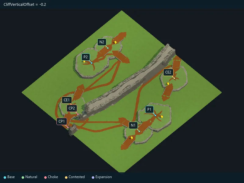
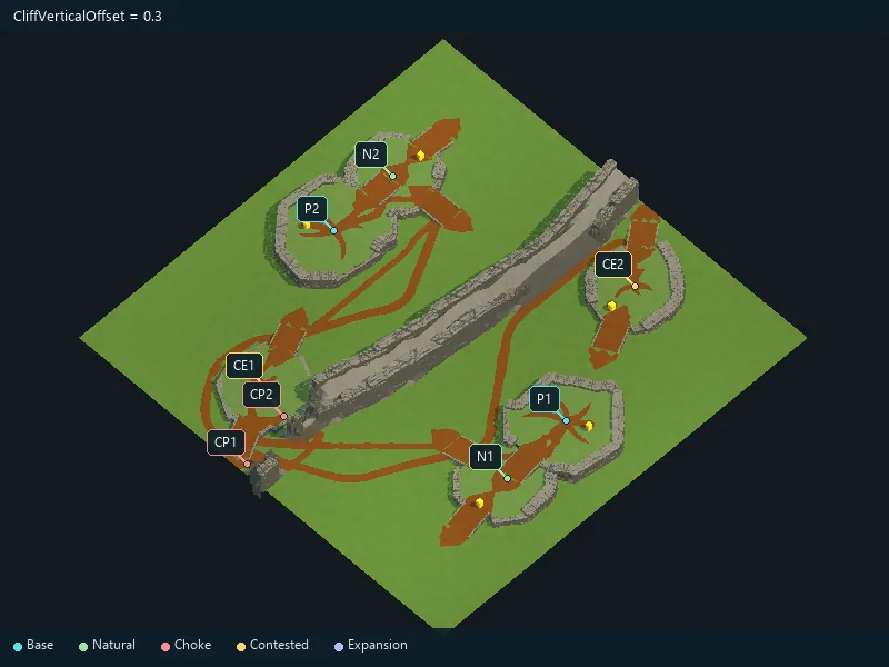
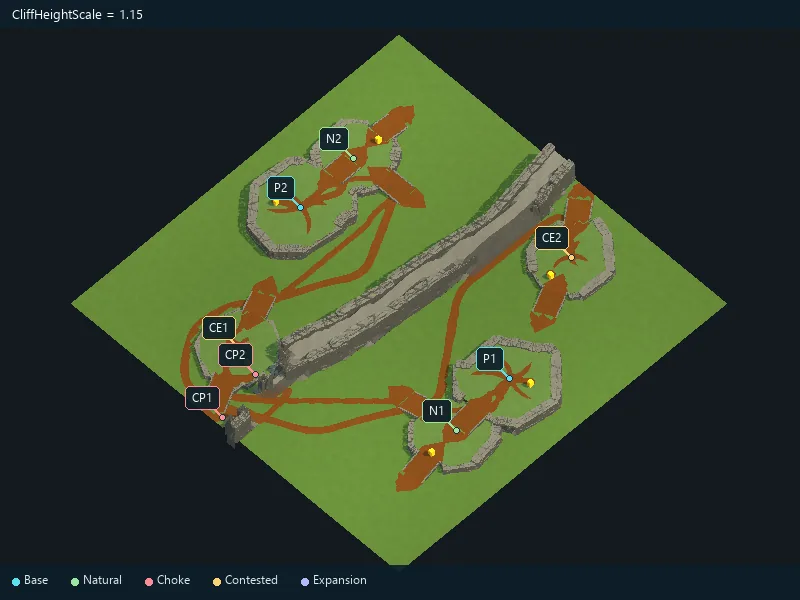
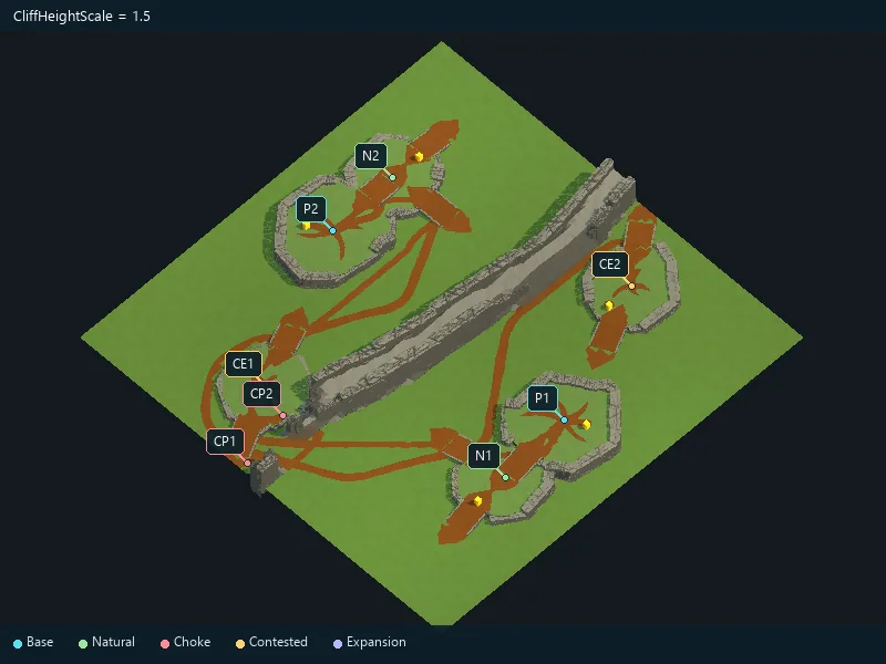
Vertical size of cliff details.
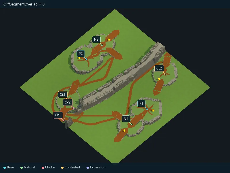
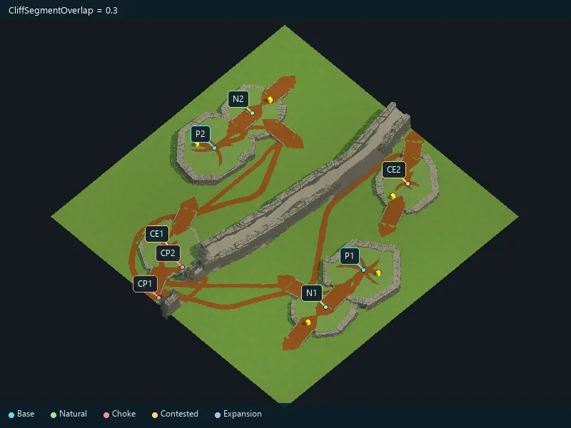
Overlap between neighboring cliff details.
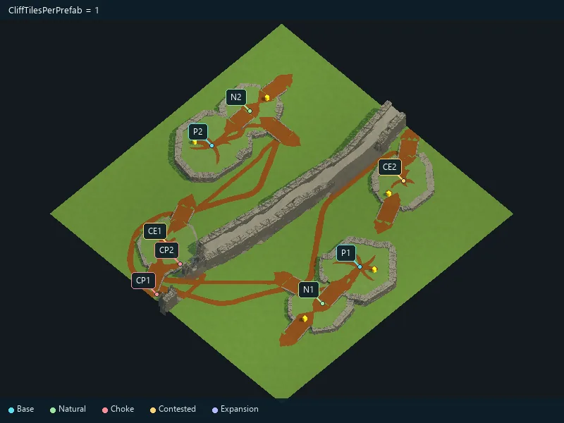
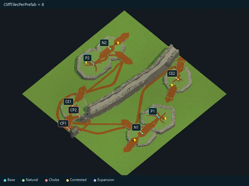
Preferred length covered by each cliff piece.
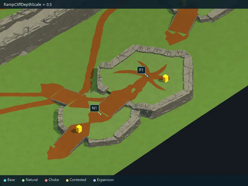
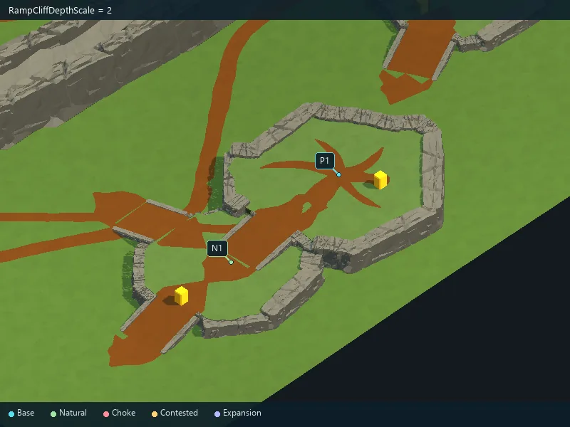
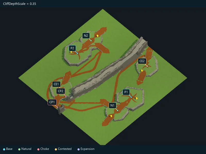
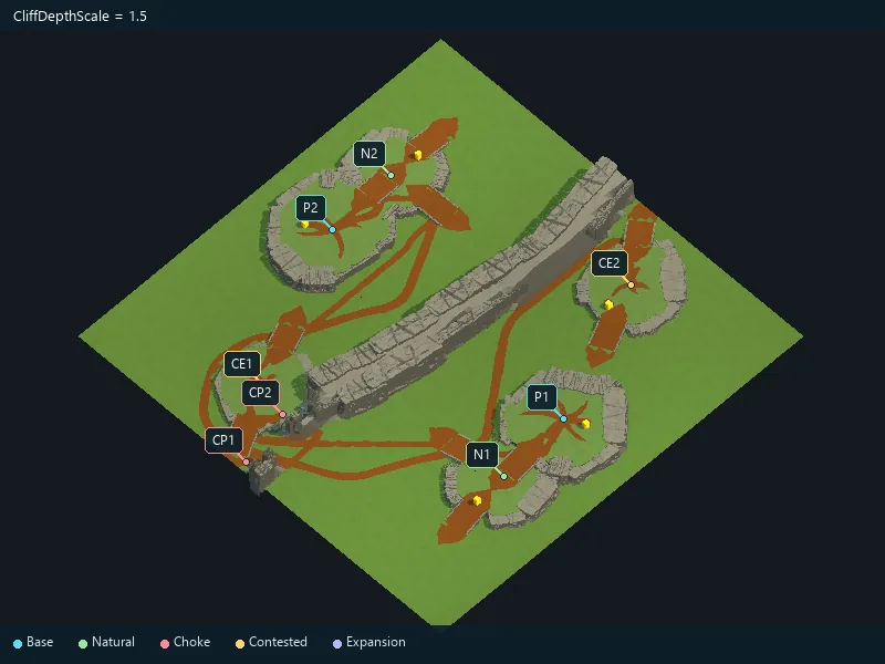
Depth of cliff details.
Thickness of rocky ramp borders.
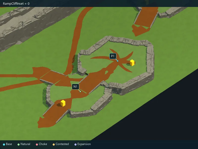
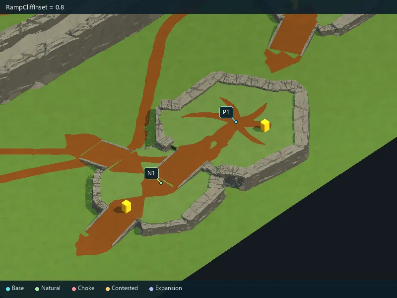
Fit of rocky borders along ramp edges.
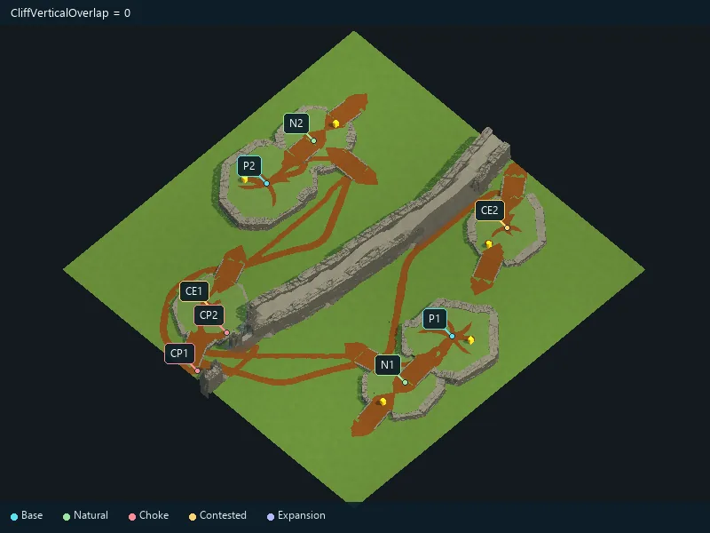
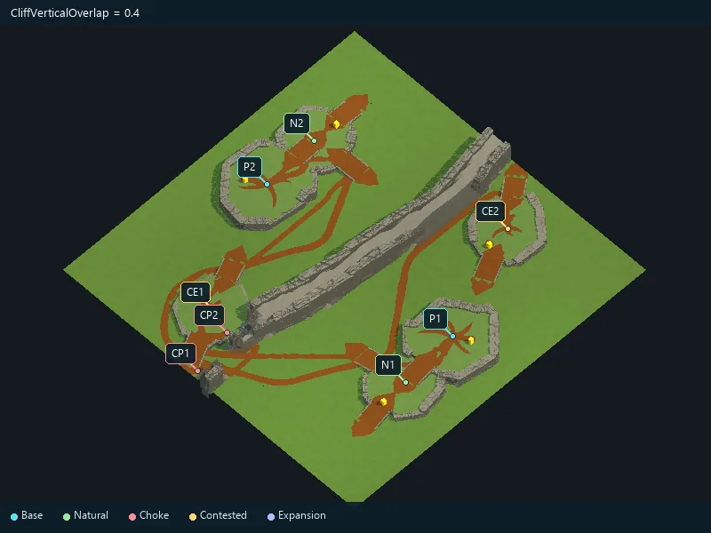
Vertical overlap of cliffs with the terrain.
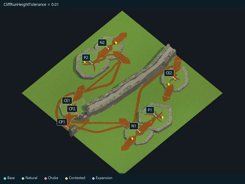
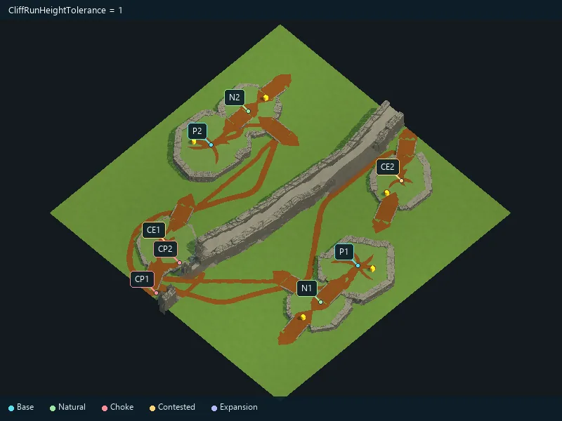
Tolerance for fitting cliff pieces to varying heights.
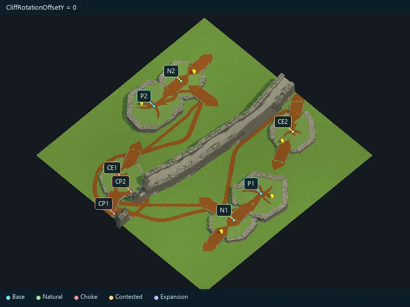
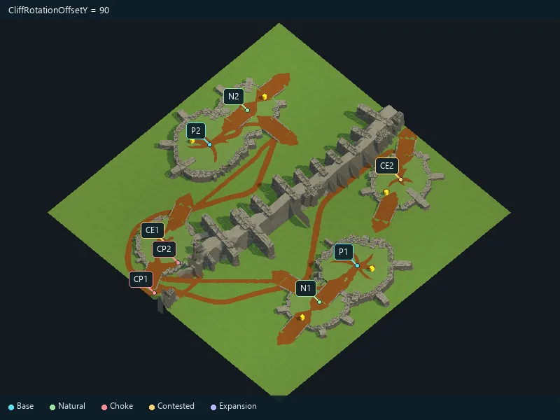
Horizontal rotation adjustment for cliff prefabs.
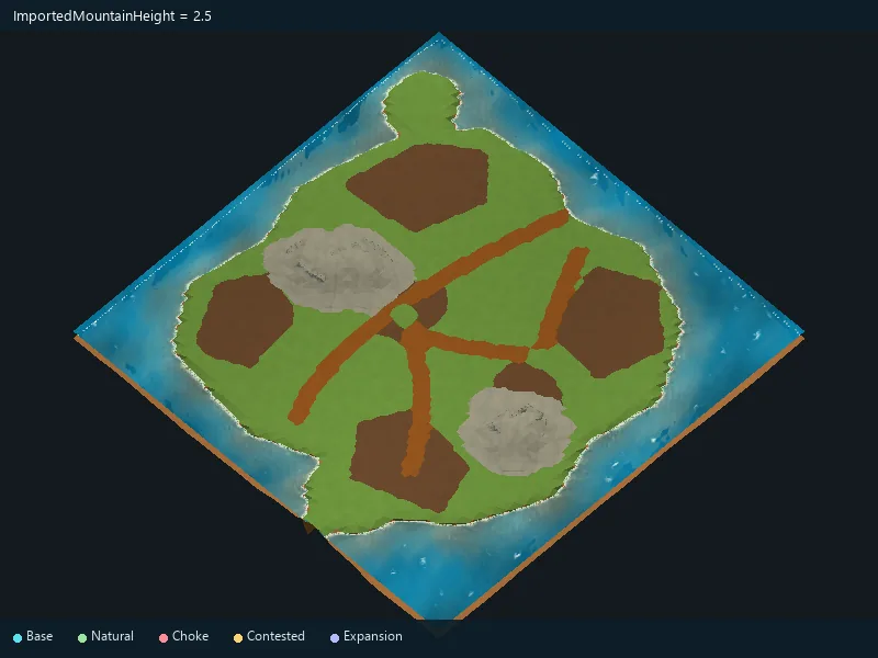
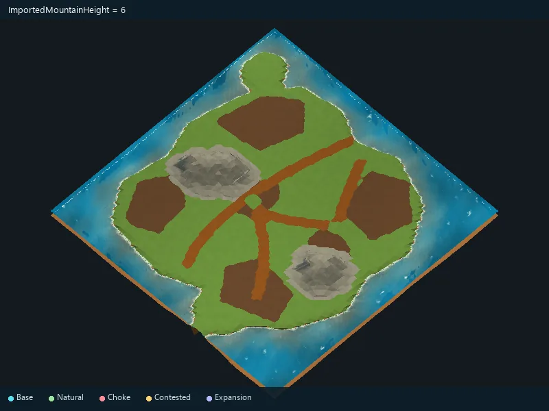
Height of mountains drawn in the source image.
Enable mountains.
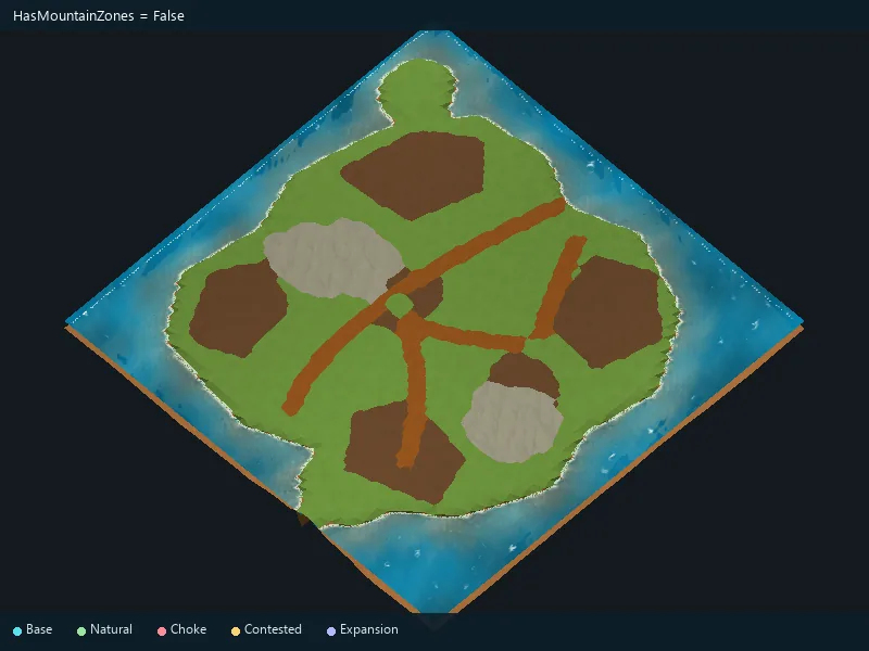
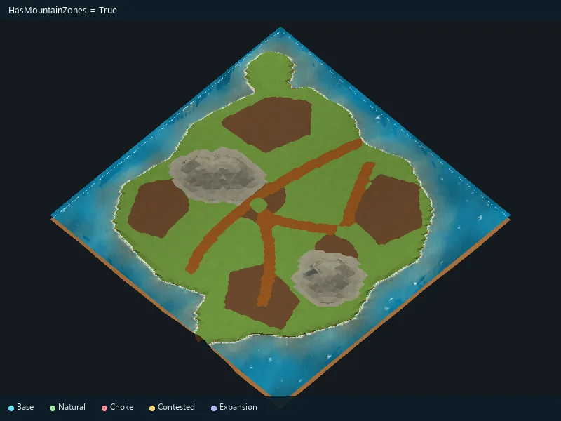
Orientation of the imported color image.
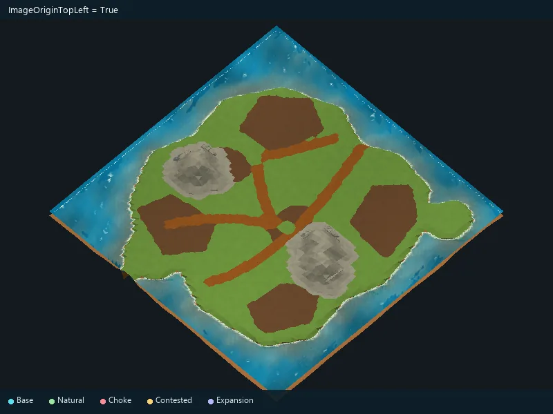
Simplify small color variations in an imported map.
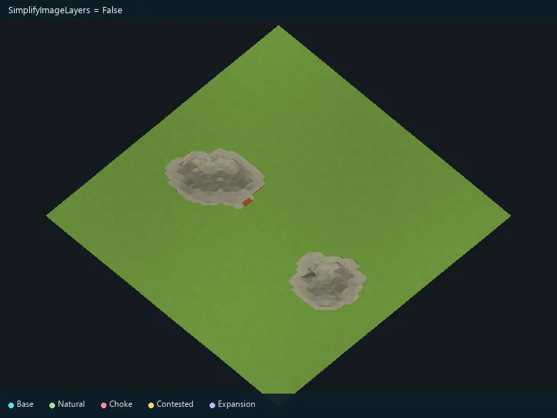
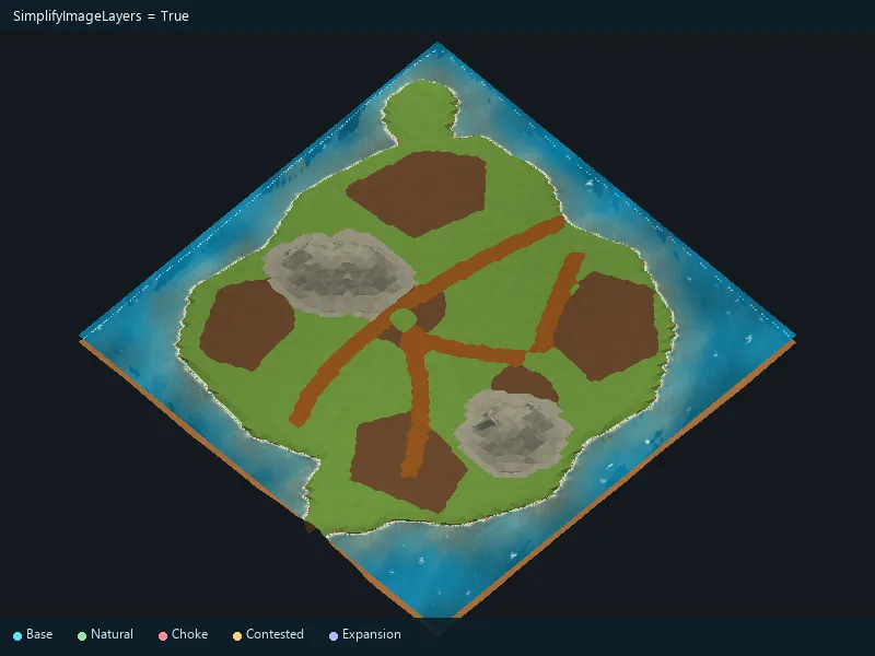
Soften the outlines of imported terrain areas.
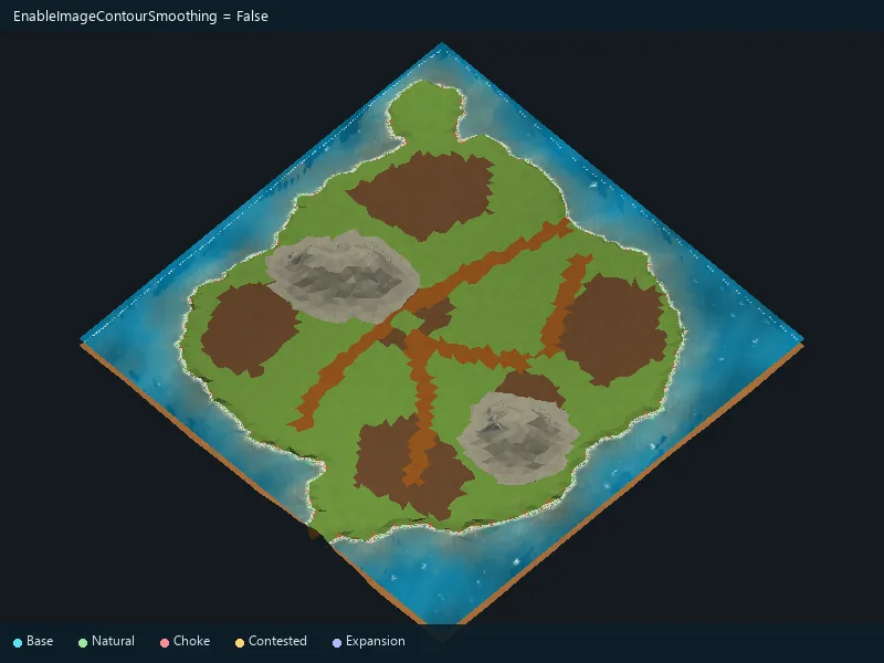
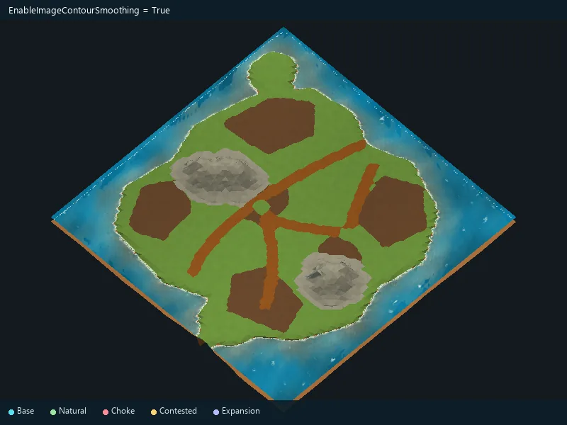
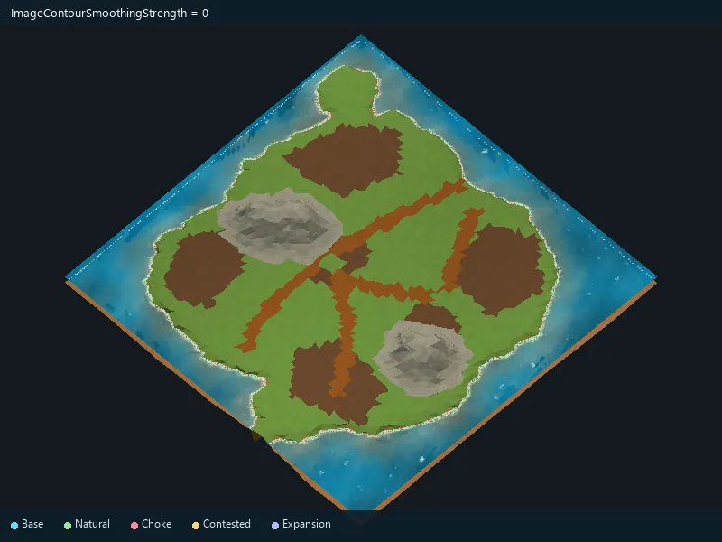
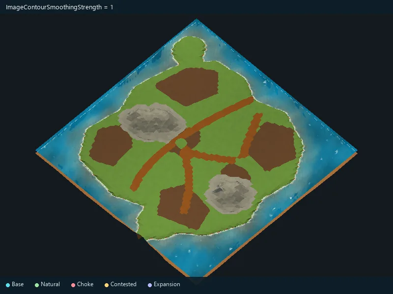
Strength of imported contour smoothing.
Add subtle relief to imported ground.
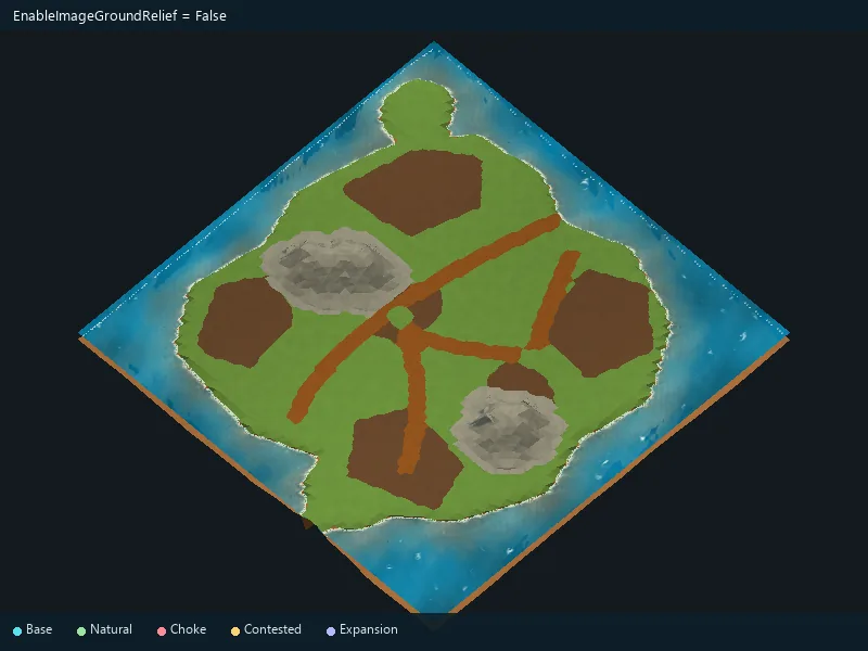
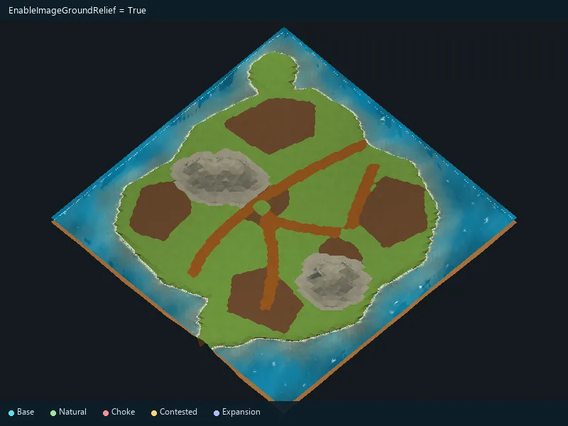
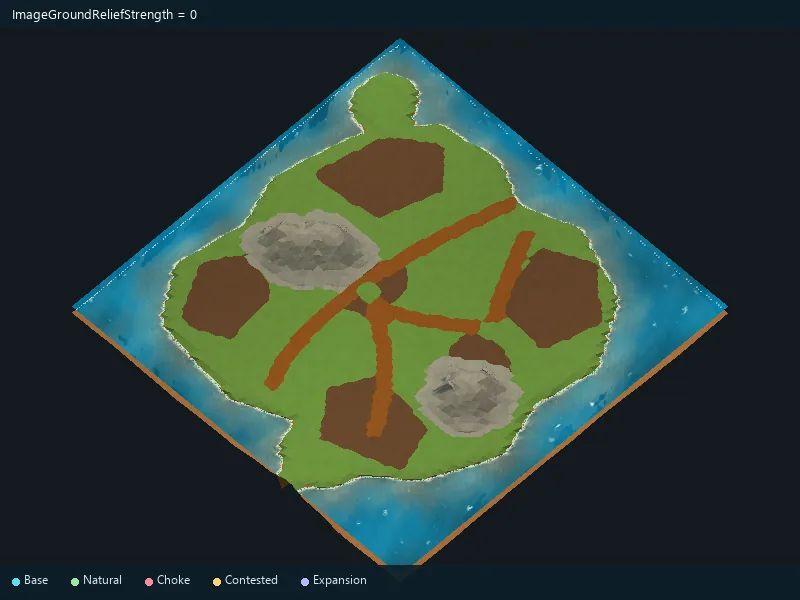
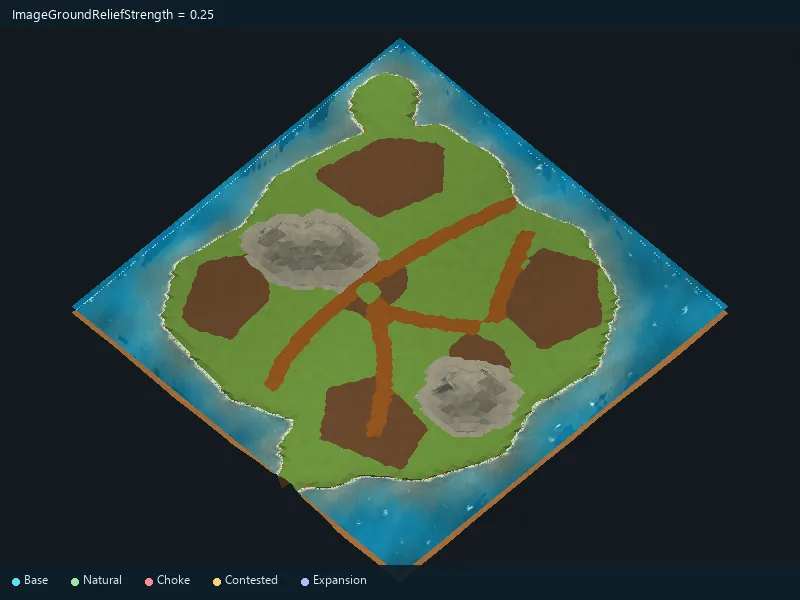
Height of imported ground relief.
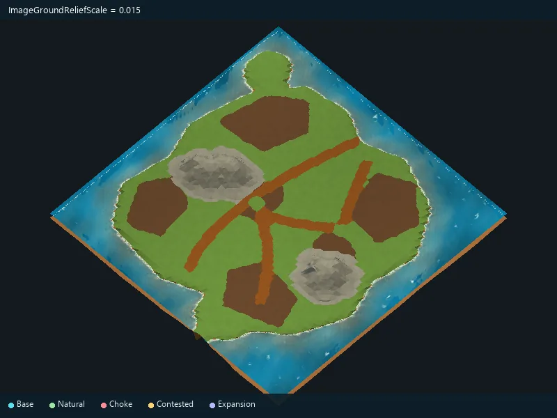
Size of imported ground relief variations.
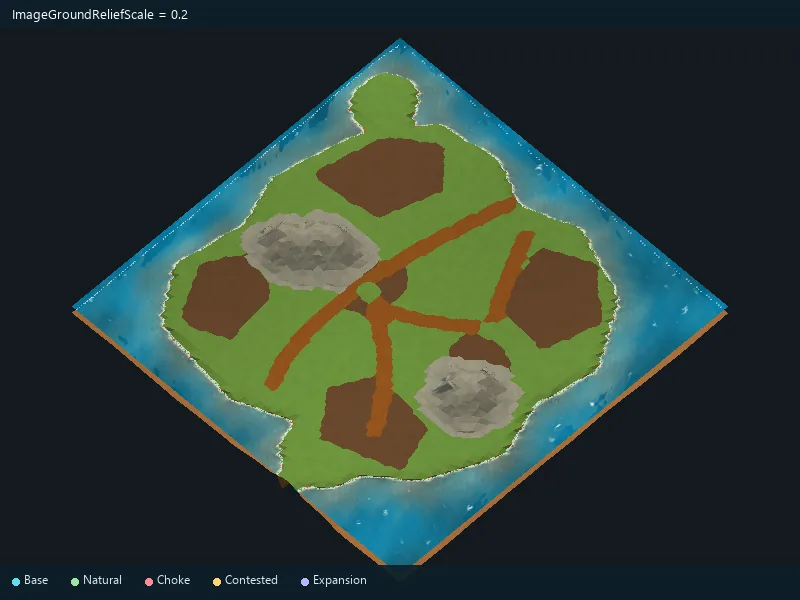
Clean up small terrain-type irregularities in an image.
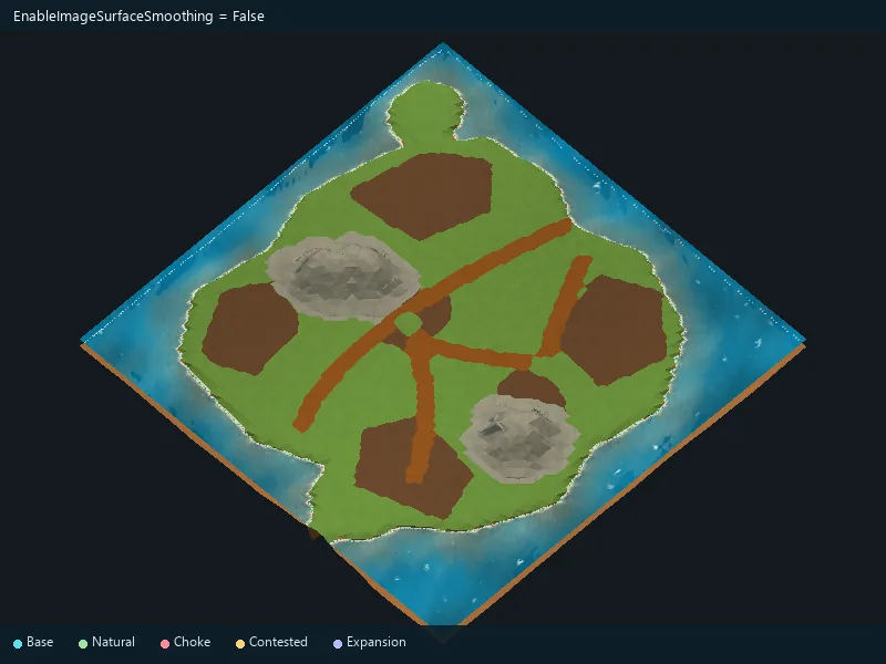
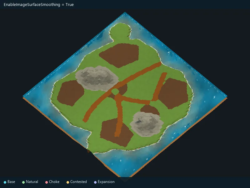
Amount of terrain-type cleanup.
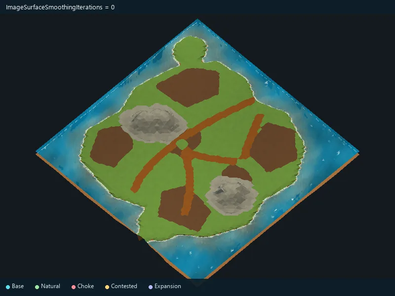
Use resource markers drawn in the source image.
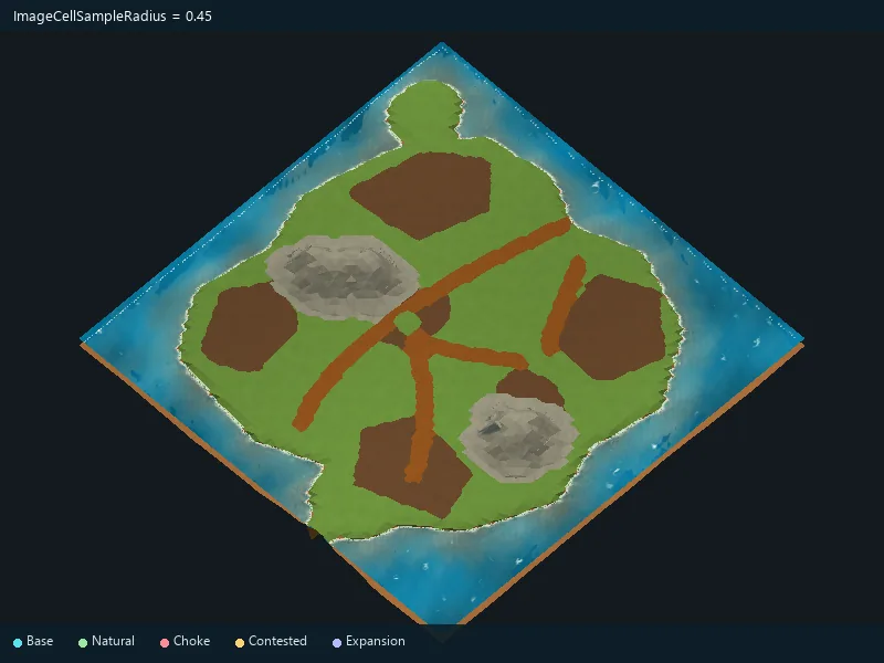
Area considered when interpreting image colors.
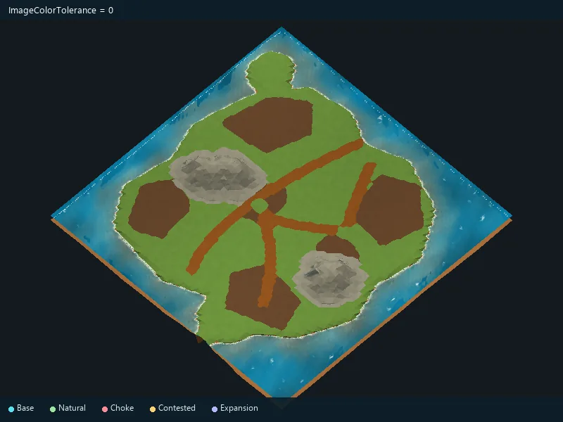
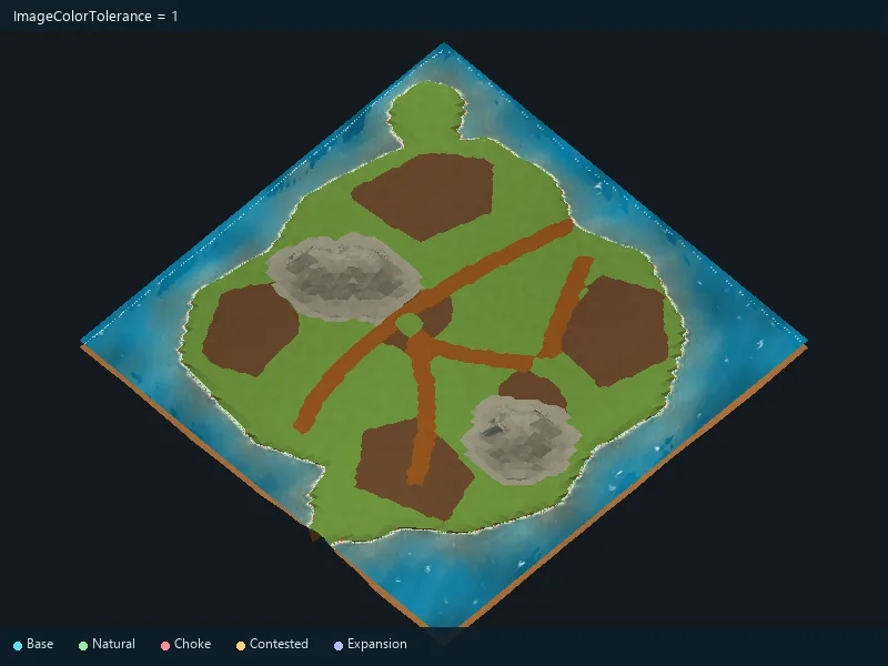
Allowed difference between image and palette colors.
Sensitivity to terrain colors in the image.
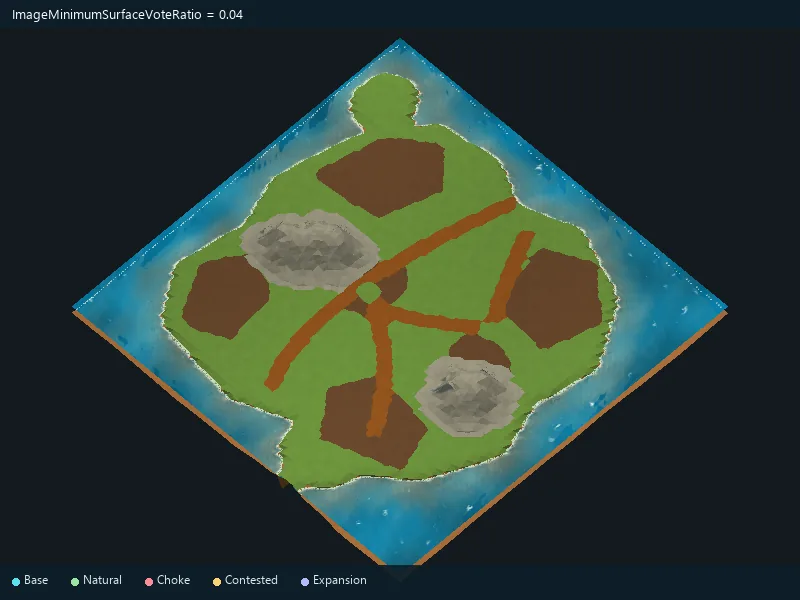
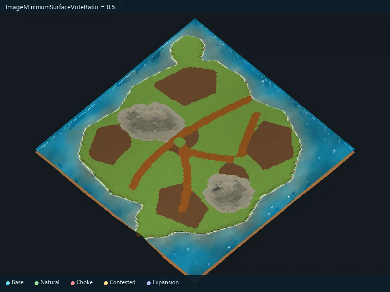
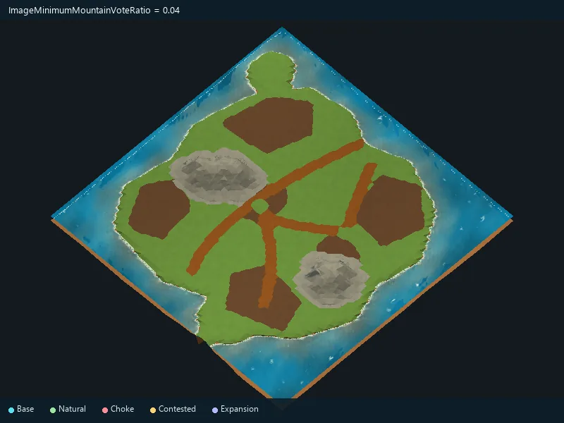
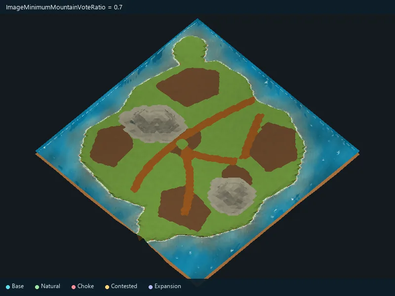
Sensitivity to mountain colors in the image.
Choose an overhead or isometric screenshot.
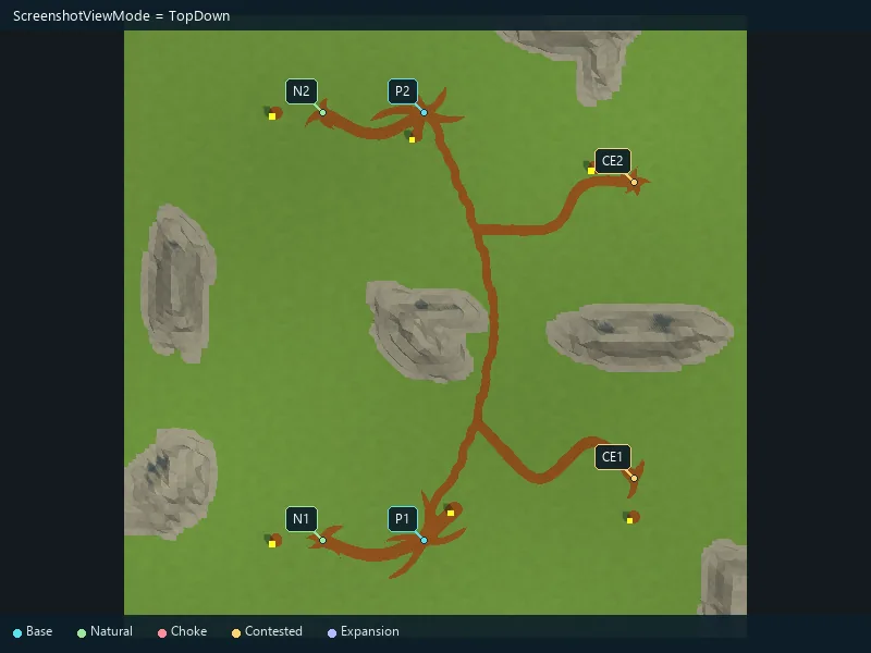
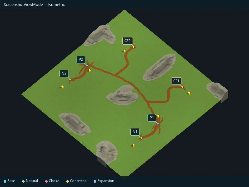
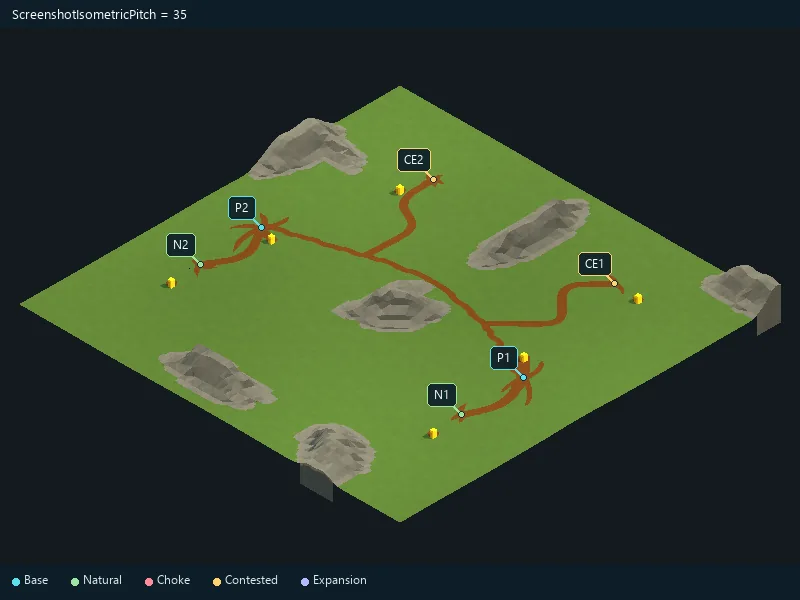
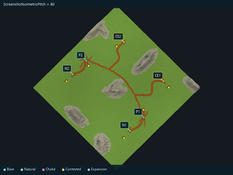
Vertical viewing angle for isometric screenshots.
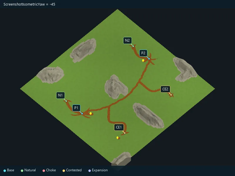
Horizontal viewing angle for isometric screenshots.
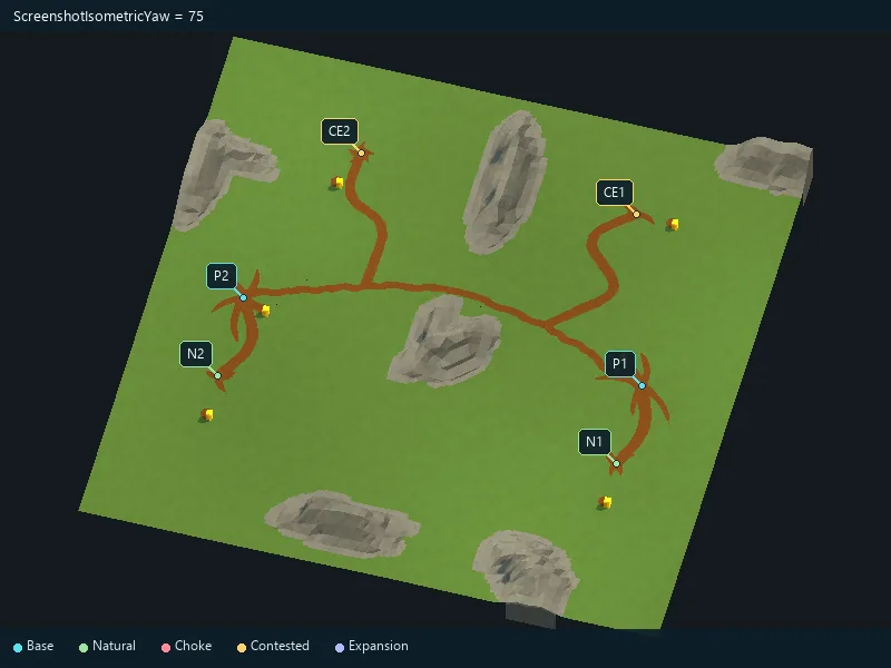
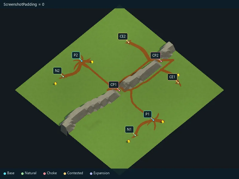
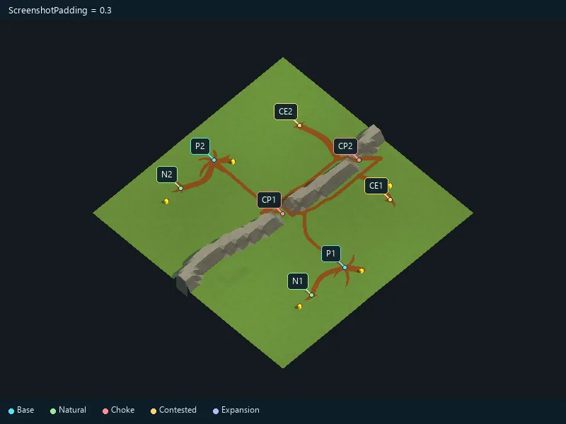
Space around the map in screenshots.
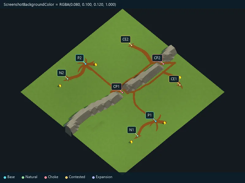
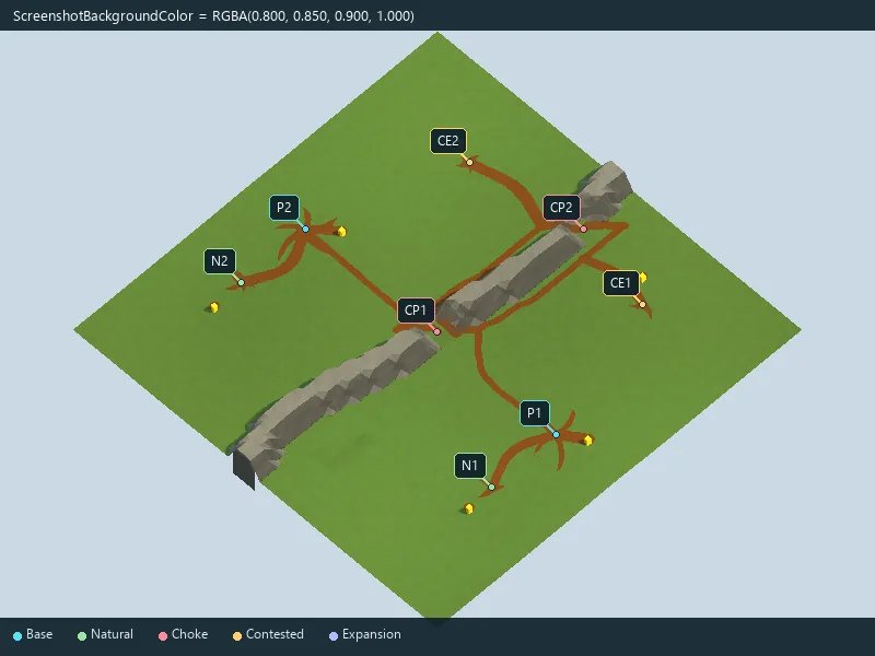
Screenshot background color.
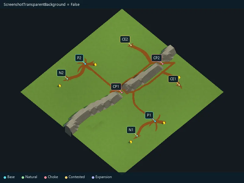
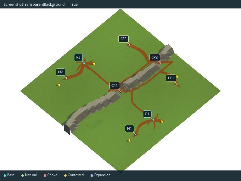
Use a transparent screenshot background.
Request an additional exterior access for natural expansions.
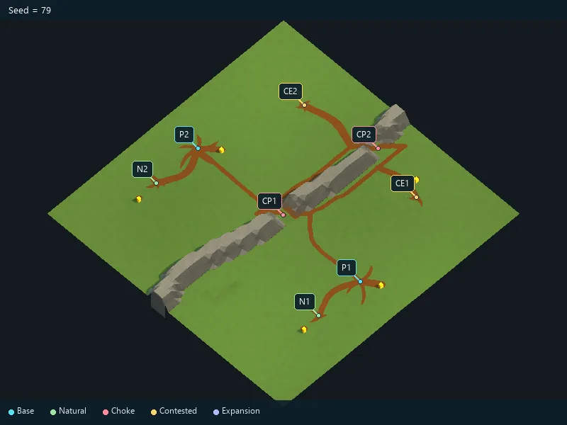
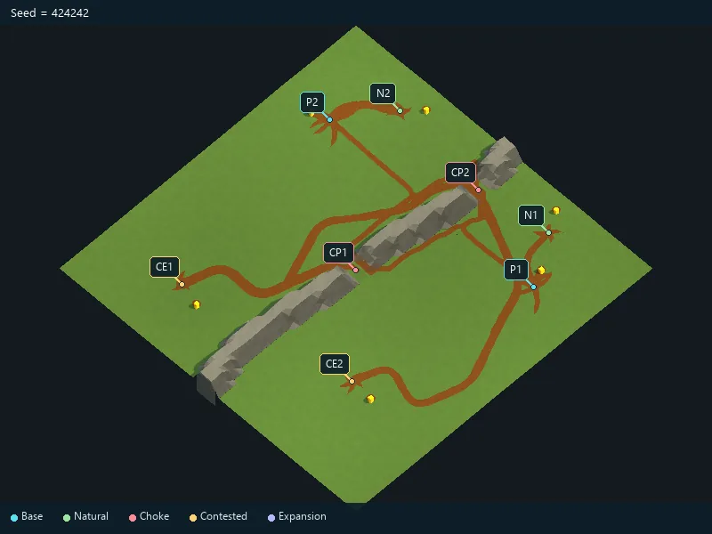
Fixed generation seed for repeatable settings.
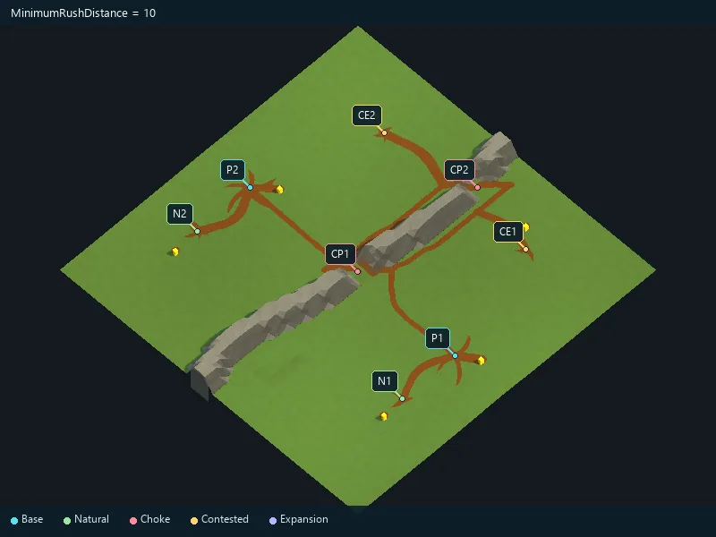
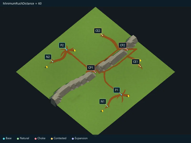
Requested separation between opposing starting areas.
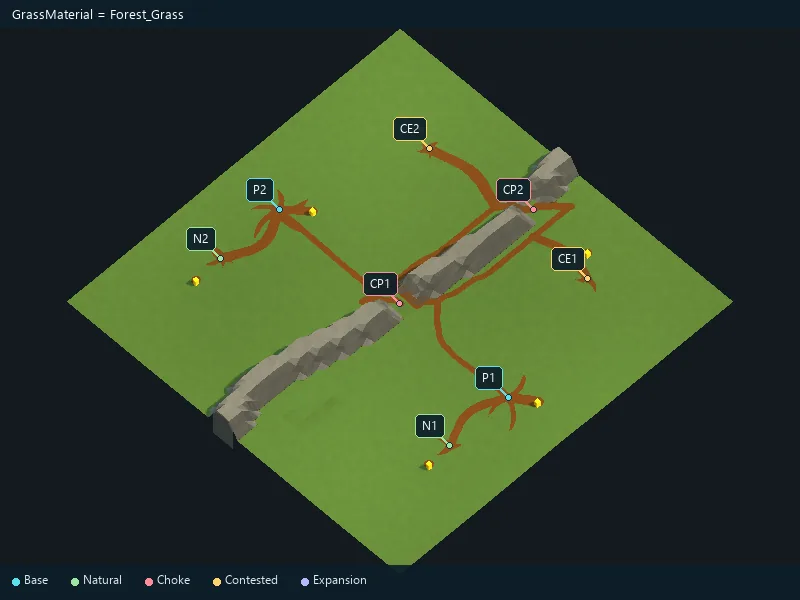
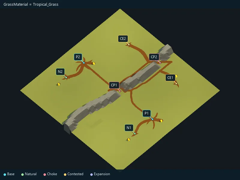
Material for grassy ground.
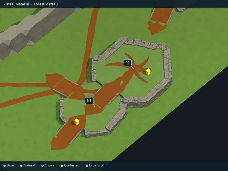
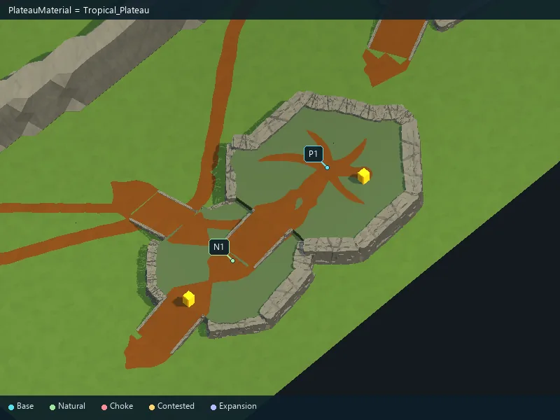
Material for plateau tops.
Material for paths.
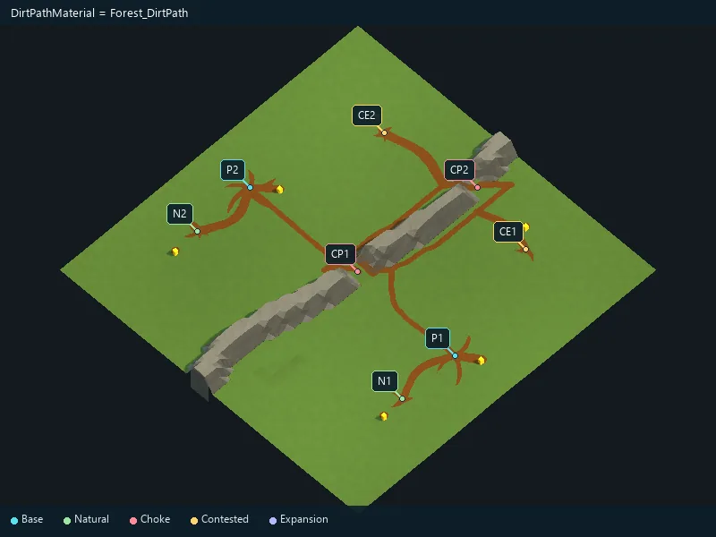
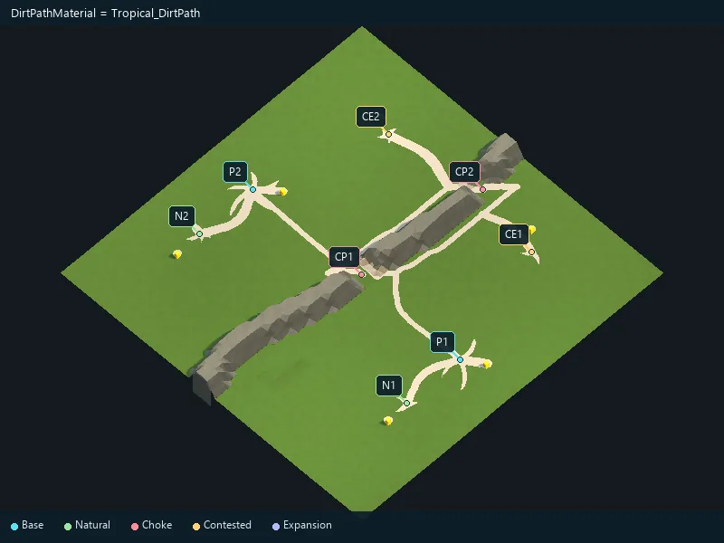
Material for forest ground.
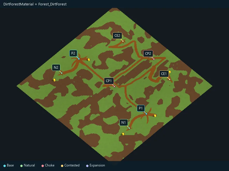
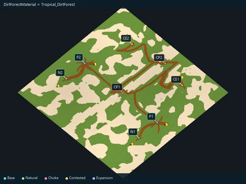
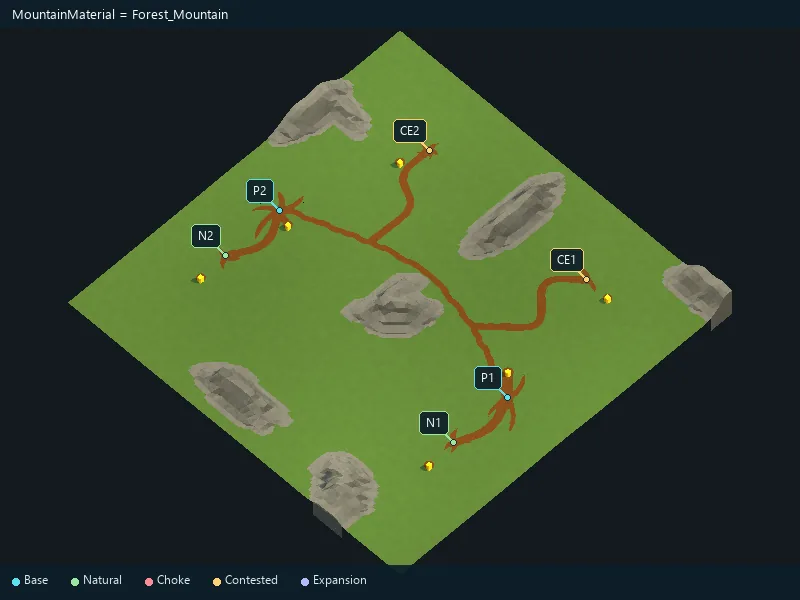
Material for mountain terrain.
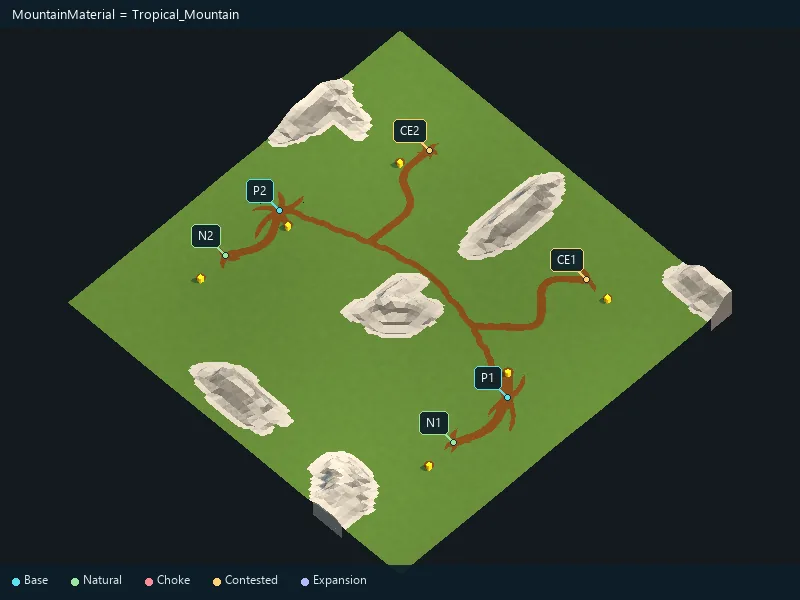
Material for the seabed.
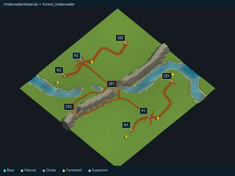
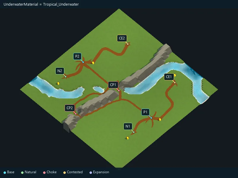
Water appearance; use a compatible supplied style or custom material.
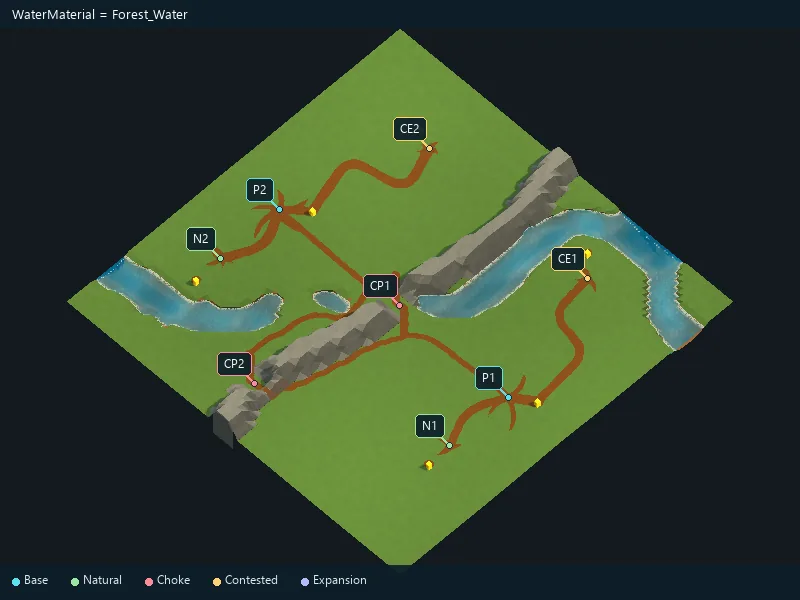
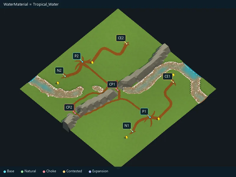
Maximum isolated-expansion island radius.
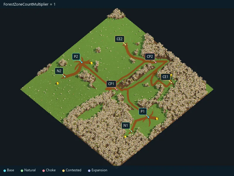
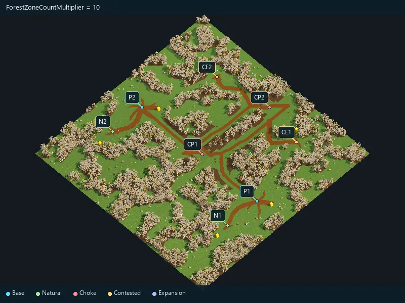
Few broad woods or more numerous small groves.
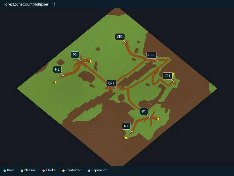
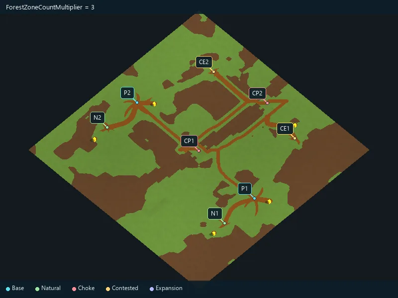
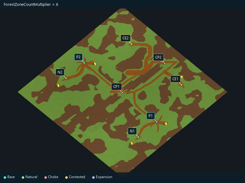
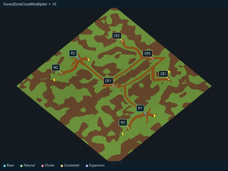
Few broad woods or more numerous small groves.
Soften the outline of paths.
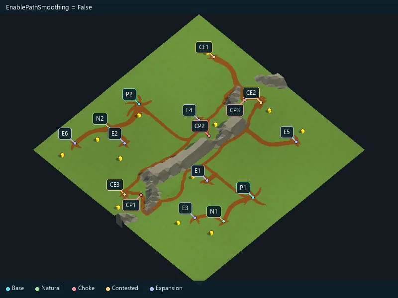
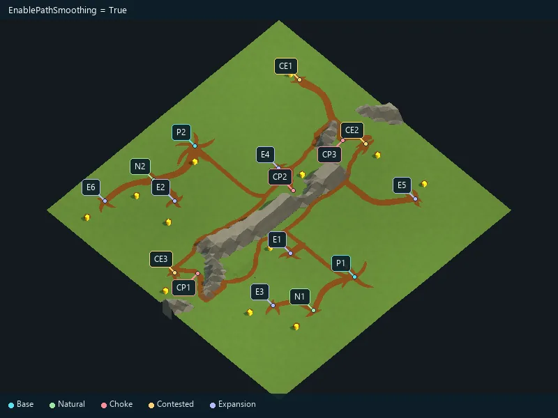
Soften the outline of paths.
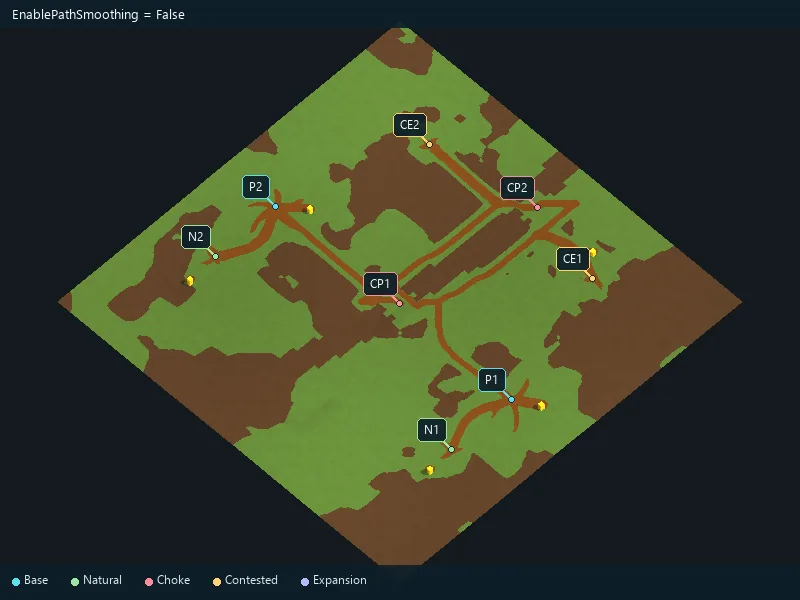
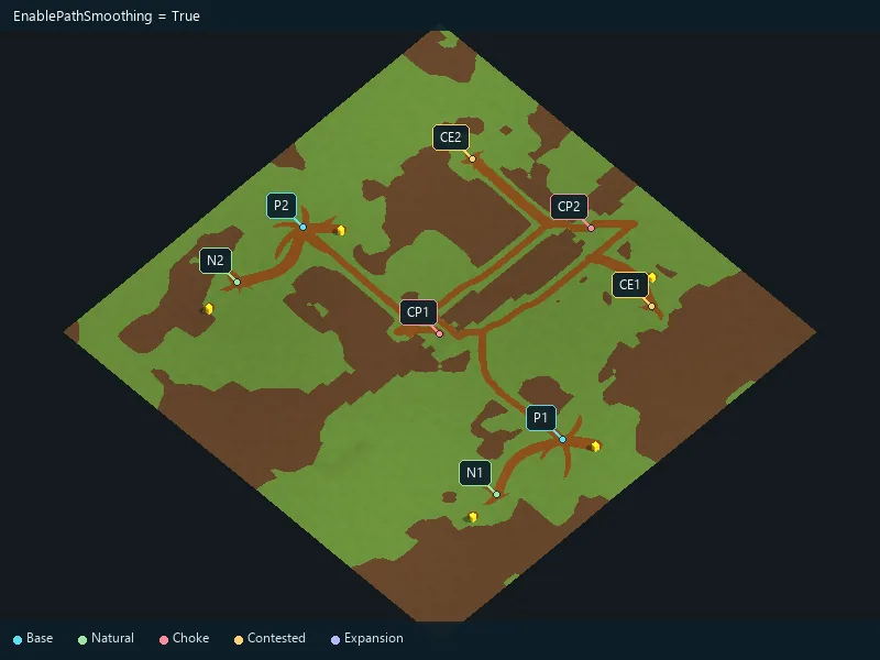
Soften the outline of paths.
Requested number of connections between locations.
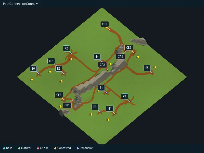
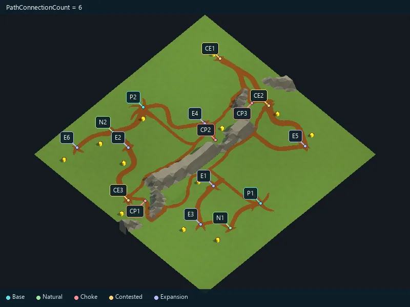
Additional long routes across the map.
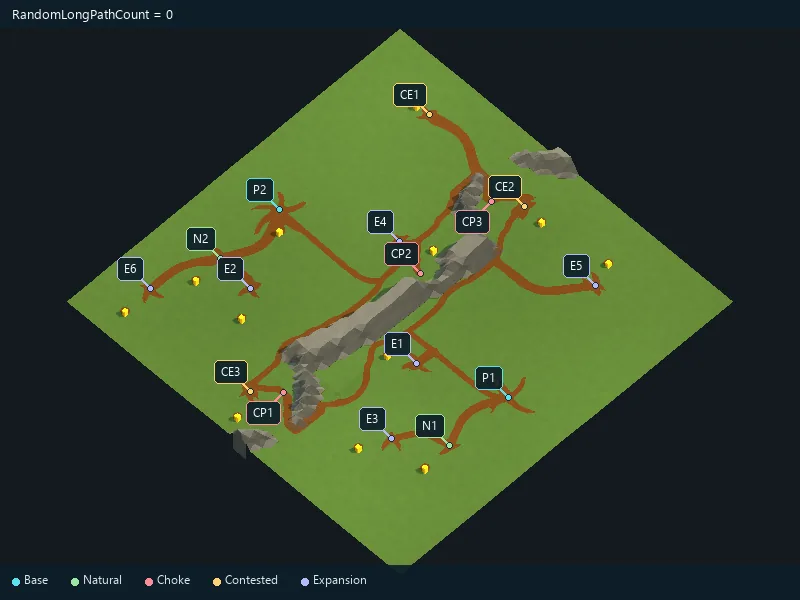
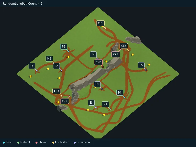
Additional decorative path branches.
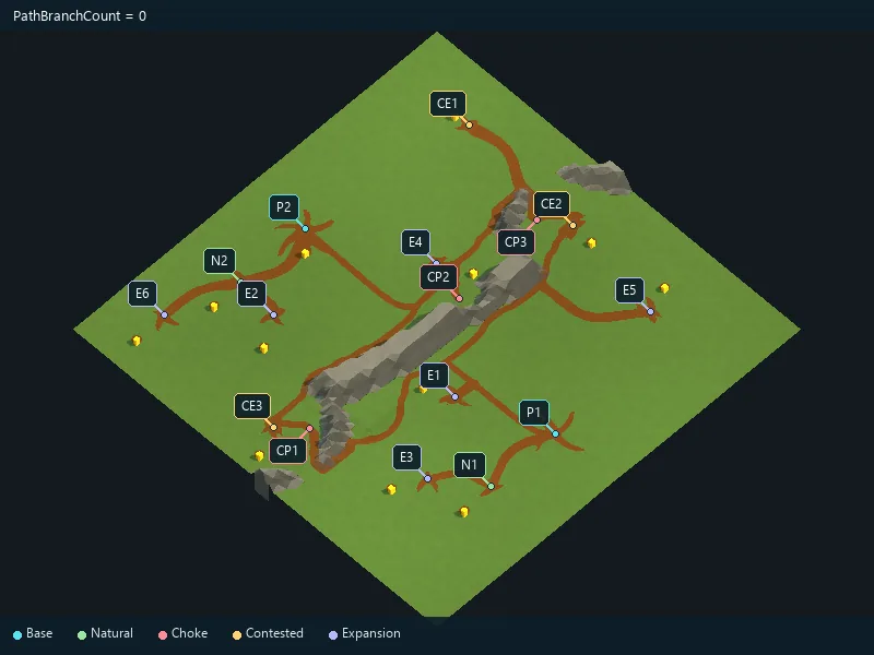
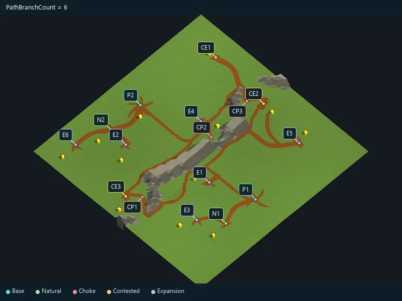
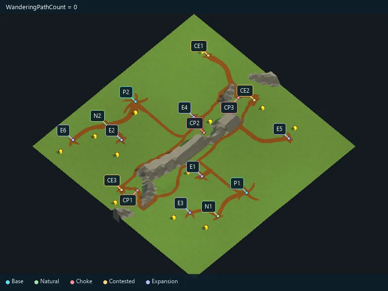
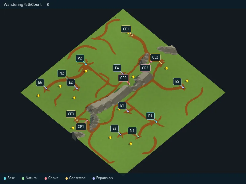
Additional meandering trails.
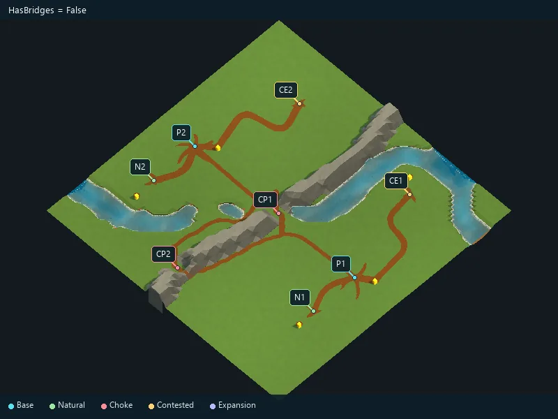
Enable river bridges where a crossing is possible.
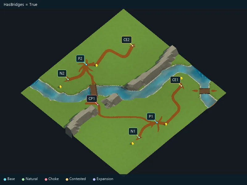
Enable mountains.
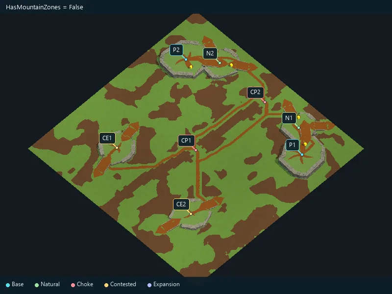
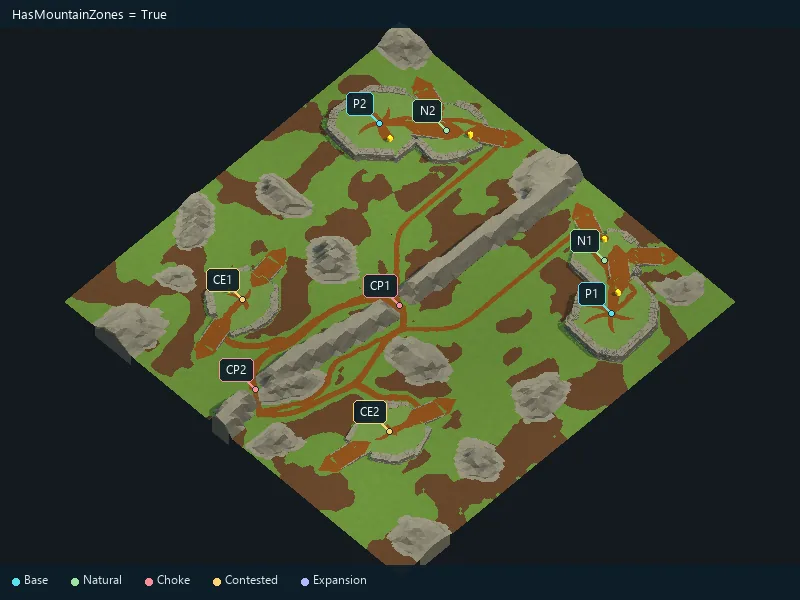
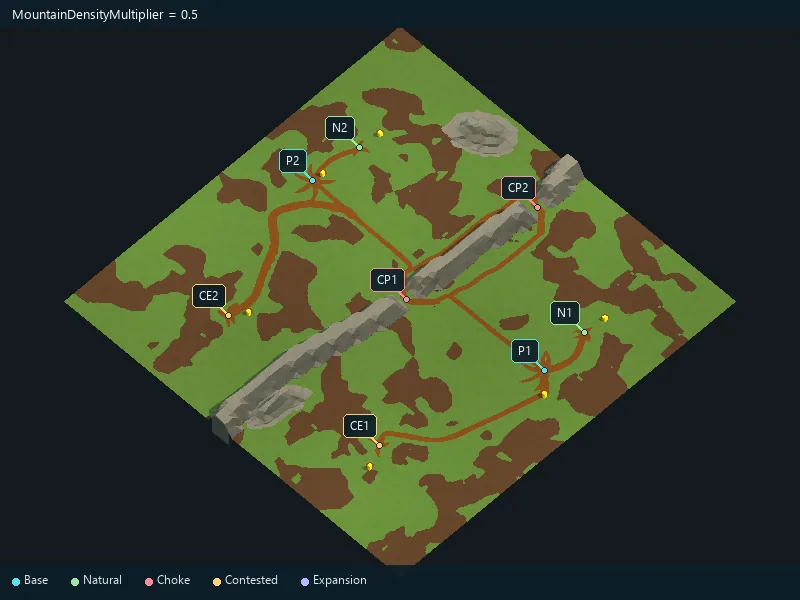
Overall amount of mountain formations.
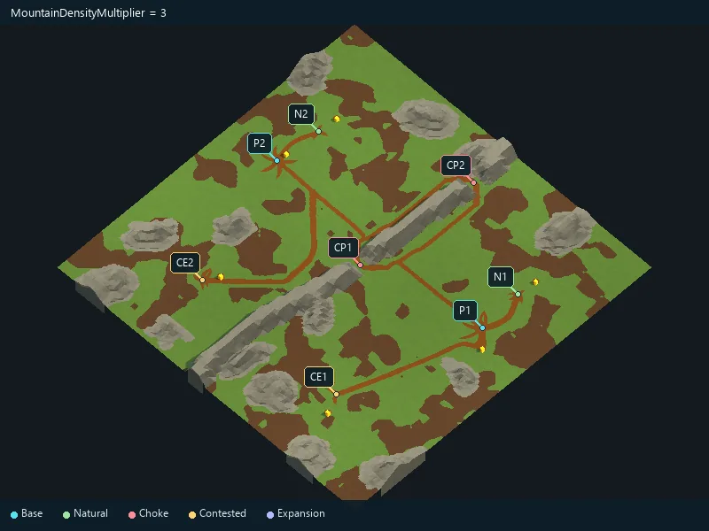
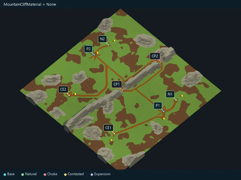
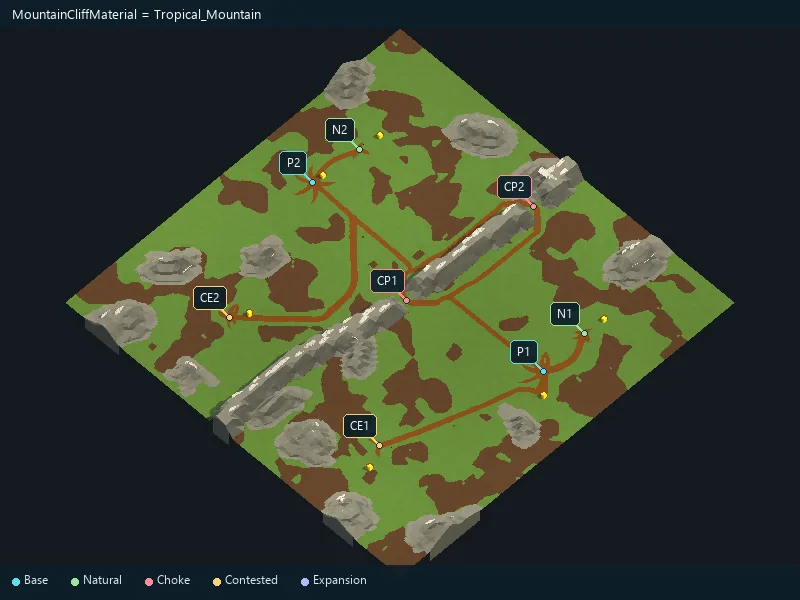
Material for mountain rock details.
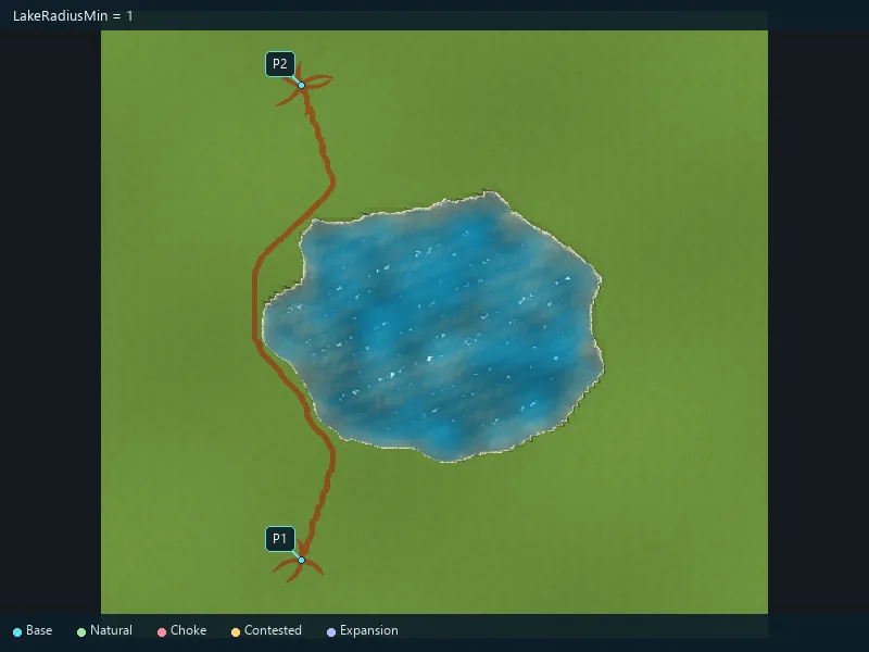
Minimum lake radius; keep it no greater than the maximum.
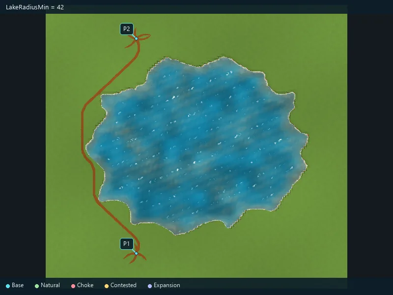
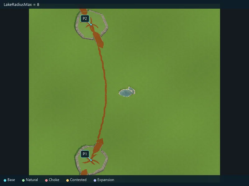
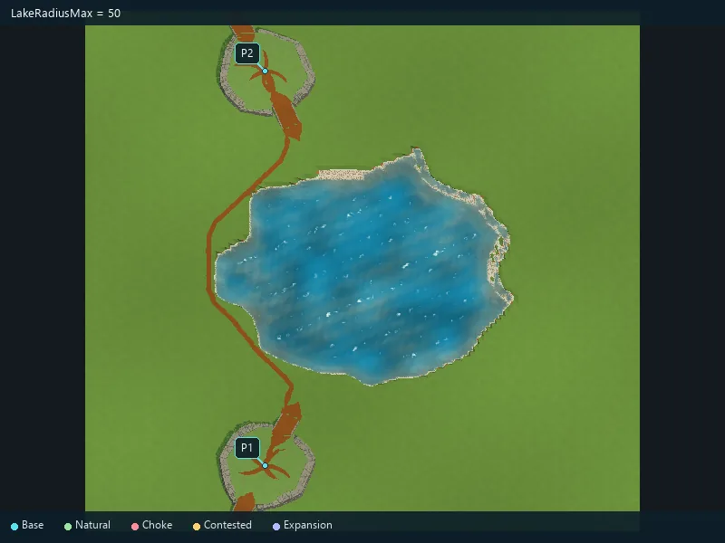
Maximum lake radius.
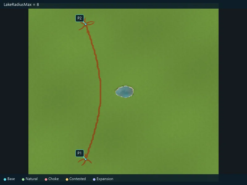
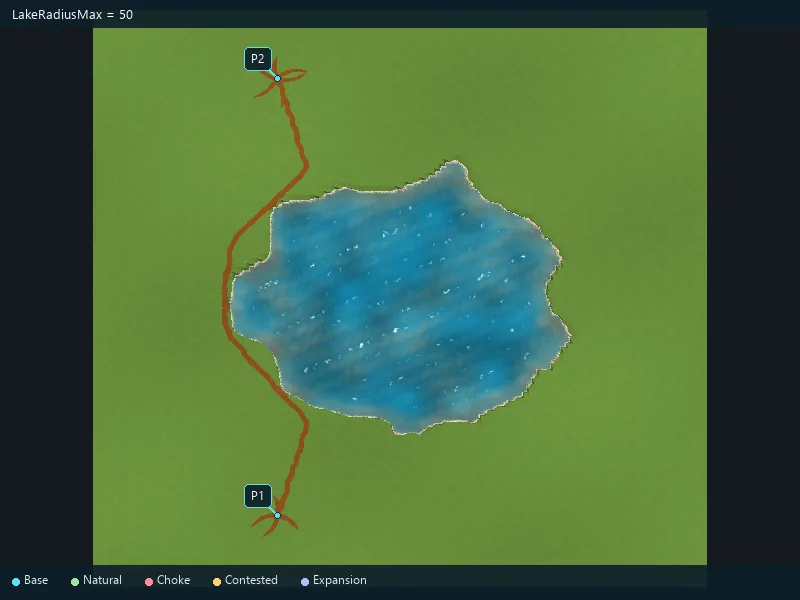
Minimum lake radius; keep it no greater than the maximum.
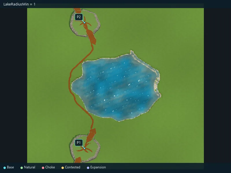
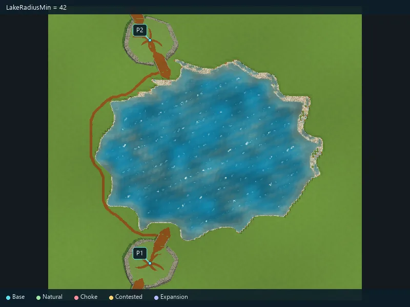
Maximum lake radius.
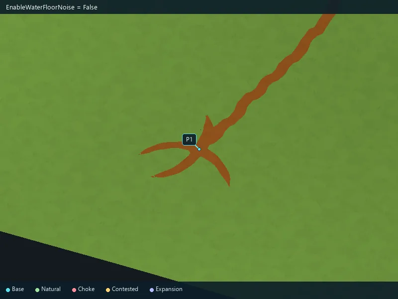
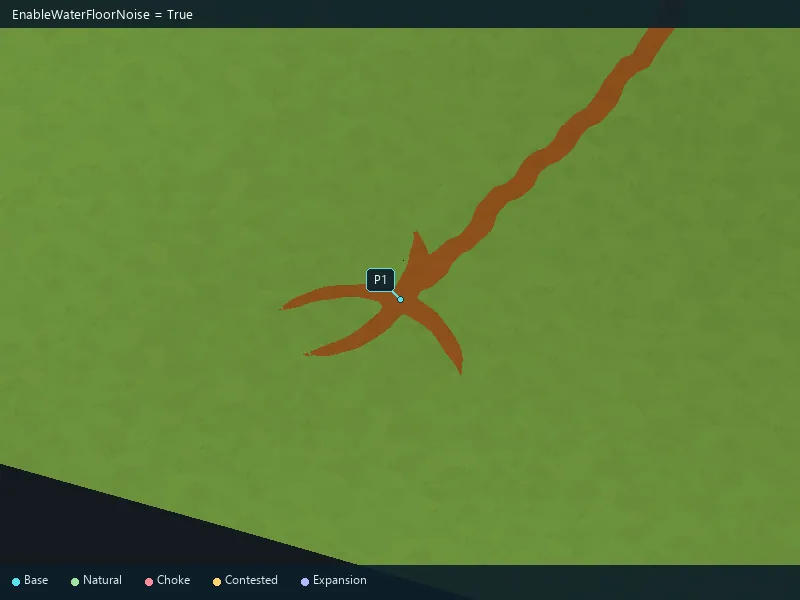
Add seabed relief variations.
Height of seabed variations.
Size of seabed variations.
Smoothness of seabed variations.
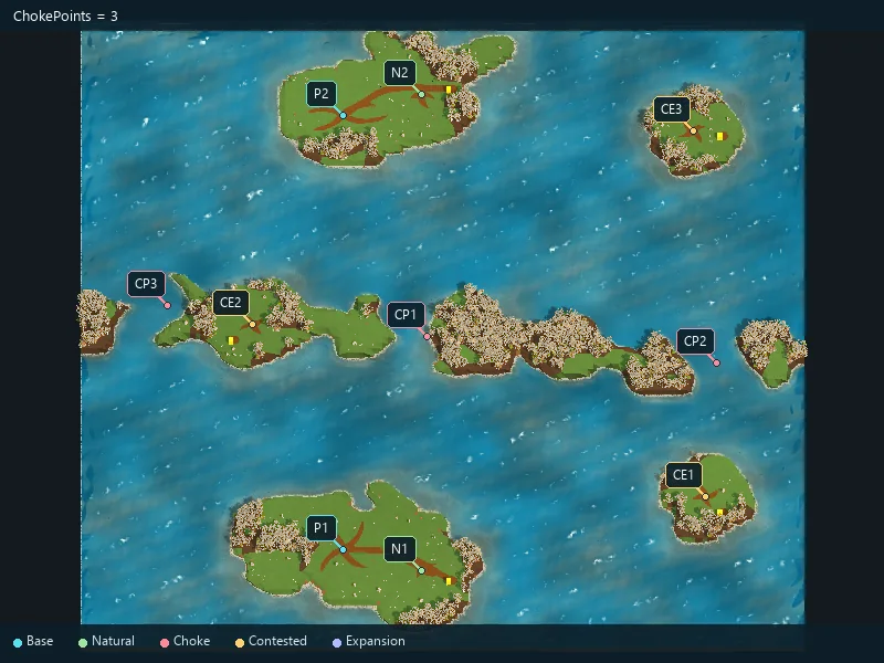
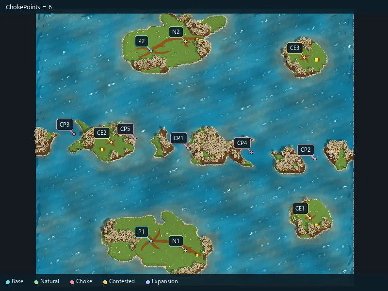
Requested strategic narrow passages.
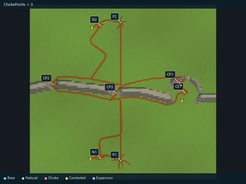
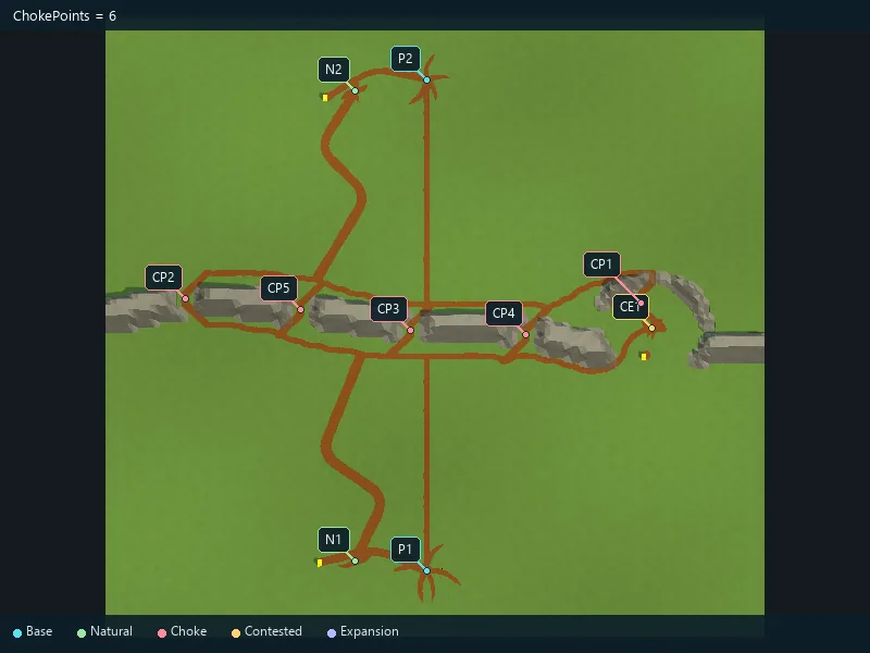
Requested strategic narrow passages.