Create a map from an image
- Select Image generation mode.
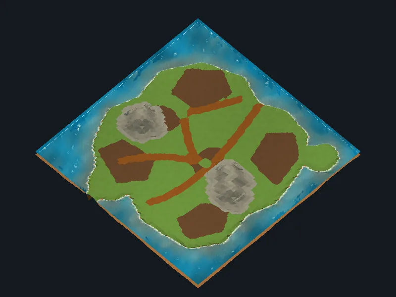
- Assign Source Map Image and a compatible Image Layer Set palette. The Starter includes an example image and editable palette.
- Use clear, flat colors matching the palette for ground, water, forests and mountains. Keep the image readable in its texture import settings.
- Choose Map Size and the image orientation, then generate.
Use contour smoothing and optional ground relief to refine the result. Imported Mountain Height controls the height of painted mountains. Enable Import Image Resources when you want to use resource markers drawn in the image.
See altitude for a separate grayscale height map, and settings for the available controls.